Download to read offline
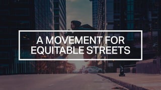

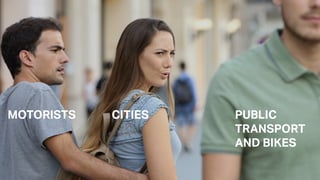

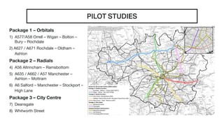
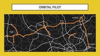

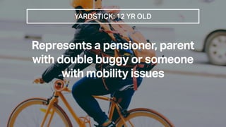
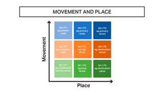
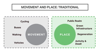
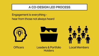

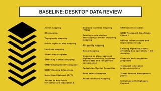


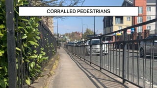
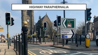
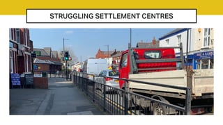

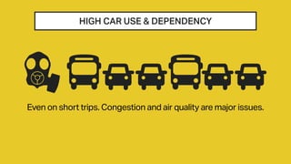

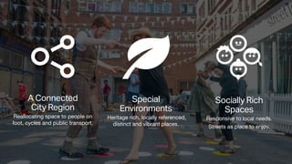
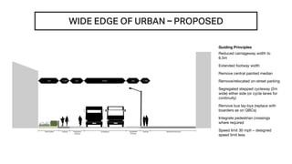
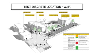
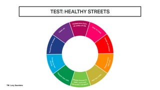
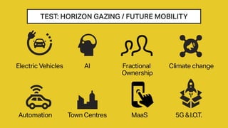
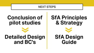
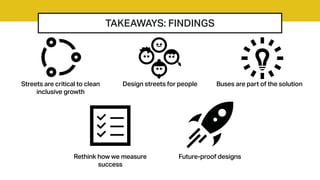
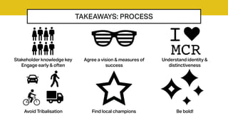


This document presents information on creating more equitable streets that balance the movement of people and goods. It discusses pilot projects in Greater Manchester that aim to reallocate street space from cars to walking, cycling, and public transit. The projects use a co-design process involving local stakeholders to understand issues like high car dependency, congested streets, and unsafe environments for pedestrians. The goal is to rebalance streets to encourage modal shift, improve public health, and enhance local communities and places. Next steps include detailed street design, developing design principles and strategies, and taking lessons from the pilot projects.


