Download to read offline
![[results]: webportal (s)
taxonomy, biogeography
vizualisation
open access
860,458 visitors
7,465,974 hits
>50,000,000 dld records
ANTABIF coming up](https://image.slidesharecdn.com/danisxlink2011-110506094542-phpapp02/85/Danis-xlink2011-6-320.jpg)
![[results]: webportal (s)
Terrestrial
Marine Biodiversity Biodiversity
Webrepository Field Guides
Metadata catalogue Blog](https://image.slidesharecdn.com/danisxlink2011-110506094542-phpapp02/85/Danis-xlink2011-7-320.jpg)
![[results]: taxonomic data
• The first RAMS
all taxa
• Board of 60+ editors
all species • Feeds WoRMS, CoL and EoL
valid species
• 17,098 taxa (RAMS)
• Building a dynamic RAS
• 24,248 taxa (RAS)
0 3,750 7,500 11,250 15,000](https://image.slidesharecdn.com/danisxlink2011-110506094542-phpapp02/85/Danis-xlink2011-8-320.jpg)
![[results]: geospatial data
1,288,441 records
196 datasets
119 geodatasets
5,235 taxa
Feeds OBIS, GBIF
Downloadable
WebGIS
Webservices](https://image.slidesharecdn.com/danisxlink2011-110506094542-phpapp02/85/Danis-xlink2011-9-320.jpg)
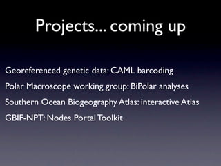
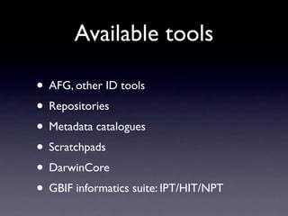

The document discusses two biodiversity information networks - SCAR-MarBIN and ANTABIF - that provide free and open access to Antarctic biodiversity data. They follow a general philosophy of building an electronic ecosystem that exposes biodiversity data and metadata in multiple contexts through community collaboration and standardization. The networks have developed web portals, taxonomic and geospatial databases, field guides, and tools that follow open standards to facilitate data sharing and discovery. Projects aim to georeference genetic data and develop a Southern Ocean biogeography atlas.


![[DCTPE2010] Biodiversity & Drupal](https://cdn.slidesharecdn.com/ss_thumbnails/dctpe2010-biodiversity-drupal-100912090622-phpapp01-thumbnail.jpg?width=640&height=640&fit=bounds)


