Download to read offline
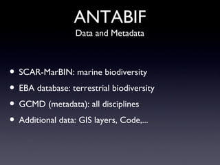
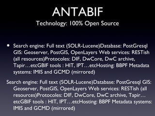
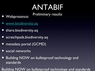
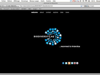
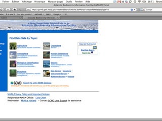
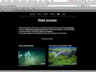
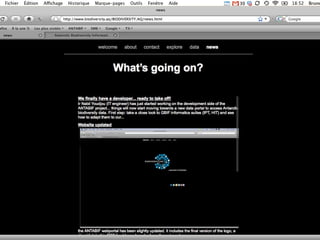
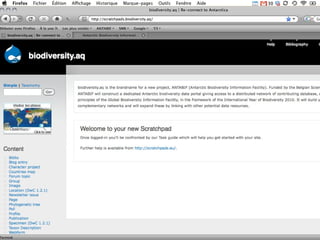
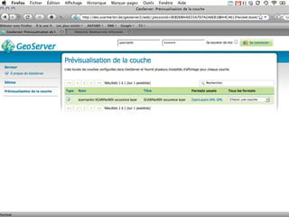
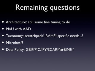

The Antarctic Biodiversity Information Facility (ANTabIF) serves as a comprehensive access point for Antarctic biodiversity data, funded by the Belgian Science Policy Office until the end of 2011. It integrates multiple data types and metadata through a range of open-source technologies and protocols, emphasizing collaborative efforts with entities like the Global Biodiversity Information Facility and the Australian Antarctic Division. Ongoing developments aim to refine its architecture, improve data policies, and enhance user engagement through social networks.


