Download to read offline
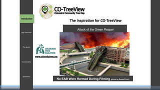
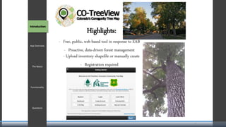
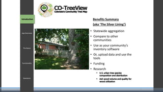
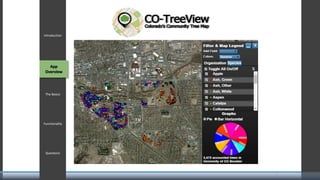
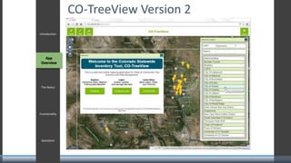
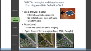
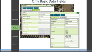
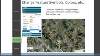
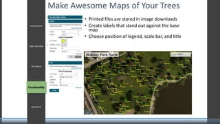
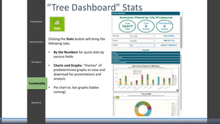


This document outlines an agenda for a presentation on CO-TreeView, a web-based tool for mapping and analyzing urban tree inventories. The presentation will include introductions of staff, an overview of the app's functionality, and a discussion of challenges with statewide mapping of urban trees. The app allows users to upload tree inventory data, plot points on aerial imagery, customize symbols and colors, generate maps and statistics. It provides a tool for proactive, data-driven forest management in response to the Emerald Ash Borer.


