Agenda
• What AreThey?
• Geographic Coordinate Systems
• Projected Coordinate Systems
• South African Coordinate Reference System
• Demonstration
3.
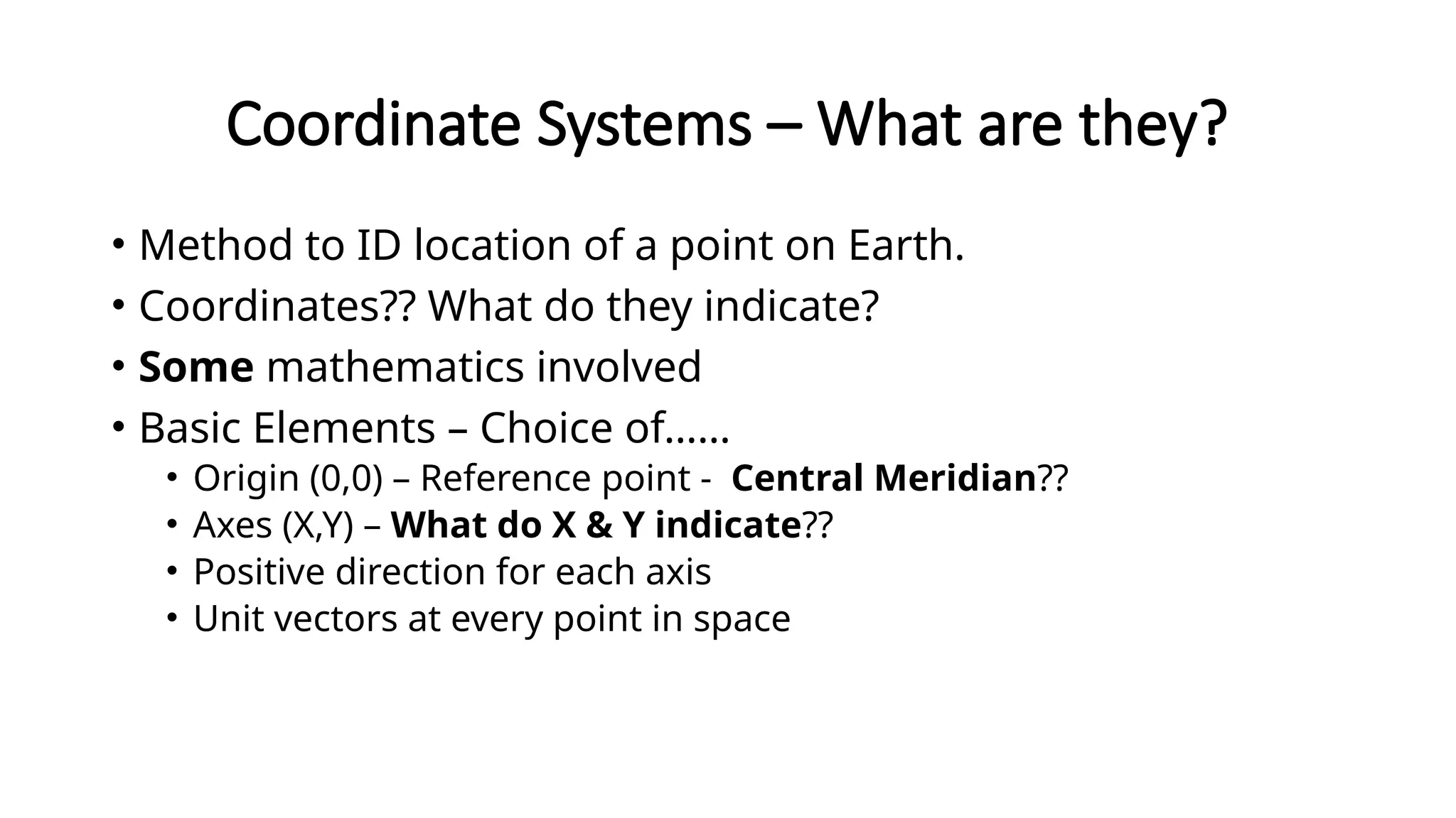
Coordinate Systems –What are they?
• Method to ID location of a point on Earth.
• Coordinates?? What do they indicate?
• Some mathematics involved
• Basic Elements – Choice of……
• Origin (0,0) – Reference point - Central Meridian??
• Axes (X,Y) – What do X & Y indicate??
• Positive direction for each axis
• Unit vectors at every point in space
4.
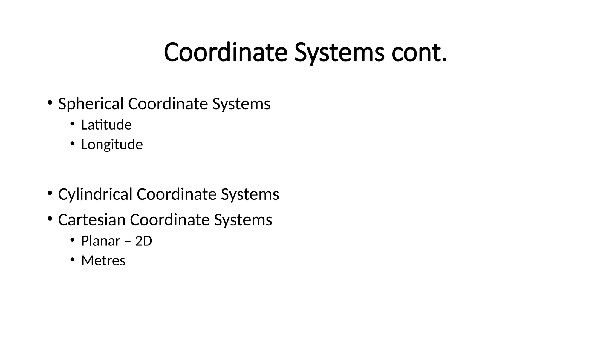
Coordinate Systems cont.
•Spherical Coordinate Systems
• Latitude
• Longitude
• Cylindrical Coordinate Systems
• Cartesian Coordinate Systems
• Planar – 2D
• Metres
5.
Agenda
• What AreThey?
• Geographic Coordinate Systems
• Projected Coordinate Systems
• South African Coordinate Reference System
• Demonstration
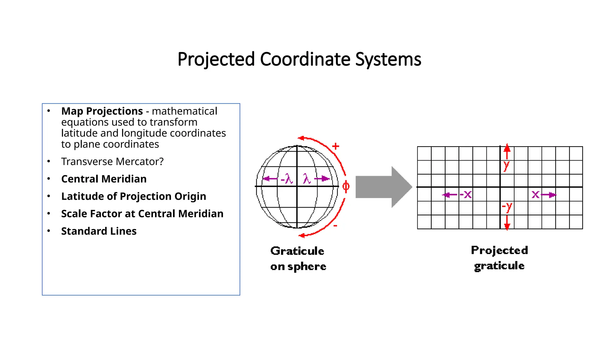
Projected Coordinate Systems
•Map Projections - mathematical
equations used to transform
latitude and longitude coordinates
to plane coordinates
• Transverse Mercator?
• Central Meridian
• Latitude of Projection Origin
• Scale Factor at Central Meridian
• Standard Lines
8.
South African CoordinateSystems
• Cape Datum 1880
• Hartebeeshoek 1994
• WGS 1984
• Transverse Mercator
9.
Transformations
• Transform fromone projection to the other
• Cape to Haartebeeshoek, vice versa
• Hartebeeshoek to WGS, vice versa
• Difference?
#3 a method for identifying the location of a point on the earth. Most coordinate systems use two numbers, a coordinate, to identify the location of a point. Each of these numbers indicates the distance between the point and some fixed reference point, called the origin. The first number, known as the X value, indicates how far left or right the point is from the origin. The second number, known as the Y value, indicates how far above or below the point is from the origin. The origin has a coordinate of 0, 0.