Downloaded 12 times
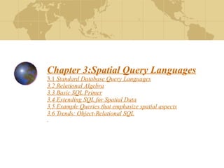
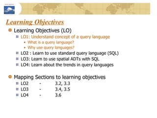
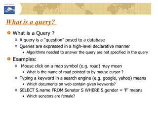
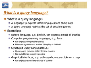
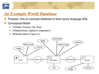
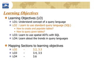
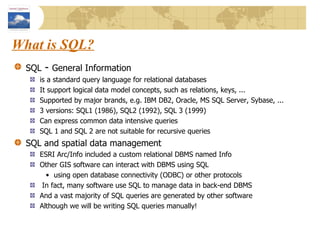
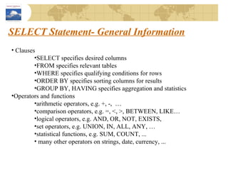
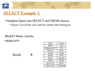
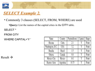
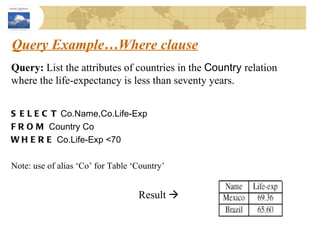
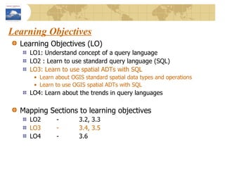
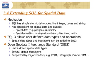
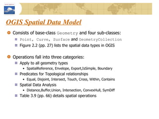
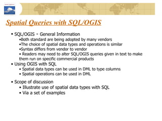
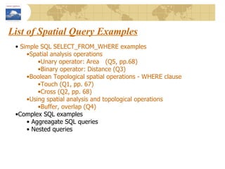
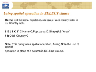
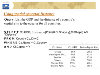
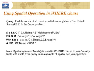
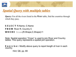
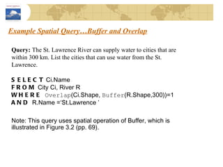
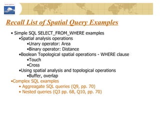
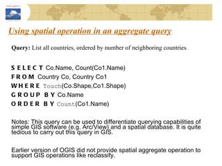
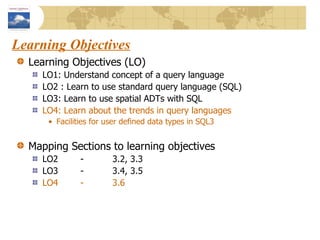

The document discusses spatial query languages and SQL. It begins by introducing learning objectives about understanding query languages, using SQL, extending SQL for spatial data, and trends in query languages. It then provides examples of using SQL to query spatial data by making use of the Open Geodata Interchange Standard (OGIS) spatial data types and operations within SQL queries.