Download to read offline
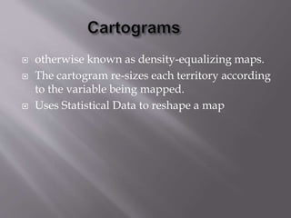

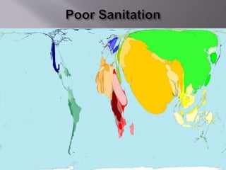

This document discusses cartograms, which are maps that re-size territories based on statistical data rather than geographic size, so areas with more data are larger on the map. Cartograms use statistical data to reshape a standard map, making areas proportional to a particular variable like population rather than physical size.


