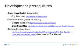
Download as PDF, PPTX


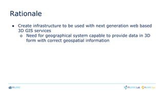
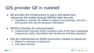
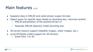
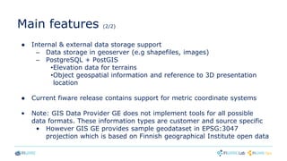
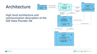
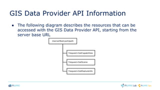
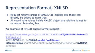
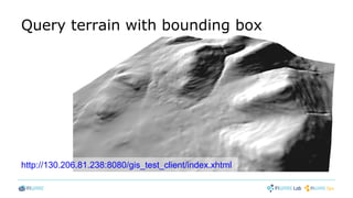
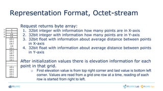
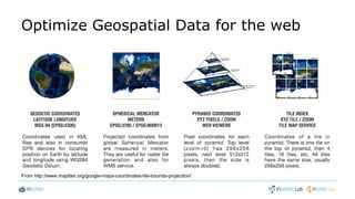
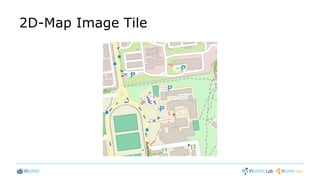
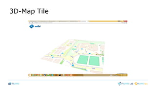
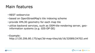
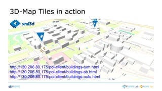
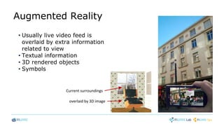
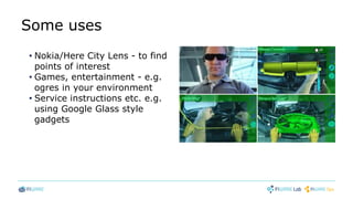


This document discusses 3D mapping technologies. It begins by introducing a 3D-Cities GE that provides 3D city models for augmented reality applications. It then discusses a GIS Data Provider GE that offers 3D geospatial data through REST APIs. This GE supports data formats like XML3D and provides features like terrain textures, level of detail for 3D models, and spatial queries. Lastly, it briefly introduces a 3D-Map Tiles SE that generates 3D map tiles from geospatial data to optimize rendering of 3D maps in web applications.