
Download to read offline
![Ask a Researcher!
What is the timeline of the research?
Tell me more about your background and your institution
How much time will a survey /interview take?
Do you have an IRB (Institutional Review Board) process?
Will this call or email be recorded?
Did you user test the survey before sharing?
Who else are you speaking with from the digital community?
Will we (digital community) be cited or just the individual?
Are there anonymization issues that require attention (E.g. the value of your product may be
sensitive for first responders and humanitarian workers in the field)?
What other information products/ papers will you produce?
Can I review the work before you publish it?
Can you please confirm that [insert org] will be credited in the notes as a contributor?](https://image.slidesharecdn.com/buildingacitizenengagedresearchprojectfinalaugust42016-160804105247/75/Building-a-Citizen-Engaged-Research-Project-24-2048.jpg)

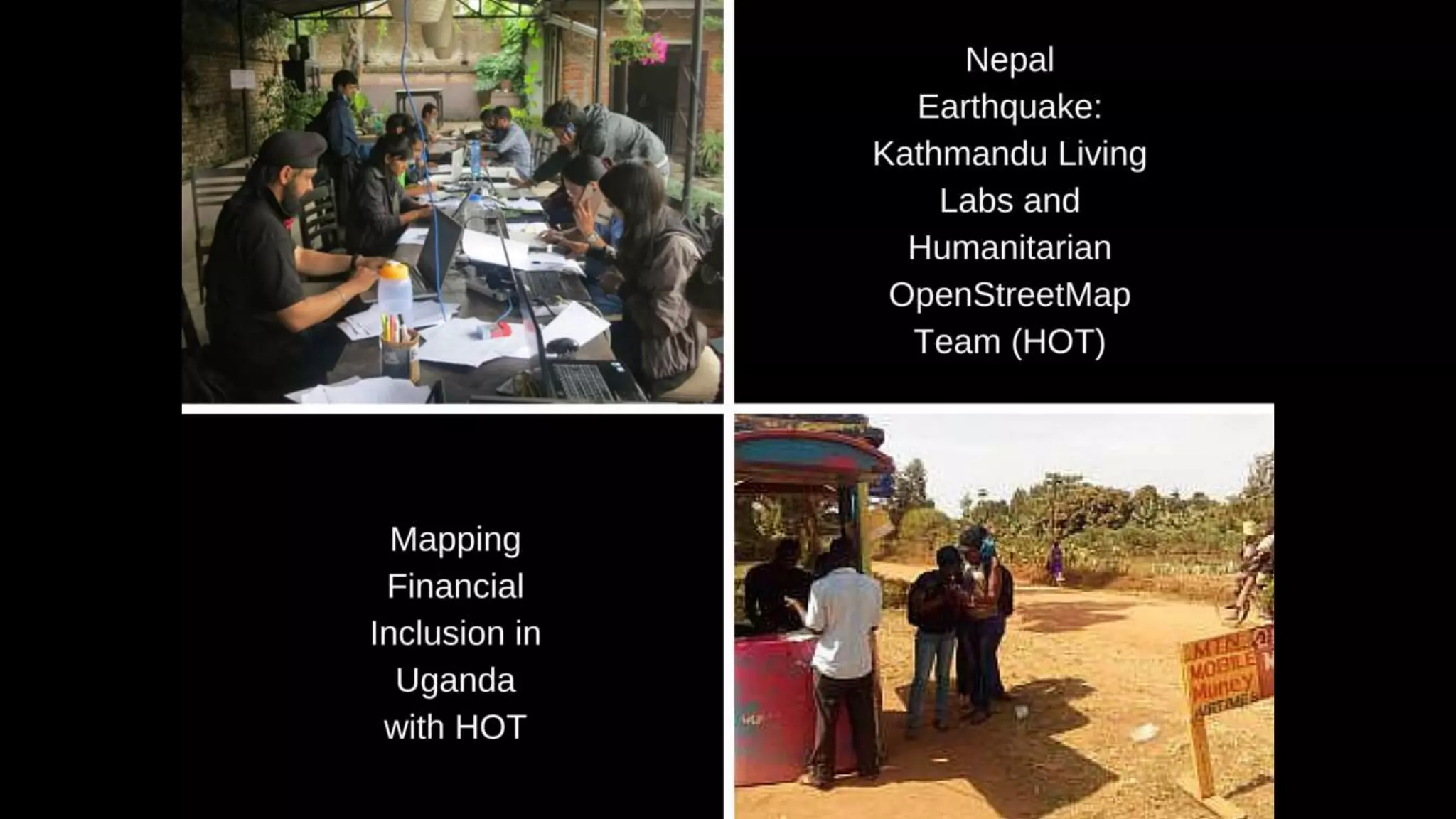
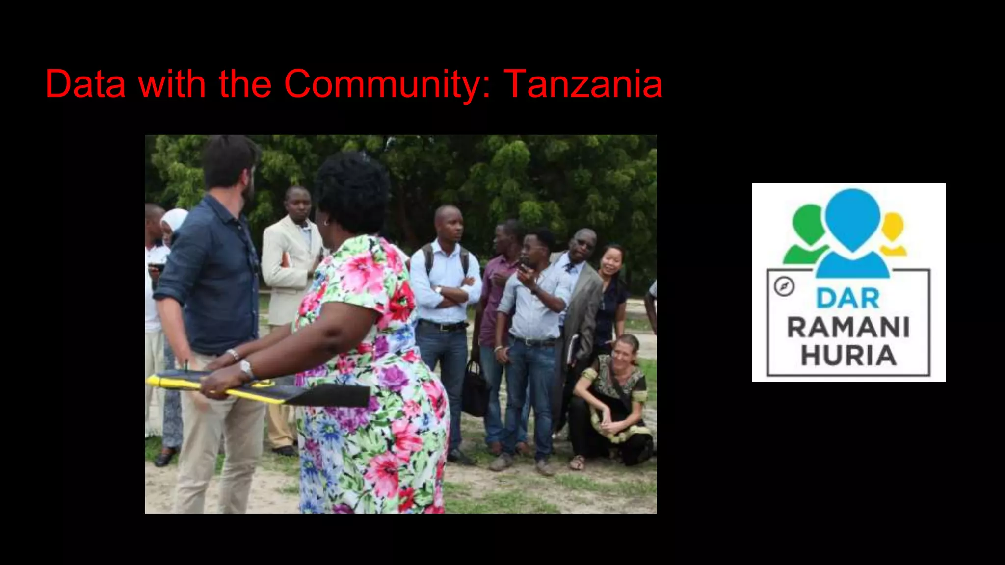
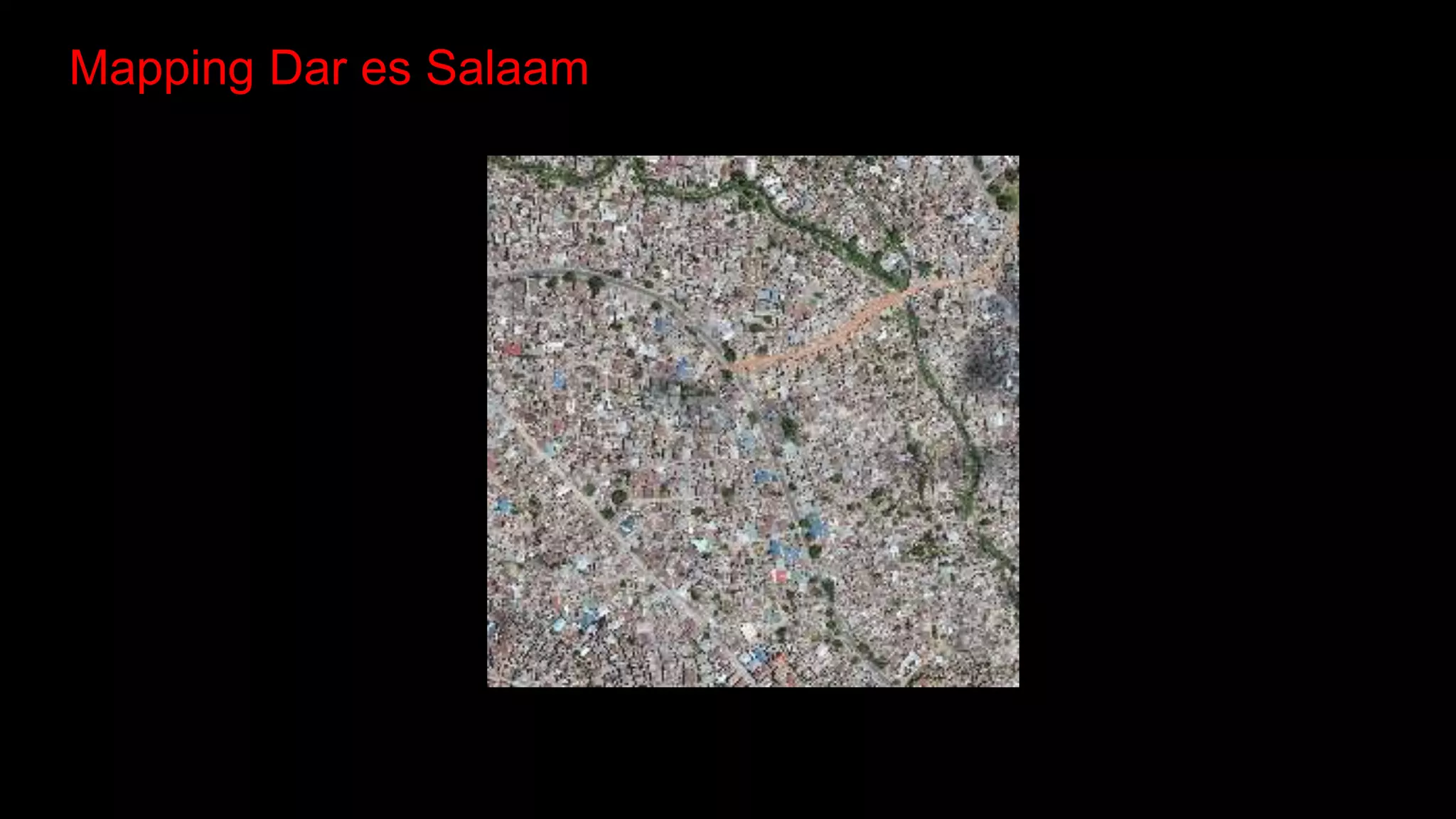
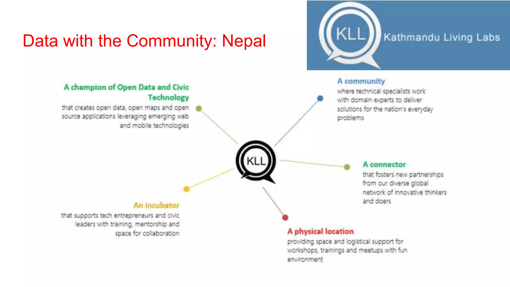
The document discusses the work of the Humanitarian OpenStreetMap Team (HOT) in creating community-driven maps that support humanitarian responses to crises. It highlights collaborations with organizations like the American Red Cross and provides insights from research conducted in various regions on the impact of mapping activities. Additionally, it invites academic partnerships and encourages engagement in community-based research projects.


