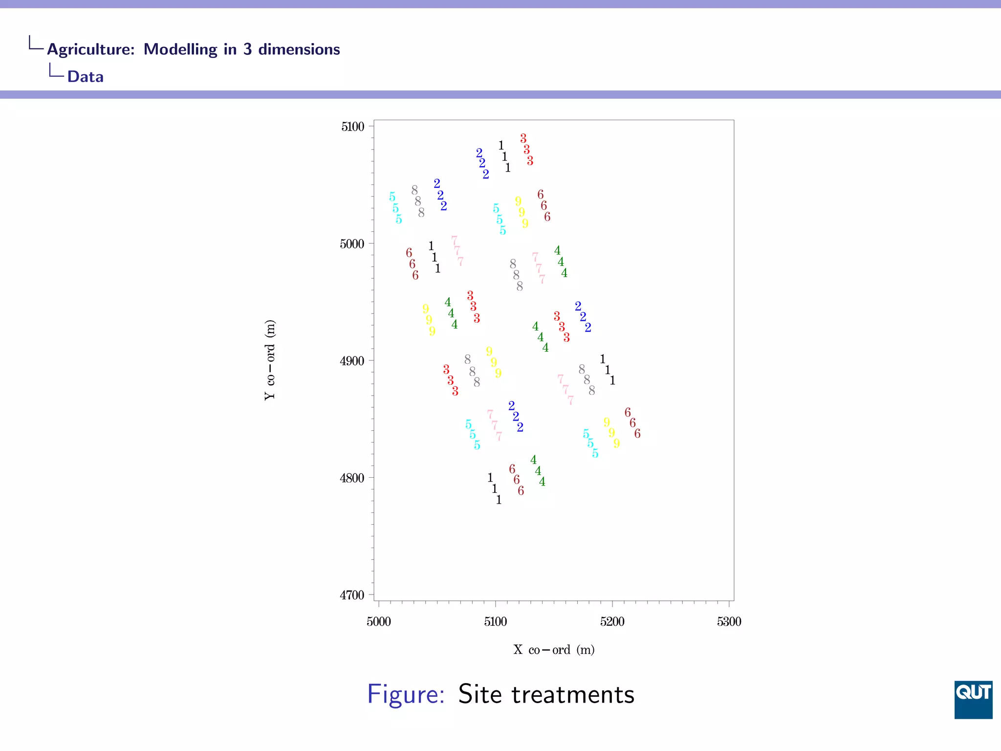
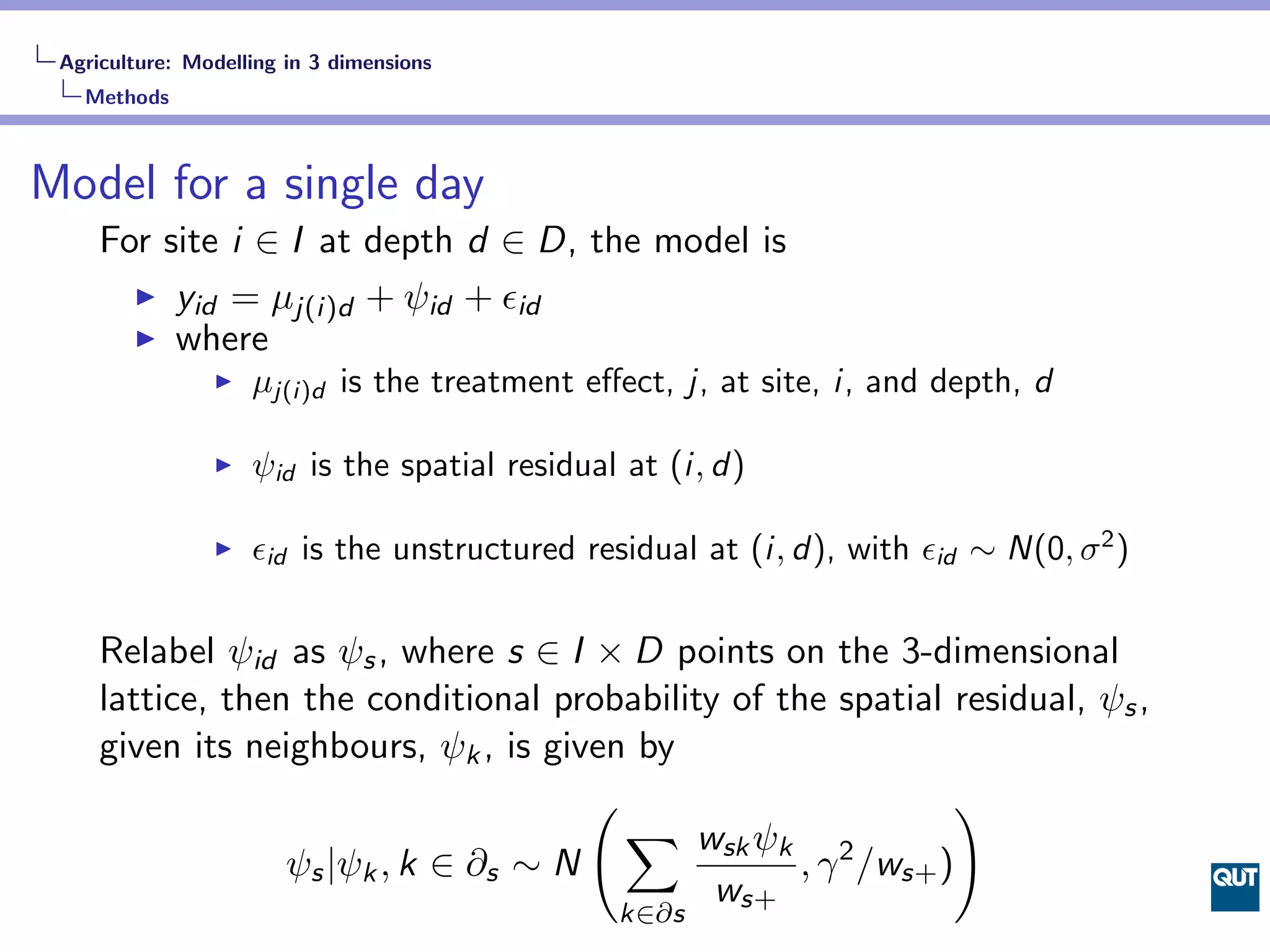
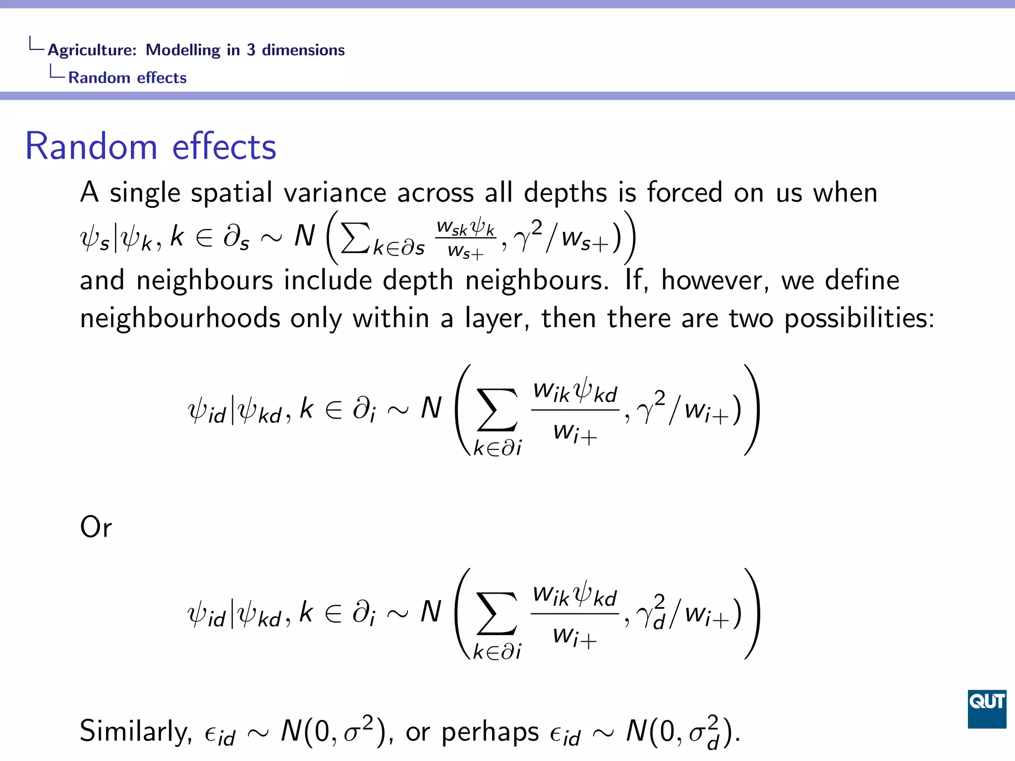
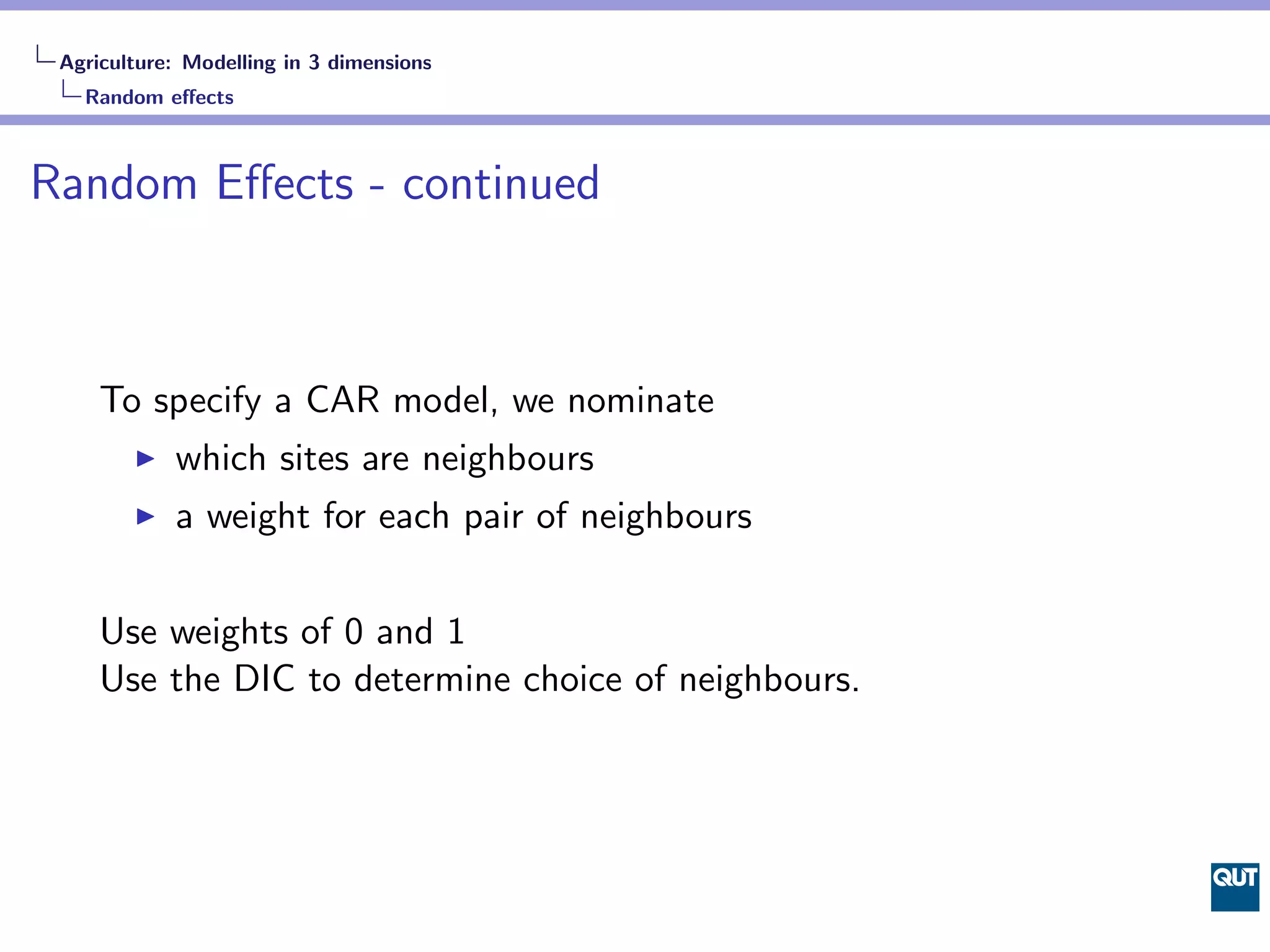
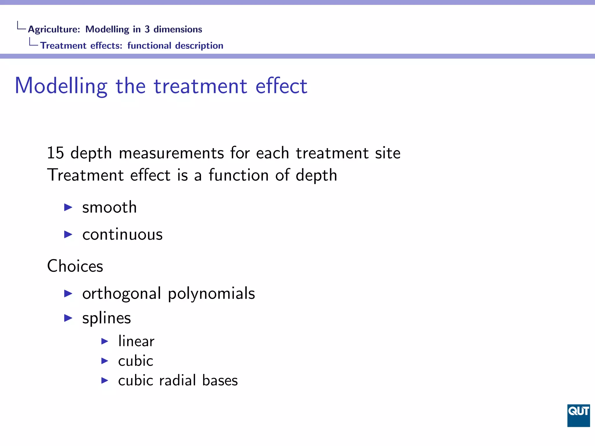
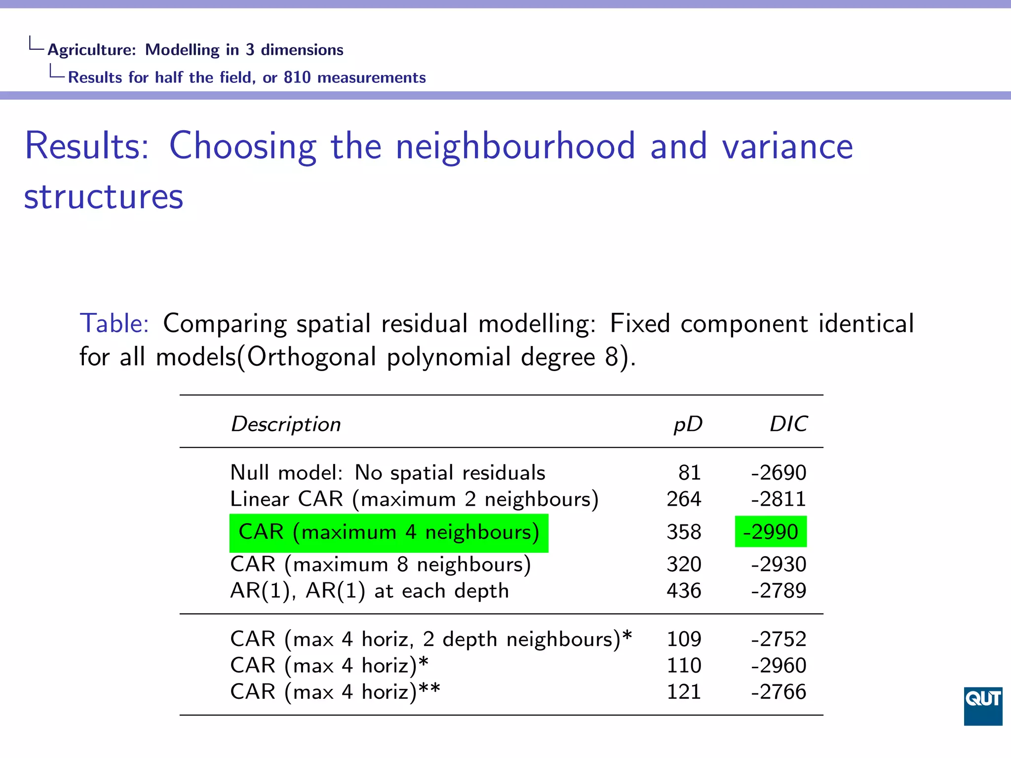
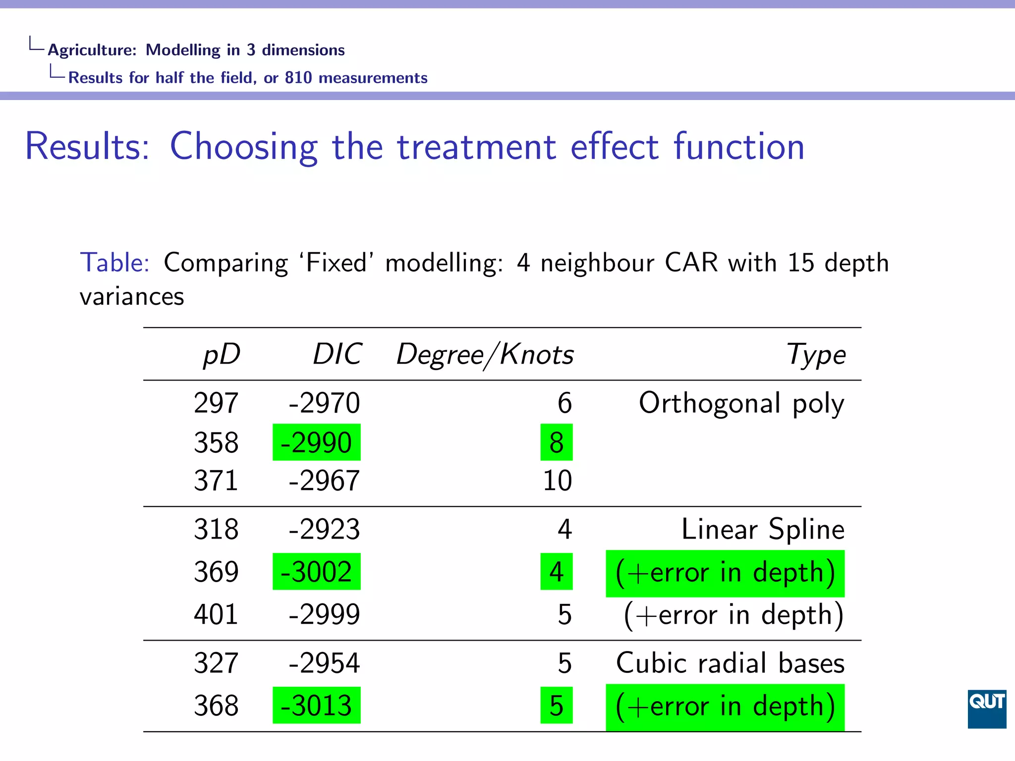
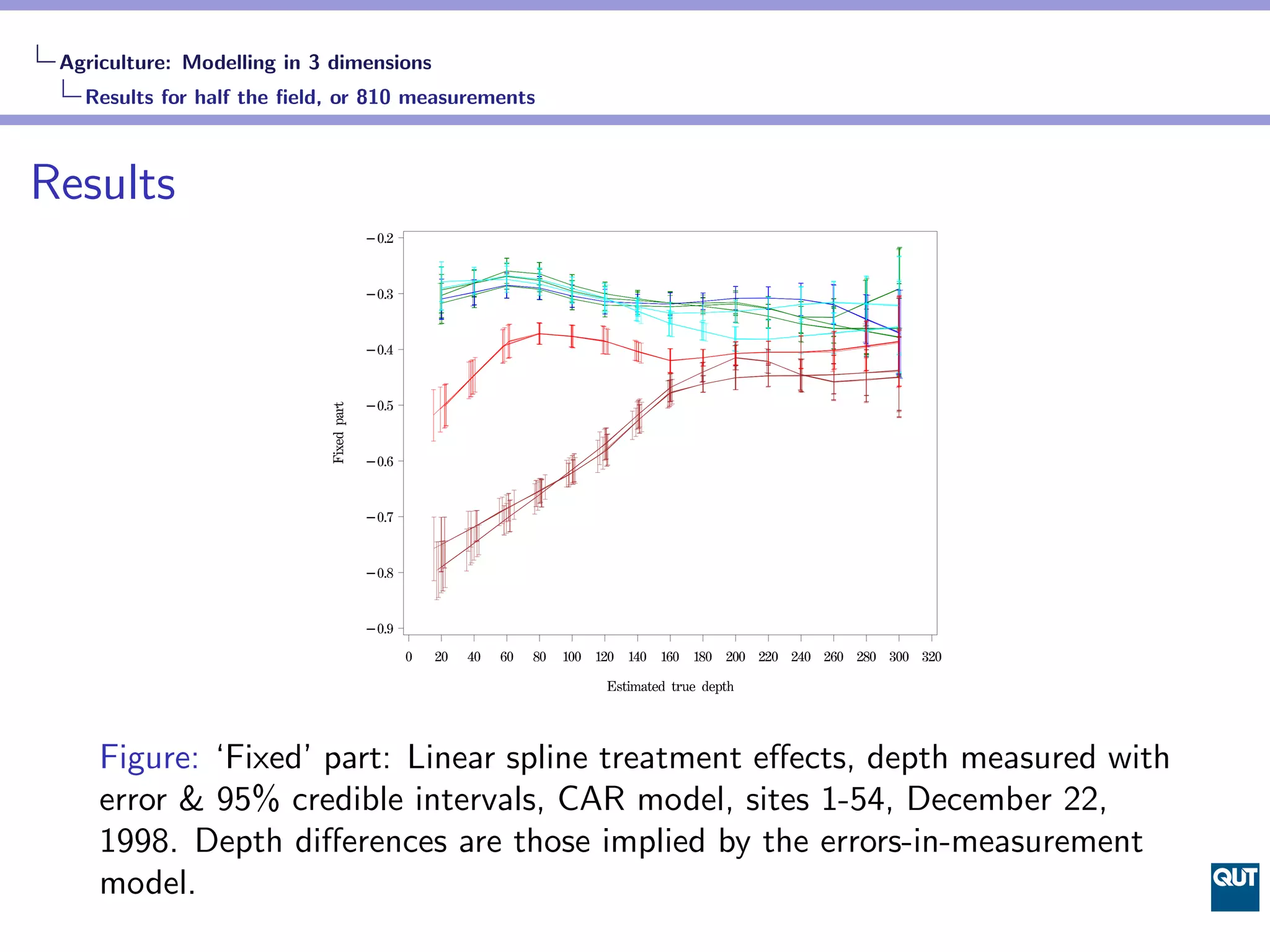


The document describes models for analyzing agricultural data with measurements in 3 and 4 dimensions (space and time). For the 3D model, a CAR model is used with layered neighborhoods to account for spatial autocorrelation between neighboring sites within each depth layer. Various treatments, random effects structures, and functional forms are compared using DIC. The 4D model extends the daily 3D model to multiple time points. Due to computational constraints, preliminary modeling is done by repeating the daily 3D model for several days of the full dataset, rather than using a single complex spatio-temporal model.