
Downloaded 264 times
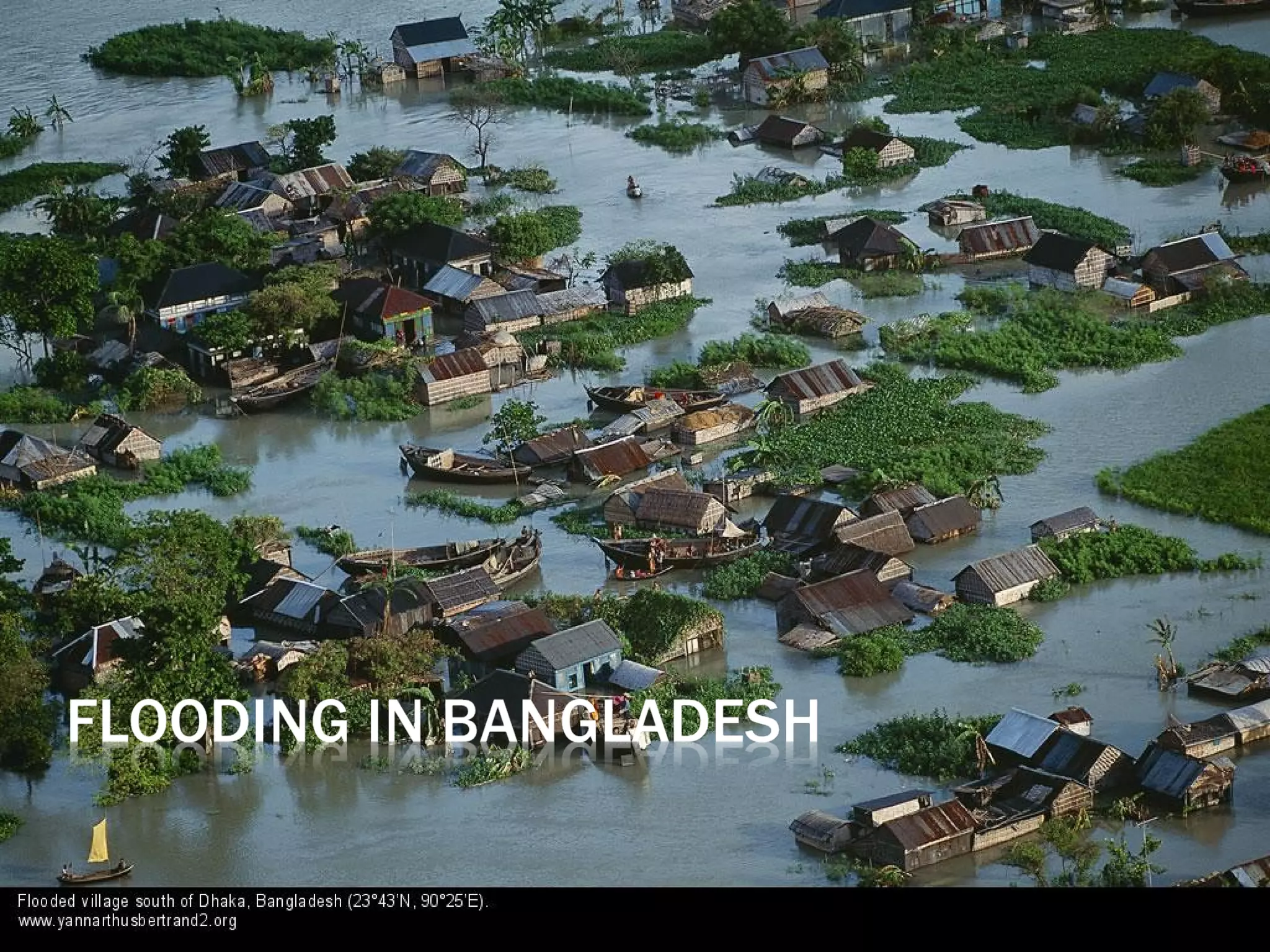


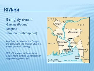
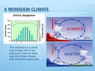
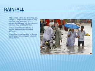
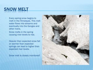
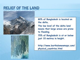

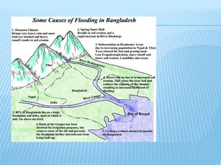
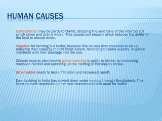
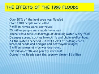


The document discusses flooding in Bangladesh. It describes how Bangladesh experiences regular flooding due to its location at the confluence of three major rivers and its low-lying delta. Flooding causes widespread damage but also replenishes soils. Proposed solutions like embankments have had limited success due to high costs and environmental impacts. A mixture of strategies like forecasting, shelters, and eco-friendly projects may better help Bangladesh adapt.


