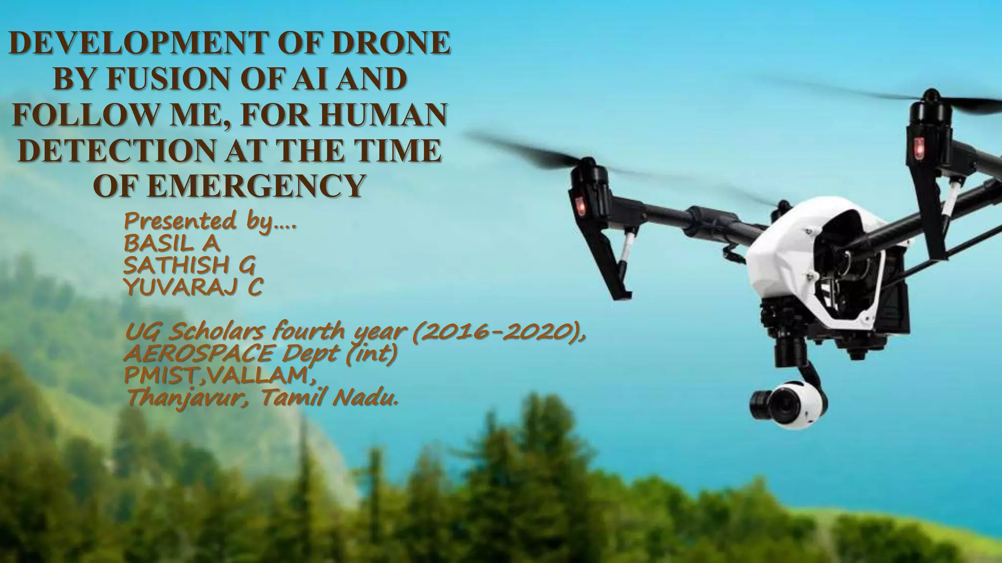
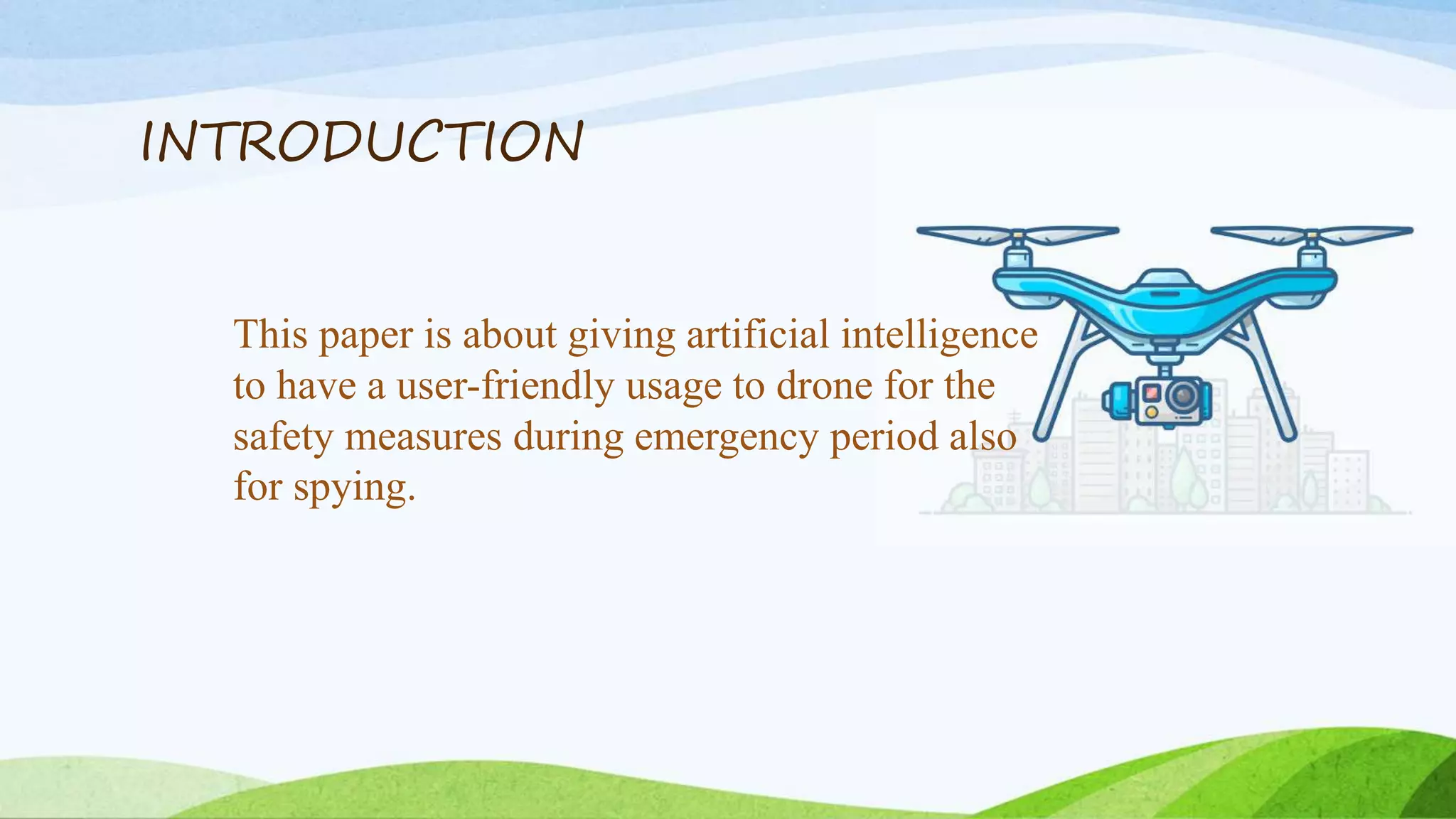
DEVELOPMENT OF DRONE
BY FUSION OF AI AND
FOLLOW ME, FOR HUMAN
DETECTION AT THE TIME
OF EMERGENCY
Presented by….
BASIL A
SATHISH G
YUVARAJ C
UG Scholars fourth year (2016-2020),
AEROSPACE Dept (int)
PMIST,VALLAM,
Thanjavur, Tamil Nadu.
Content
• Introduction
• Abstract
• Objectives
• Literature survey
• Methodology
• Autopilot System
• Conclusion
INTRODUCTION
This paper is about giving artificial intelligence
to have a user-friendly usage to drone for the
safety measures during emergency period also
for spying.
ABSTRACT
The overview of this research paper involves the development of a fully Autonomous Multi-rotor that is
integrated with an Onboard Computer (Raspberry-Pi Zero and a PiCamera) and the application view is that
this Multi-rotor can be deployed to follow a person or a truck. The methodology involved is the fabrication
of a multi-rotor (Quadrotor),programming Artificial Intelligence (AI),development of the follow up
algorithm using python, integration of camera to the On-board computer, interfacing the On-board
computer with the flight controller, testing of the autonomous drone, validation of the test results and
optimization of the result if required. The working procedure is that once the drone is deployed the camera
streams it’s point of view and identifies the person/object that is to be surveyed based on our selection, then
the onboard computer sends the programmed maneuvering commands to the flight controller. The real time
streaming is possible with a Wi-Fi module for a short distance for about 100 meters. Every actions and
videos are recorded. In case of emergency actions, responding will take place accordingly.
OBJECTIVES
 Basic Drone Features: GPS Waypoint Navigation, Live
Stream Video FPV, Altitude Hold, Position Hold, Return to
Home).
 Face Recognition.
 Detect the emergency action or code.
 Respond accordingly to the action or code.
 "Follow me" mode with GPS.
 Fully Automatic Flying System / with Raspberry.
 Avoiding People (if they are too close).
 Avoiding Trees (by measuring and software calculating its
size).
 Telemetry via Bluetooth.
 Record all the action.
LITERATURE SURVEY
• Chowdhury, S., Emelogu, A., Marufuzzaman, M., Nurre, S. G., & Bian, L. (2017). Drones for disaster
response and relief operations: A continuous approximation model. International Journal of
Production Economics.
• Wang, Z., & Sheu, J.-B. (2019). Vehicle routing problem with drones. Transportation Research Part
B: Methodological.
• Clarke, R. (2016). Appropriate regulatory responses to the drone epidemic. Computer Law &
Security Review.
LITERATURE SURVEY
• Drones: military weapons, surveillance or mapping tools for environmental monitoring? The
need for legal framework is required Alessia Vacca, PhD in Lawa *1 Hiroko Onishi, PhD in
Lawb aUniversity of Sassari, Viale Mancini 5, Sassari 07100, Italy b Kingston University,
Kingston Upon Thames, Surrey, KT2 7LB,
• 20th EURO Working Group on Transportation Meeting, EWGT 2017, 4-6 September 2017,
Budapest, Hungary The use of UAV and geographic information systems for facility location
in a post-disaster scenario Leandro de Oliveira Silvaa,b*, Renata Albergaria de Mello
Bandeirab, Vânia Barcellos Gouvêa Camposb aUniversidade de Uberaba, Av. Nenê Sabino
nº 1801, Uberaba 38055-500, Brasil bInstituto Militar de Engenharia, Praça General
Tibúrcio nº 80, Rio de Janeiro 22290-270, Brasil
LITERATURE SURVEY
• Optimized deployment of drone base station to improve user experience in cellular networks Hailong
Huang Andrey V. Savkin Ming Ding, Mohamed Ali Kaafar a School of Electrical Engineering and
Telecommunications, University of New South Wales, Sydney, 2052, Australia Networks Research
Group, Data61, CSIRO, Eveleigh, Sydney, 2015, Australia.
• Public acceptance of drones: Knowledge, attitudes, and practice Burchan Aydin Department of
Engineering and Technology, Texas A&M University - Commerce, PO Box: 3011, Commerce, TX, USA.
• G.J. Fouché, R. Malekian, Drone as an Autonomous Aerial Sensor System for Motion Planning,
Measurement (2018).
• Autonomous killer drones set to be used by Turkey in Syria 10 | New Scientist | 28 September 2019.
• DESIGN AND CONTROL OF QUADROTORS WITH APPLICATION TO AUTONOMOUS FLYING
Prof. R. Clavel, président du jury Prof. R. Siegwart, directeur de these Prof. P. Corke, rapporteur Dr Ph.
Müllhaupt, rapporteur Prof. J.-D. Nicoud, rapporteur Lausanne, EPFL 2007.
METHODOLOGY
• Fabrication of the quadcopter.
• Program development of Arduino and python (for
AI).
• Cabling on-board computer with raspberry.
• Implement of FPV camera and raspberry pie camera.
• Fixing up additional components.
• Featuring GPS and Navigation Board.
• Transmitter and receiver setup.
• First Boot-Up and Quick Test.
• Programming Raspberry Pilot (auto pilot).
• Quick Indoor Hovering Test.
• Final outdoor testing.
AUTOPILOT SYSTEM
APM 2.8 Multicopter Flight Controller
The APM 2.8 Multicopter Flight Controller is a complete open source autopilot system and the bestselling
technology that won the prestigious Outback Challenge UAV competition. It allows the user to turn any fixed,
rotary wing or multirotor vehicle (even cars and boats) into a fully autonomous vehicle; capable of performing
programmed GPS missions with waypoints.
APM 2.8 Multicopter Flight Controller
Features:
 Using the built-in compass
 Straight Needle
 Arduino Compatible!
 Onboard 4 Megabyte Data flash chip for automatic data logging.
 Optional off-board GPS, a uBlox LEA-6H module with Compass.
 One of the first open-source autopilot systems to use Invensense’s 6 DoF
Accelerometer/Gyro MPU-6000.
 Barometric pressure sensor upgraded to MS5611-01BA03, from Measurement
Specialties.
 Atmel’s ATMEGA2560 and ATMEGA32U-2 chips for processing and USB
functions respectively.
 Powerful ground control software
Radio Telemetry 433MHz
This 3DR Radio Telemetry 433MHz 250mW Set allows you to link to a flight controller
to a USB or UART equipped device such as a computer, laptop or tablet supporting a USB
connection (OTG).
GPS
Ublox Neo 7M GPS module that includes an HMC5883L digital compass. The new Ublox
NEO 7 series is a high sensitivity, low power GPS module that has 56 channels and outputs
precise position updates at 10Hz. This GPS module also comes with a moulded plastic case
which keeps the module protected against the elements making it ideal for use on your aircraft or
quadcopter.
Ultra sonic Sensors
As shown above the HC-SR04 Ultrasonic (US) sensor is a 4 pin module, whose pin names are
Vcc, Trigger, Echo and Ground respectively. This sensor is a very popular sensor used in many
applications where measuring distance or sensing objects are required. The module has two eyes like
projects in the front which forms the Ultrasonic transmitter and Receiver. The sensor works with the
simple high school formula that
Distance = Speed × Time
Face Detection & Motion Detection
Face detection is a computer technology being used in a variety
of applications that identifies human faces in digital
images. Face detection also refers to the psychological process
by which humans locate and attend to faces in a visual scene.
Face-detection algorithms focus on the detection of frontal
human faces. It is analogous to image detection in which the
image of a person is matched bit by bit. Image matches with the
image stores in database. Any facial feature changes in the
database will invalidate the matching process.
Motion detection is the process of detecting a change in the position
of an object relative to its surroundings or a change in the
surroundings relative to an object. Motion detection can be achieved
by either mechanical or electronic methods. When motion detection is
accomplished by natural organisms, it is called motion perception.
PROGRAMMING
GSM
GSM (Global System for Mobile communication) is a digital mobile
network that is widely used by mobile phone users in Europe and
other parts of the world. GSM uses a variation of time division
multiple access (TDMA) and is the most widely used of the three
digital wireless telephony technologies: TDMA, GSM and code-division
multiple access (CDMA). GSM digitizes and compresses data, then
sends it down a channel with two other streams of user data, each in
its own time slot. It operates at either the 900 megahertz (MHz) or
1,800 MHz frequency band.
Testing
CONCLUSION
Thus, we confirm that all the work for this
project have been completed and undergone
both indoor and outdoor testing.
Artificial Intelligence Drone

Artificial Intelligence Drone

  • 1.
    DEVELOPMENT OF DRONE BYFUSION OF AI AND FOLLOW ME, FOR HUMAN DETECTION AT THE TIME OF EMERGENCY Presented by…. BASIL A SATHISH G YUVARAJ C UG Scholars fourth year (2016-2020), AEROSPACE Dept (int) PMIST,VALLAM, Thanjavur, Tamil Nadu.
  • 2.
    Content • Introduction • Abstract •Objectives • Literature survey • Methodology • Autopilot System • Conclusion
  • 3.
    INTRODUCTION This paper isabout giving artificial intelligence to have a user-friendly usage to drone for the safety measures during emergency period also for spying.
  • 4.
    ABSTRACT The overview ofthis research paper involves the development of a fully Autonomous Multi-rotor that is integrated with an Onboard Computer (Raspberry-Pi Zero and a PiCamera) and the application view is that this Multi-rotor can be deployed to follow a person or a truck. The methodology involved is the fabrication of a multi-rotor (Quadrotor),programming Artificial Intelligence (AI),development of the follow up algorithm using python, integration of camera to the On-board computer, interfacing the On-board computer with the flight controller, testing of the autonomous drone, validation of the test results and optimization of the result if required. The working procedure is that once the drone is deployed the camera streams it’s point of view and identifies the person/object that is to be surveyed based on our selection, then the onboard computer sends the programmed maneuvering commands to the flight controller. The real time streaming is possible with a Wi-Fi module for a short distance for about 100 meters. Every actions and videos are recorded. In case of emergency actions, responding will take place accordingly.
  • 5.
    OBJECTIVES  Basic DroneFeatures: GPS Waypoint Navigation, Live Stream Video FPV, Altitude Hold, Position Hold, Return to Home).  Face Recognition.  Detect the emergency action or code.  Respond accordingly to the action or code.  "Follow me" mode with GPS.  Fully Automatic Flying System / with Raspberry.  Avoiding People (if they are too close).  Avoiding Trees (by measuring and software calculating its size).  Telemetry via Bluetooth.  Record all the action.
  • 6.
    LITERATURE SURVEY • Chowdhury,S., Emelogu, A., Marufuzzaman, M., Nurre, S. G., & Bian, L. (2017). Drones for disaster response and relief operations: A continuous approximation model. International Journal of Production Economics. • Wang, Z., & Sheu, J.-B. (2019). Vehicle routing problem with drones. Transportation Research Part B: Methodological. • Clarke, R. (2016). Appropriate regulatory responses to the drone epidemic. Computer Law & Security Review.
  • 7.
    LITERATURE SURVEY • Drones:military weapons, surveillance or mapping tools for environmental monitoring? The need for legal framework is required Alessia Vacca, PhD in Lawa *1 Hiroko Onishi, PhD in Lawb aUniversity of Sassari, Viale Mancini 5, Sassari 07100, Italy b Kingston University, Kingston Upon Thames, Surrey, KT2 7LB, • 20th EURO Working Group on Transportation Meeting, EWGT 2017, 4-6 September 2017, Budapest, Hungary The use of UAV and geographic information systems for facility location in a post-disaster scenario Leandro de Oliveira Silvaa,b*, Renata Albergaria de Mello Bandeirab, Vânia Barcellos Gouvêa Camposb aUniversidade de Uberaba, Av. Nenê Sabino nº 1801, Uberaba 38055-500, Brasil bInstituto Militar de Engenharia, Praça General Tibúrcio nº 80, Rio de Janeiro 22290-270, Brasil
  • 8.
    LITERATURE SURVEY • Optimizeddeployment of drone base station to improve user experience in cellular networks Hailong Huang Andrey V. Savkin Ming Ding, Mohamed Ali Kaafar a School of Electrical Engineering and Telecommunications, University of New South Wales, Sydney, 2052, Australia Networks Research Group, Data61, CSIRO, Eveleigh, Sydney, 2015, Australia. • Public acceptance of drones: Knowledge, attitudes, and practice Burchan Aydin Department of Engineering and Technology, Texas A&M University - Commerce, PO Box: 3011, Commerce, TX, USA. • G.J. Fouché, R. Malekian, Drone as an Autonomous Aerial Sensor System for Motion Planning, Measurement (2018). • Autonomous killer drones set to be used by Turkey in Syria 10 | New Scientist | 28 September 2019. • DESIGN AND CONTROL OF QUADROTORS WITH APPLICATION TO AUTONOMOUS FLYING Prof. R. Clavel, président du jury Prof. R. Siegwart, directeur de these Prof. P. Corke, rapporteur Dr Ph. Müllhaupt, rapporteur Prof. J.-D. Nicoud, rapporteur Lausanne, EPFL 2007.
  • 9.
    METHODOLOGY • Fabrication ofthe quadcopter. • Program development of Arduino and python (for AI). • Cabling on-board computer with raspberry. • Implement of FPV camera and raspberry pie camera. • Fixing up additional components. • Featuring GPS and Navigation Board. • Transmitter and receiver setup. • First Boot-Up and Quick Test. • Programming Raspberry Pilot (auto pilot). • Quick Indoor Hovering Test. • Final outdoor testing.
  • 10.
  • 11.
    APM 2.8 MulticopterFlight Controller The APM 2.8 Multicopter Flight Controller is a complete open source autopilot system and the bestselling technology that won the prestigious Outback Challenge UAV competition. It allows the user to turn any fixed, rotary wing or multirotor vehicle (even cars and boats) into a fully autonomous vehicle; capable of performing programmed GPS missions with waypoints.
  • 12.
    APM 2.8 MulticopterFlight Controller
  • 13.
    Features:  Using thebuilt-in compass  Straight Needle  Arduino Compatible!  Onboard 4 Megabyte Data flash chip for automatic data logging.  Optional off-board GPS, a uBlox LEA-6H module with Compass.  One of the first open-source autopilot systems to use Invensense’s 6 DoF Accelerometer/Gyro MPU-6000.  Barometric pressure sensor upgraded to MS5611-01BA03, from Measurement Specialties.  Atmel’s ATMEGA2560 and ATMEGA32U-2 chips for processing and USB functions respectively.  Powerful ground control software
  • 14.
    Radio Telemetry 433MHz This3DR Radio Telemetry 433MHz 250mW Set allows you to link to a flight controller to a USB or UART equipped device such as a computer, laptop or tablet supporting a USB connection (OTG).
  • 16.
    GPS Ublox Neo 7MGPS module that includes an HMC5883L digital compass. The new Ublox NEO 7 series is a high sensitivity, low power GPS module that has 56 channels and outputs precise position updates at 10Hz. This GPS module also comes with a moulded plastic case which keeps the module protected against the elements making it ideal for use on your aircraft or quadcopter.
  • 17.
    Ultra sonic Sensors Asshown above the HC-SR04 Ultrasonic (US) sensor is a 4 pin module, whose pin names are Vcc, Trigger, Echo and Ground respectively. This sensor is a very popular sensor used in many applications where measuring distance or sensing objects are required. The module has two eyes like projects in the front which forms the Ultrasonic transmitter and Receiver. The sensor works with the simple high school formula that Distance = Speed × Time
  • 18.
    Face Detection &Motion Detection Face detection is a computer technology being used in a variety of applications that identifies human faces in digital images. Face detection also refers to the psychological process by which humans locate and attend to faces in a visual scene. Face-detection algorithms focus on the detection of frontal human faces. It is analogous to image detection in which the image of a person is matched bit by bit. Image matches with the image stores in database. Any facial feature changes in the database will invalidate the matching process. Motion detection is the process of detecting a change in the position of an object relative to its surroundings or a change in the surroundings relative to an object. Motion detection can be achieved by either mechanical or electronic methods. When motion detection is accomplished by natural organisms, it is called motion perception.
  • 20.
  • 21.
    GSM GSM (Global Systemfor Mobile communication) is a digital mobile network that is widely used by mobile phone users in Europe and other parts of the world. GSM uses a variation of time division multiple access (TDMA) and is the most widely used of the three digital wireless telephony technologies: TDMA, GSM and code-division multiple access (CDMA). GSM digitizes and compresses data, then sends it down a channel with two other streams of user data, each in its own time slot. It operates at either the 900 megahertz (MHz) or 1,800 MHz frequency band.
  • 22.
  • 23.
    CONCLUSION Thus, we confirmthat all the work for this project have been completed and undergone both indoor and outdoor testing.