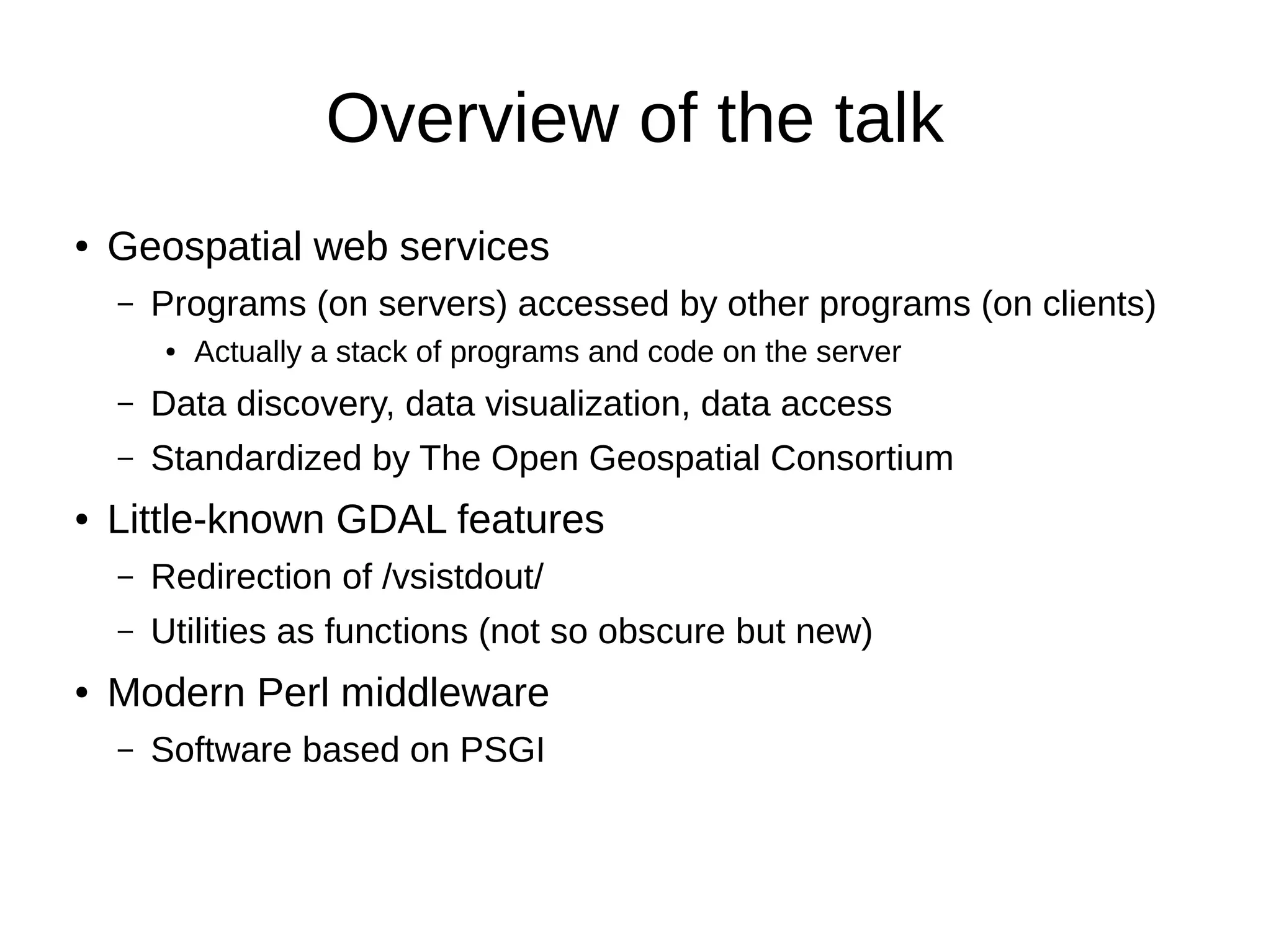
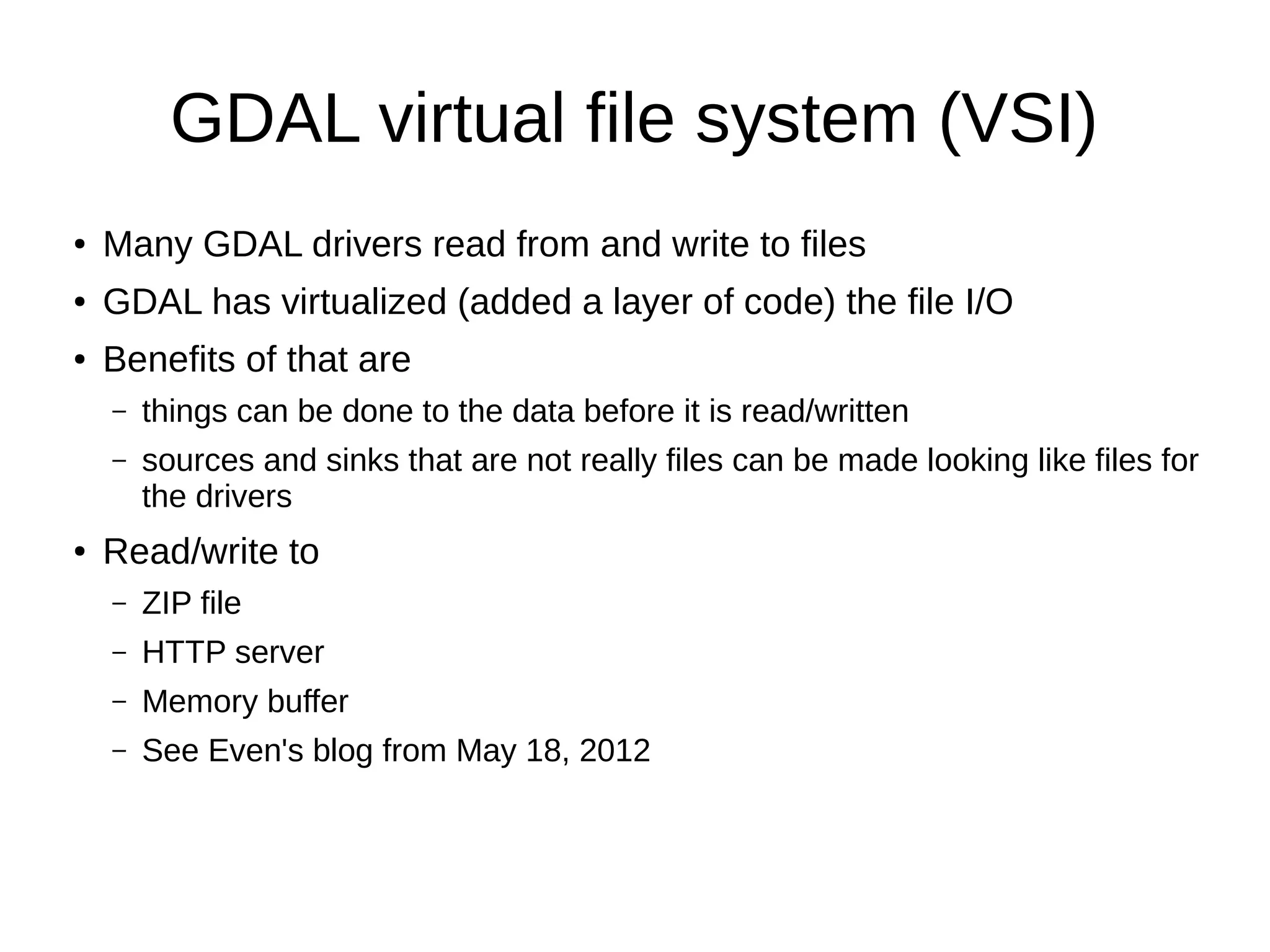
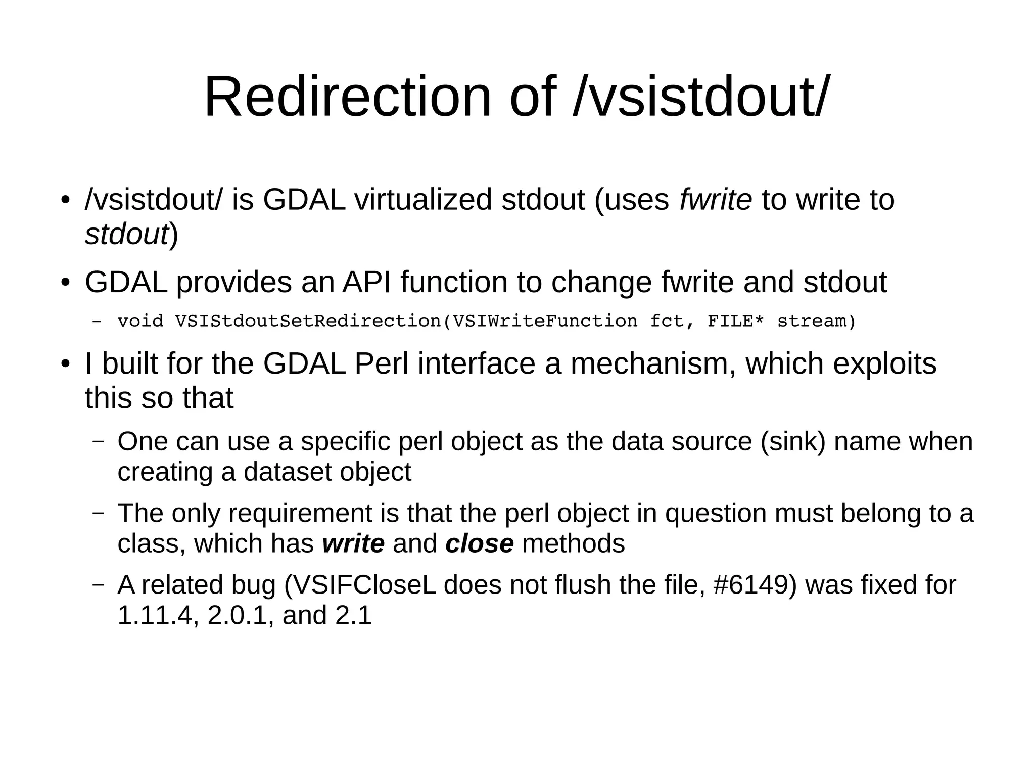
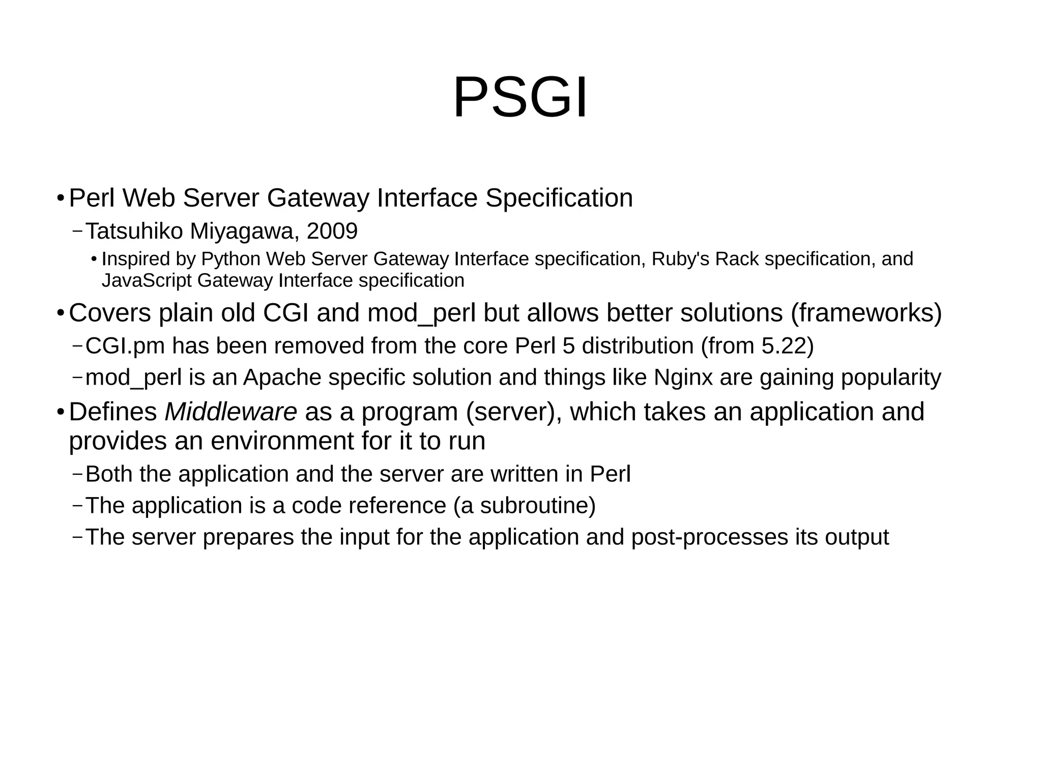
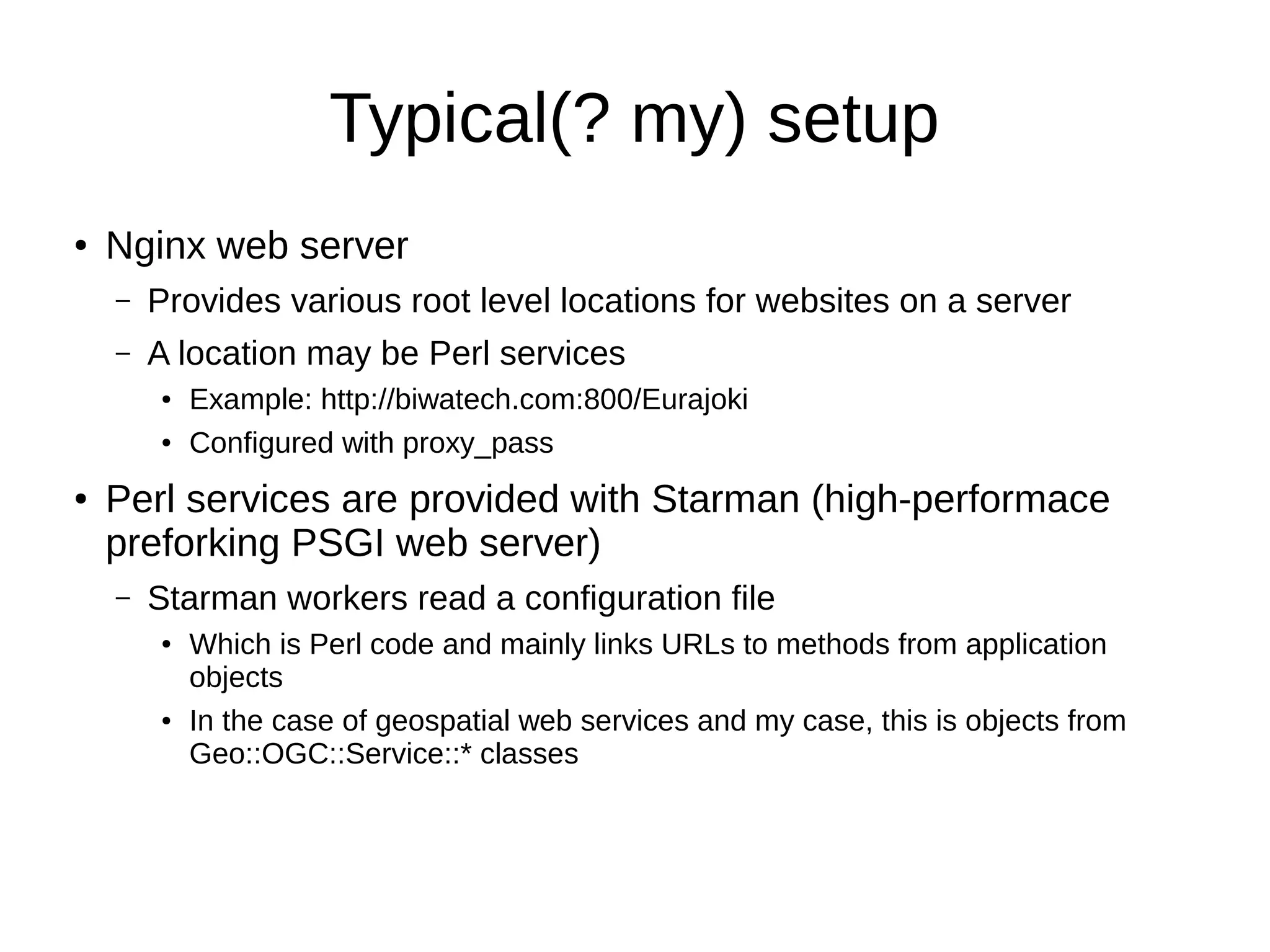
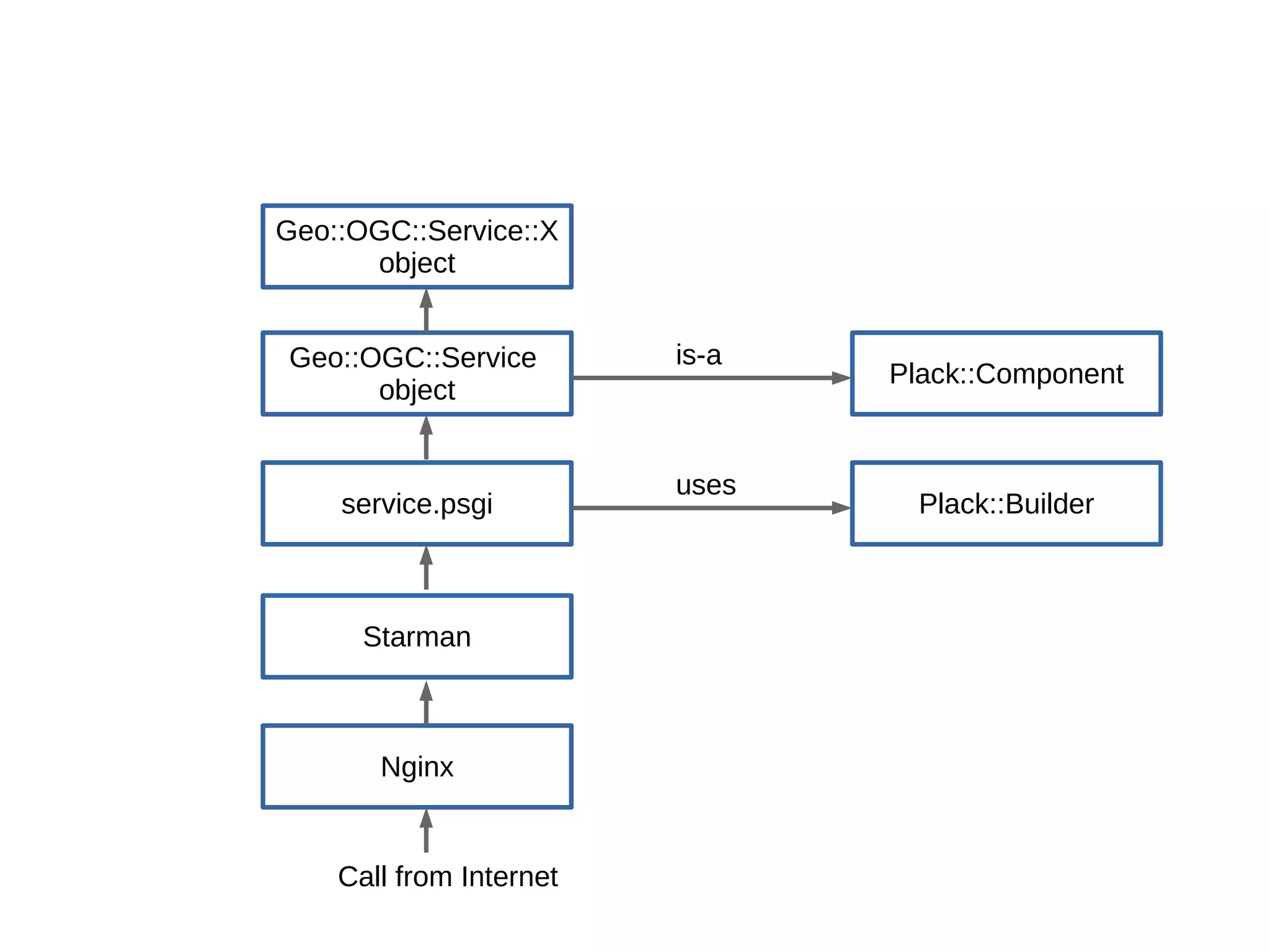
This document summarizes a talk about using GDAL features and modern Perl middleware to build geospatial web services. It discusses using the GDAL virtual file system to read from and write to non-file sources, redirecting GDAL's virtual stdout to output to a Perl object, and using the PSGI specification to build middleware applications with Plack and services with the Geo::OGC framework. Code examples are provided for a WFS service using PostgreSQL and on-the-fly WMTS tile processing.