Download as PDF, PPTX

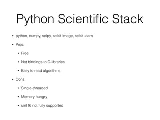


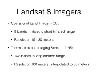


The document discusses the use of the Python scientific stack, particularly for analyzing satellite images from Landsat 8. It covers Landsat 8's specifications, data acquisition processes, and the available imaging capabilities, highlighting both advantages and disadvantages of the Python libraries used. Additionally, it mentions that Landsat 8 data is freely available through the US Geological Survey after registration.