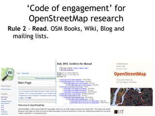
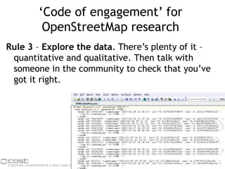
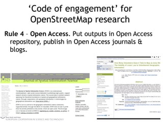
Download to read offline
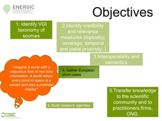
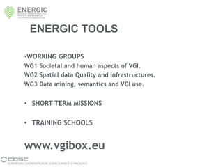
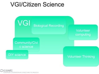

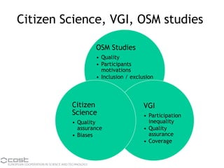
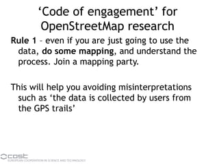

The document outlines the European Commission's ENERGIC project, aimed at exploring VGI (Volunteered Geographic Information) and its relevance, credibility, and integration within scientific communities. It emphasizes the importance of OpenStreetMap (OSM) within the VGI landscape, detailing engagement strategies for researchers to properly interact with and contribute to the OSM community. Key objectives include knowledge transfer, interoperability, and the fostering of research agendas around VGI and citizen science.


![Participatory [Citizen] Science](https://cdn.slidesharecdn.com/ss_thumbnails/haklay-ecsa2016-160519212623-thumbnail.jpg?width=640&height=640&fit=bounds)


