Download as PDF, PPTX
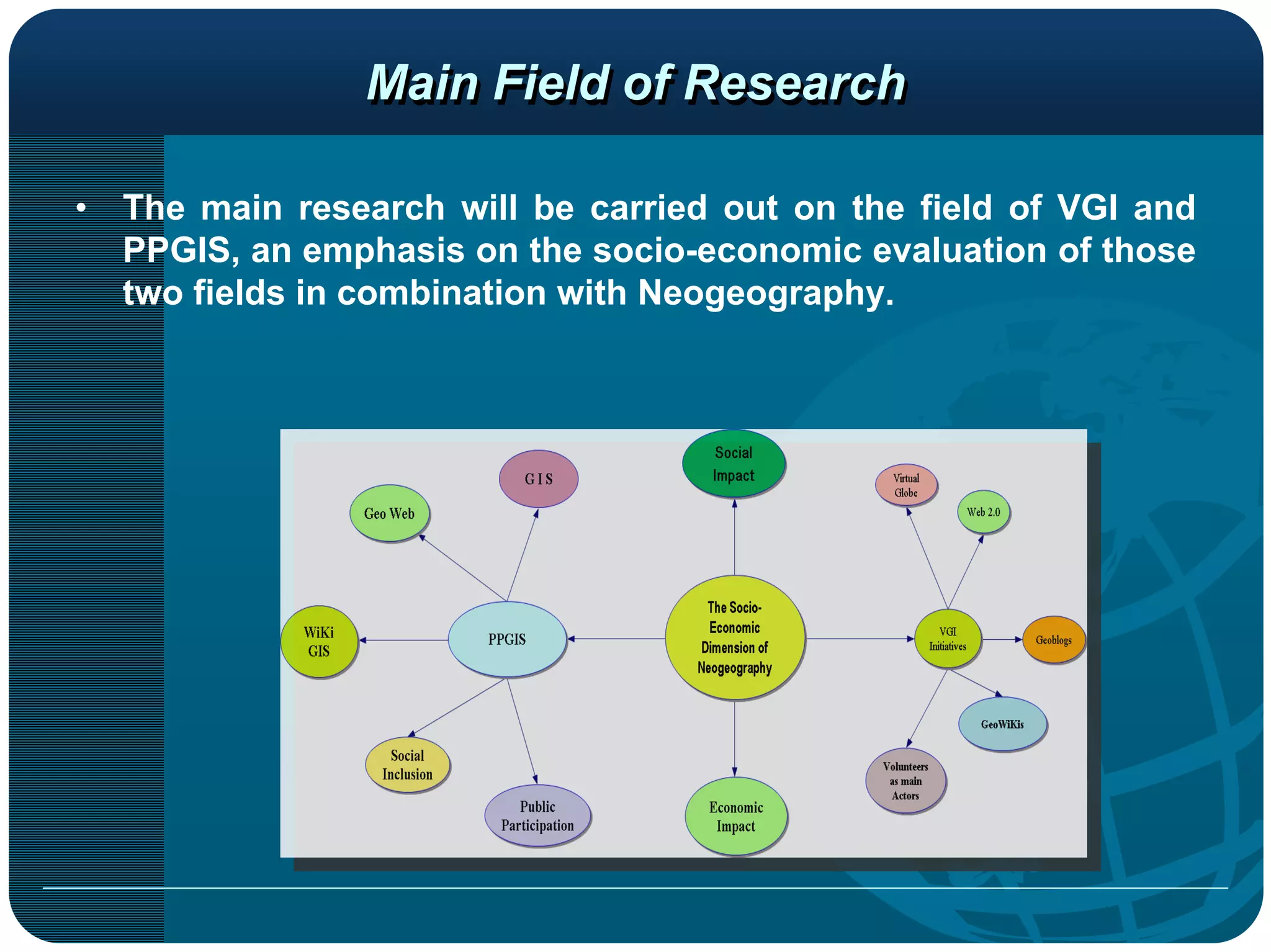
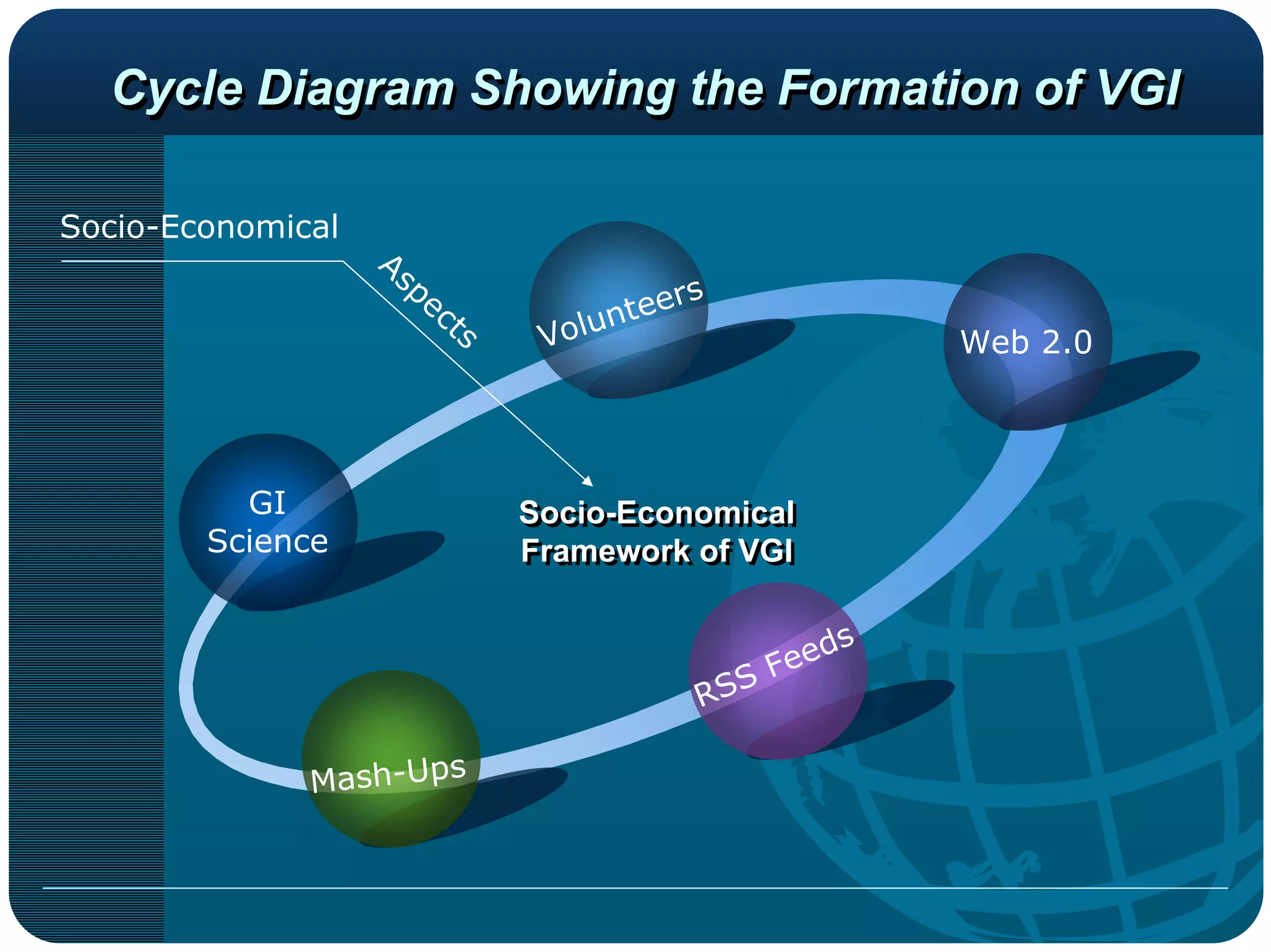


The document discusses a socio-economic evaluation framework for Volunteered Geographic Information (VGI) and Public Participatory Geographic Information Systems (PPGIS) through the lens of neogeography and Web 2.0. It outlines the characteristics, potential benefits, and methodologies for assessing VGI, emphasizing its role in creating user-generated geographic content and its economic implications. The research aims to illustrate how VGI can drive socio-economic advantages, enhance mapping accuracy, and contribute positively to the geospatial data market.