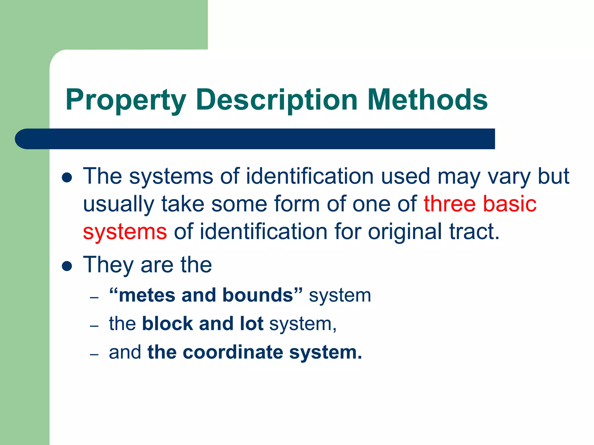
The document discusses three primary methods for legally describing property: metes and bounds, block and lot, and coordinate systems.
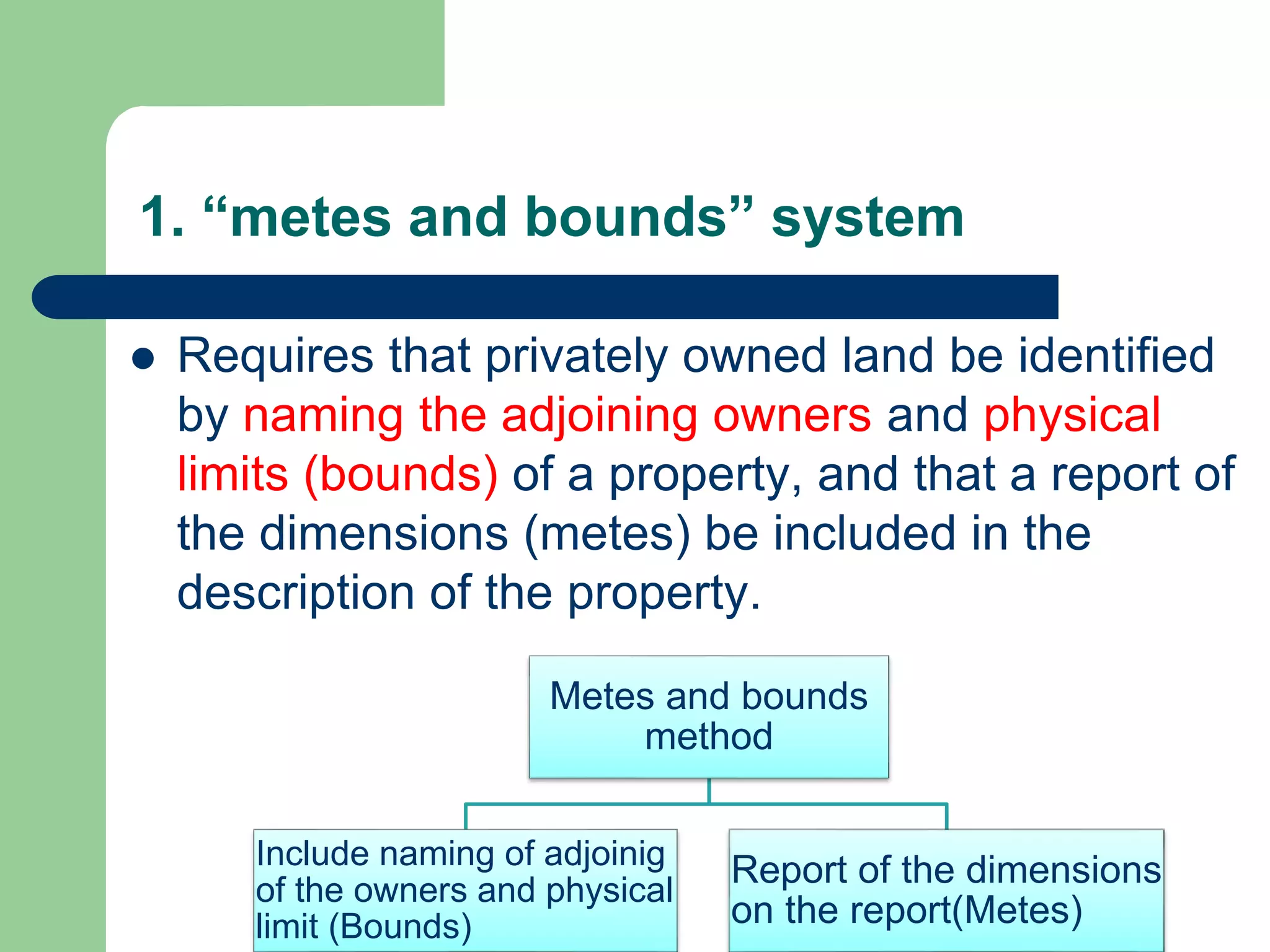
The metes and bounds system describes boundaries by naming adjoining landowners and physical boundaries, and providing dimensions between corners. The block and lot system references recorded subdivision plans that divide larger tracts into smaller lots. The coordinate system identifies property corners using Cartesian coordinates, often in conjunction with another description method.
2. Lecture Objective
After completing this Lecture the students are
expected to
– Identify the methods of property description
– Understand legal property description
2
3. Property Description
The method of marking boundaries most frequently used by humans
consists of marking boundary corners with physical objects, such as
post, rocks, pipes, or iron rods, and marking the lines between the
corners with fences, ditches, roadways, or tree lines.
This is fine for demonstrating to others the physical limits
of a parcel of land.
This is not adequate, however, when the need arises to define or
describe that parcel to others who cannot visit each boundary
corner.
The private ownership of land and the statutes that regulate the
transfer of that ownership require that each and every separate
parcel, public or private, be capable of being uniquely distinguished
from all other parcels in writing.
4. Property Description Methods
The systems of identification used may vary but
usually take some form of one of three basic
systems of identification for original tract.
They are the
– “metes and bounds” system
– the block and lot system,
– and the coordinate system.
5. 1. “metes and bounds” system
Requires that privately owned land be identified
by naming the adjoining owners and physical
limits (bounds) of a property, and that a report of
the dimensions (metes) be included in the
description of the property.
Metes and bounds
method
Include naming of adjoinig
of the owners and physical
limit (Bounds)
Report of the dimensions
on the report(Metes)
6. A complete boundary description using the metes and bounds system
will incorporate the following:
– A commencing point or starting that is well known, easily found,
permanent, recoverable, recognizable, and preferably public in
origin.
– The purpose of the commencing point is to clarify the location of
the parcel in relationship to some universally recognized landmark.
– A point-of-beginning that is a part of the property being described.
The purpose of the point-of-beginning is to emphasize that the
limits of the parcel itself are to follow in the dialogue.
– The point of beginning is used purely for descriptive purposes and
is not the point where a Land Surveyor “begins” a survey.
7. A report of the physical objects (monuments) that mark the
location of ends, and sometimes areas, along each line.
A report of the contiguous owners along each line or land
record identification of the contiguous parcels.
A direction, usually a bearing, for each line.
In some cases, the angle formed at a corner may be reported
in lieu of a bearing.
In the cases of curved or meandering boundaries, the
appropriate words necessary to describe the configuration of
the line are used.
A distance between each corner (metes).
The area of the parcel.
Reference to the particular plat or map of survey that forms the
basis for the description
8. The block and lot system
Used where large tracts have been subdivided into
several smaller lots.
In these cases, reference to the lot and/or block
numbers or letters shown on a “subdivision plan” is
the means by which a land parcel is identified.
The subdivision plan is a plan, usually recorded, that
specifies the location and dimensions of several
parcels of land.
A subdivision plan may divide a tract of land that was
originally defined by metes and bounds, or another
subdivision plat.
9. Example of block and lot description
lot 34 of Tract 12314 as per map recorded in book 232, pages
23 and 24 of maps, in the office of the county recorder of
……………………
lot 9 except the North twelve (12) feet thereof, and the East
twenty-six (26) feet of lot 10, ………………………. [Parts of
two lots are included in the parcel described.]
That portion of lot 306 of Tract 4178 in the ………………….,
as per Map recorded in Book 75, pages 30 to 32 inclusive of
maps in the office of the County Recorder of said County,
lying Southeasterly of a line extending Southwesterly at right
angles ~om the Northeasterly line of said lot, from a point in
said Northeasterly line distant Southeasterly twenty-three and
seventy-five hundredths (23.75) feet from the most Northerly
corner of said lot.
10. Coordinate method
A coordinate description of comers may be
used alone, but is usually prepared in
conjunction with an alternative method.
11. An example of a description by coordinates of
a parcel in California follows.
By Rectangular System In the early days (from 1785) of the United
States, provisions were made to subdivide territorial lands
into townships and sections.
thereof, along lines running with the cardinal directions of north-
south, east-west.
Later, as additional lands were added to the
public domain, such lands were subdivided in a similar manner.
However, these methods of subdividing lands do
not apply in the eastern seaboard (original 13 states) and in
Hawaii, Kentucky, Tennessee, Texas, and West Virginia.
For laws regulating the subdivision of public lands and the
recommended surveying methods, check the instruction manual
published by the Bureau of Land Management, Washington, D.C.