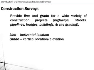
- Surveying involves making field measurements on or near the Earth's surface to determine relative positions of points or establish points. It includes preliminary surveys to collect data, layout surveys to define proposed construction locations, and construction surveys to provide line and grade during construction.
- Control surveys establish horizontal and vertical reference points and lines that preliminary and construction surveys are referenced to. Horizontal control may be tied to grid monuments, property lines, or baselines while vertical control uses benchmark elevations from leveling surveys.
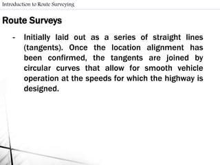
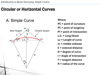
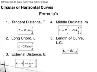
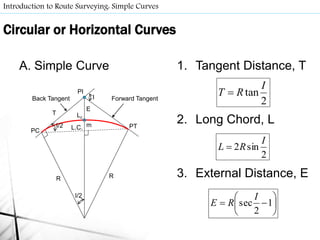
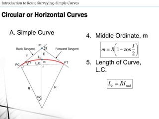
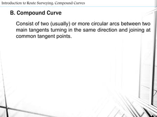
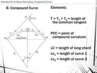
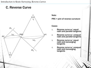
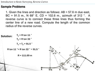
- Route surveys initially layout highways as a series of tangents joined by circular curves. Compound curves consist of two or more joining circular arcs between main tangents turning in the same direction. Reverse curves connect lines through


![Geotechnical Engineering-I [Lec #9: Atterberg limits]](https://cdn.slidesharecdn.com/ss_thumbnails/9-180923180923-thumbnail.jpg?width=640&height=640&fit=bounds)


