QUATER-1-PE-HEALTH-LC2- this is just a sample of unpacked lesson
Worksheet for students
1. Where on Earth Am I?
Satellites improve life
1st
part
Warming-up: How does GPS work?
Activity 1: watch the video at edpuzzle and answer the questions.
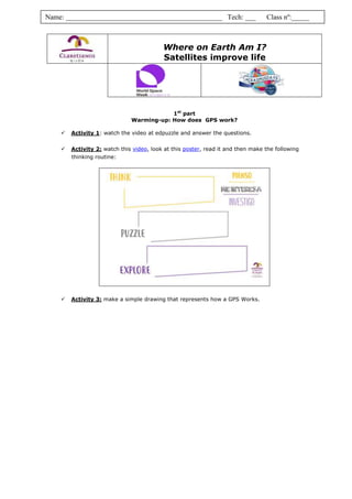
Activity 2: watch this video, look at this poster, read it and then make the following
thinking routine:
Activity 3: make a simple drawing that represents how a GPS Works.
Name: ____________________________________________ Tech: ___ Class nº:_____
2. 2nd part
Lost in No-man’s land
Materials:
Topographical map of Europe, including 4 satellites already positioned.
Compasses (drawing tool)
Pencil
Ruler (at least 20 cm)
Calculator
Activity 4: On the map, write down the capitals of the European countries. If you don’t
remember…look it up!
Activity 5: What is the scale of the map?
Identify on your map the scale (it is a line that contains a number with units above…) and measure
the length of the line.
The scale of map is ______ km real distance are ______
mm in the map.
Activity 6: How far away are the satellites from me?
Hints and steps to calculate how far de satellites are:
In the table below, time is given in milliseconds (1ms=1000s). Don’t forget to transform
data into seconds (3rd column ).
Radio signals are transmitted with the speed of light. Its value is c=3.108
m/s or c=3.105
km/s
To calculate the real distance between the satellites and you we use the formula in
the box. (fill in the 4th column )
Satellite
Signal
travel time
(ms)
Signal travel
time (s)
Satellite distance
from me (km)
Satellite distance
on the map (mm)
Satellite
distance on the
map (cm)
Satellite 1 6,49
Satellite 2 12,68
Satellite 3 4,64
Satellite 4 11,87
You were abducted by aliens and taken on a ride across the solar system. On your return, you were
dropped off somewhere in Europe. You have no idea where you are, but luckily you have your GPS
receiver with you that should guide you to a place from where you can receive help or return home. But
... oh no ... the receiver is broken. Instead of showing your location on Earth, it only displays the signal
travel time of four receiving satellite signals. You will have to do it all by yourself.
Are you ready!!!!???
Distance=speed of light x time d= c x t
3. Activity 7: What is your location?
7.1. Using the map scale, calculate the distance between the satellites and you but in the map. Fill
in the last column in the table above. I give you the calculation to do:
7.2. Transform into cm and fill the last column. You can approximate 1
decimal. Take your compasses and draw and arch from satellite 1.. The
measure of the arch for satellite 1 is the length you have calculated before (7.1)
7.3. Do the same for the others satellites.
Activity 8: Here you are!
8.1. Your position must be somewhere on the area determined by the arcs drawn by the
compasses. Give colour to that area on the map.
8.2. Which are the possible countries of your location? _________________________________
8.3. Estimate the centre of the area between the four arcs, draw a spot or a person
on the map where the centre is and… In which country aliens dropped you off??
________________________
4. ACTIVITIES SCHEDULE
Activity Time invested Time expected I got it? Comments
Explanation, read the
worksheet by yourself.
Edpuzzle, watch the video
again and analyse the poster
and do activities 1, 2 and 3.
Consult bibliography to write
the capitals of the European
countries and identify the scale
(activities 4 and 5)
Make calculations to fill in the
table (activity 6 and 7.1)
Draw the arcs on the map and
point out the area (activities
7.2, 7.3, 8.1)
The country where you are!
(activities 8.2 and 8.3)