![GPS: Global Positioning System ,[object Object],[object Object],[object Object],[object Object],[object Object]](data:image/gif;base64,R0lGODlhAQABAIAAAAAAAP///yH5BAEAAAAALAAAAAABAAEAAAIBRAA7)
Recommended
More Related Content
Viewers also liked
Similar to Gps
Similar to Gps (18)
Recently uploaded
Recently uploaded (20)
Gps
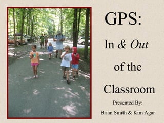
- 1. GPS: In & Out of the Classroom Presented By: Brian Smith & Kim Agar
- 6. Finding the Waypoint… … the best part!
- 11. Enjoy!!