
Recommended
More Related Content
What's hot
What's hot (20)
Similar to MARINE SURVEYING
Similar to MARINE SURVEYING (20)
Recently uploaded
Recently uploaded (19)
MARINE SURVEYING
- 2. OUR COMPANY OUR COMPANY SURVEY EXPERIENCE PROGRESSIVE,INNOTATIVE EARTHWORKS ABOUT US Mihaniki Meletitiki G.P was established in 2006, in the city of Thessaloniki-Greece,by experienced engineers expertised in the elaboration of special studies on multiple fields, aiming to provide con- sistent, responsible and reliable technical solutions and high quality services in Greece and abroad. Providing s ervices of elaboration and control of project management and supervision of prIvate and public projects. Offering consulting engineering services on a big range of fields, such as regional, urban, architec- tural, marine, electrical, energy, structural, transpor- tation, hydraulics, surveying, environmental projects, projects of organization and operational research. Mihaniki Meletitiki G.P services consist of: • Road construction studies • Environmental projects and programs evaluation • Technical support of projects and management ser- vices • Preparation of large infrastructure project • Environmental Impact Studies • Organization of the environmental information man- agement • Project management of public and private sectors clients • Acquisition and permitting of mobile base station studies • Special surveying (marine, mine surveying)
- 3. OUR EQUIPMENT Our company is fully equipped with its own high quality equipemnt of the largest firms in the globe. The long term collaboration with these companies ensures the unsurpassed expertise and support in each kind of project that our company is assigned. Emphasizing in every project’s uniqueness, we create sep- arate scientific and technical teams to conclude with abso- lute professionalism the tasks assigned to us. Among other we own survey equipment such as Topcon MS05 total sta- tions, the latest Laser Scanning equipment of the company FARO as well as Laser scanning equipement of Riegl, Top- con Digital Level equipment and Micro moving software. “Providing the manpower, the equipment and the precision to complete your project on time” High-tech software captures the raw data from a survey and uses that information to quickly and accurately design site plans, a Computer-Aided Design (CAD) model, interactive 3-D mod- els, and other planning operations. What used to take months to produce can now be done quickly and with more accuracy.
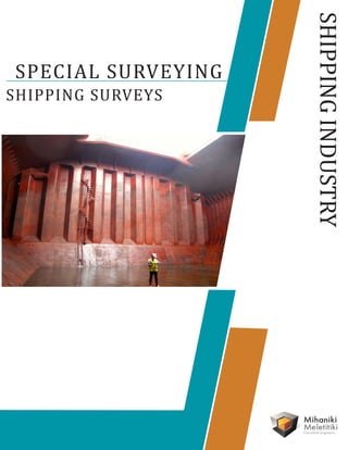
- 4. SHIPPING INDUSTRY 3D LASER SCANNING The use of Laser scanning as an answer for complex marine geometry as-builts. Capturing 3D measurements, even in dangerous environ- ments, to model the environment, through data atapointintimewhichcanmodelled,queriedor archived. Having a proper 3D documentantion of commercial ship can save time and money. • Detailed logging of all types of vessels, mechanical parts and equipment for geometry inspection ( e.g propeller inspection etc) and permits. • Shipyard scanning, for a major opportunity of planning the project, designing the refit and procuring materials ready to begin work as soon as the vessel reaches the repair dock • Surveying of the solid or liquid cargo • Study on load damage from mechanical parts, iron works, weld distortion • Cargo vessel licenses. Capacity analysis and studies of transport insurance • Hull sections for modifications or repair assessment from shipwrights • Use for renovation and repair as well as major modification plans (fins,doors etc) • Board damage deformation analysis report • Models both for the installation of parts and their assembly
- 5. SHAFT PREALIGNMENT & ALIGNMENT SHIPPING INDUSTRY Establishmentof networks basedonthehullcoordinate system so that with the use of the High accuracy Robotic Total Stations the crucial axial lines of the ship can be examined and verified. • Stern tube casting and bearing • Rudder stock axial line determination The stern tube is a sensitive part of the ship where the sea water can easily seep inside. Stern tube bearing data collection can offer intermediate bearing verification. High precision surveying with such modern equipment ensures very fast deviation cal- culation and also undoubted accurate definition of misalignment. Real times calcula- tions provide the oppurtinity to compare with existing design plans. Last but not least surveying is fully apllicable on the construction dock, day and night without delays.
- 6. SHIPPING INDUSTRY ΟΤΗΕR SERVICES The waterline is the line where the hull of a ship meets the sur- face of the water. Specifically, it is also the name of a special mark- ing, also known as an international load line, Plimsoll line and water line (positioned amidships), that indicates the draft of the ship and the legal limit to which a ship may be loaded for specif- ic water types and temperatures in order to safely maintain buoy- ancy, Based on the measurements permorfed on the keel and on the hull determine and set or verify the above mentined lines. Waterline/Plimsoll line verification ship mooring Dry docks are used for the construction, maintenance, and repair of ships, boats, and other watercraft. Horizontal and elevation determination is made, so to minimizethestressonthehullandavoid blockingseaopeningsandbottomplugs.