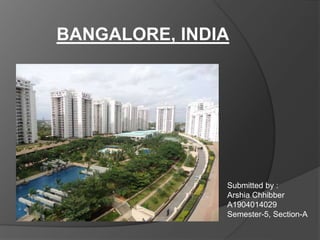
2. INTRODUCTION
Bangalore is the capital of the
Indian state of Karnataka.
Located in southern India on
the Deccan Plateau, at a height of
over 900 m (3,000 ft) above sea
level.
The urban area is a total of 709
square kilometers.
It is a megacity with a
population of 84,43,675.
It is a radial city.
3. With an estimated population of 8.5 million in 2011,[80] Bangalore is the fifth
most populous city in India and the 18th most populous city in the
world.[81] Bangalore was the fastest-growing Indian metropolis after New
Delhi between 1991 and 2001, with a growth rate of 38% during the decade
Cens
us
Pop. %±
1941 406,760 —
1951 778,977 91.5%
1961 1,207,000 54.9%
1971 1,654,000 37.0%
1981 2,922,000 76.7%
1991 4,130,000 41.3%
2001 5,101,000 23.5%
2011 8,425,970 65.2%
Population Growth
Demographics and economic status of Banglaore
o With an economic growth of 10.3%, Bangalore is the second fastest-growing major
metropolis in India,[139] and is also the country's fourth largest fast-moving consumer
goods (FMCG) market.
5. HISTORY
City planning and
infrastructure
The town was divided into
localities with each area
intended for different artisans
and tradesman.
Markets within the town were
divided by the nature of the
provisions supplied and
services rendered
The town within the fort had
two main streets – Chikpete
street and Dodpete street.
a) Chikpete street ran east-
west
b) Dodpete street ran north-
south
The intersection formed
the heart of the town –
Dodpete square.
Towers were built to
demarcate the boundaries
of Bangalore.
9. While MG Road Commercial
Street and Brigade Road became
important shopping, recreation and
corporate areas.
Consequently, traffic increased
exponentially, especially on MG
Road, which forms the main artery for
the city's east-west traffic.
10. ROAD NETWORKS OF BANGALORE
Major entrance roads to Bangalore
The main roads of Bangalore
coming into the city include
• Bellary Road in the north,
• Tumkur Road
•
• Mysore Road in the west,
• Kanakpura Road
,Bannerghatta Road and
and Hosur Road in the
south and
• Airport Road and Old
Madras Road in the east
12. The Outer Ring
Road was initially
constructed to
ease truck
congestion in the
city.
However the
growth of suburbs
reduced the
positive impact of
the ring road
. The Peripheral
Ring Road,
expected to be
completed in
2007, is designed
to be concentric to
the Outer Ring
Road and covers
108.9 km.
Ring roads of Bangalore
15. 1st Belt: The core area
consisting of the Historic Petta,
The Administrative Centre and the
Central Business District.
2nd Belt: Peri- Central area with
older planned residential area
surrounding the core area.
3rd Belt: Recent Extentions
(2003) of the city flanking both
sides of the outer ring road.
4th Belt: New layouts with some
vacant plots and agricultural land.
5th Belt: Green belt and
agricultural area in the city’s
outskirts including small villages.
Land use In Bangalore
The five concentric bel