Downloaded 35 times
![“ What on (Google) Earth is that ?” A quick update Alan Parkinson Geographical Association CENT, Rotherham – 9 th Feb 2009 http://earth.google.com http://googlearthusersguide.blogspot.com [email_address]](https://image.slidesharecdn.com/what-on-google-earth-is-that-1233931359846396-3/85/What-on-Google-Earth-is-that-1-320.jpg)
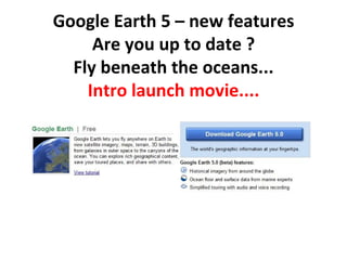
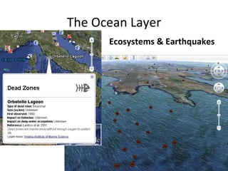
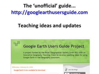
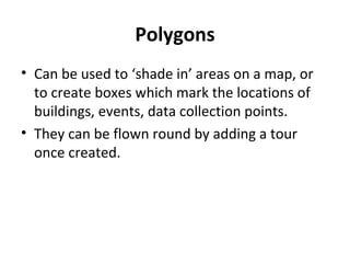
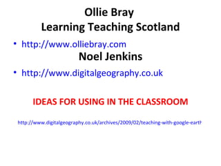
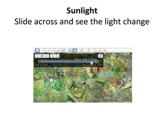
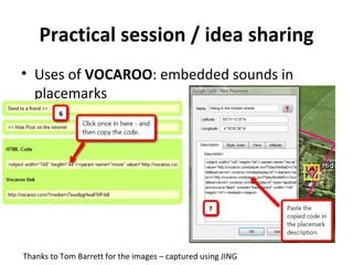
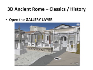

The document presents updates on Google Earth 5, highlighting new features such as underwater exploration, path flying, and polygon creation for mapping. It includes resources for educators, with links to guides, teaching ideas, and community networking for geographers. Additionally, it mentions ways to incorporate multimedia in placemarks and showcases various practical applications in the classroom.


