Download to read offline

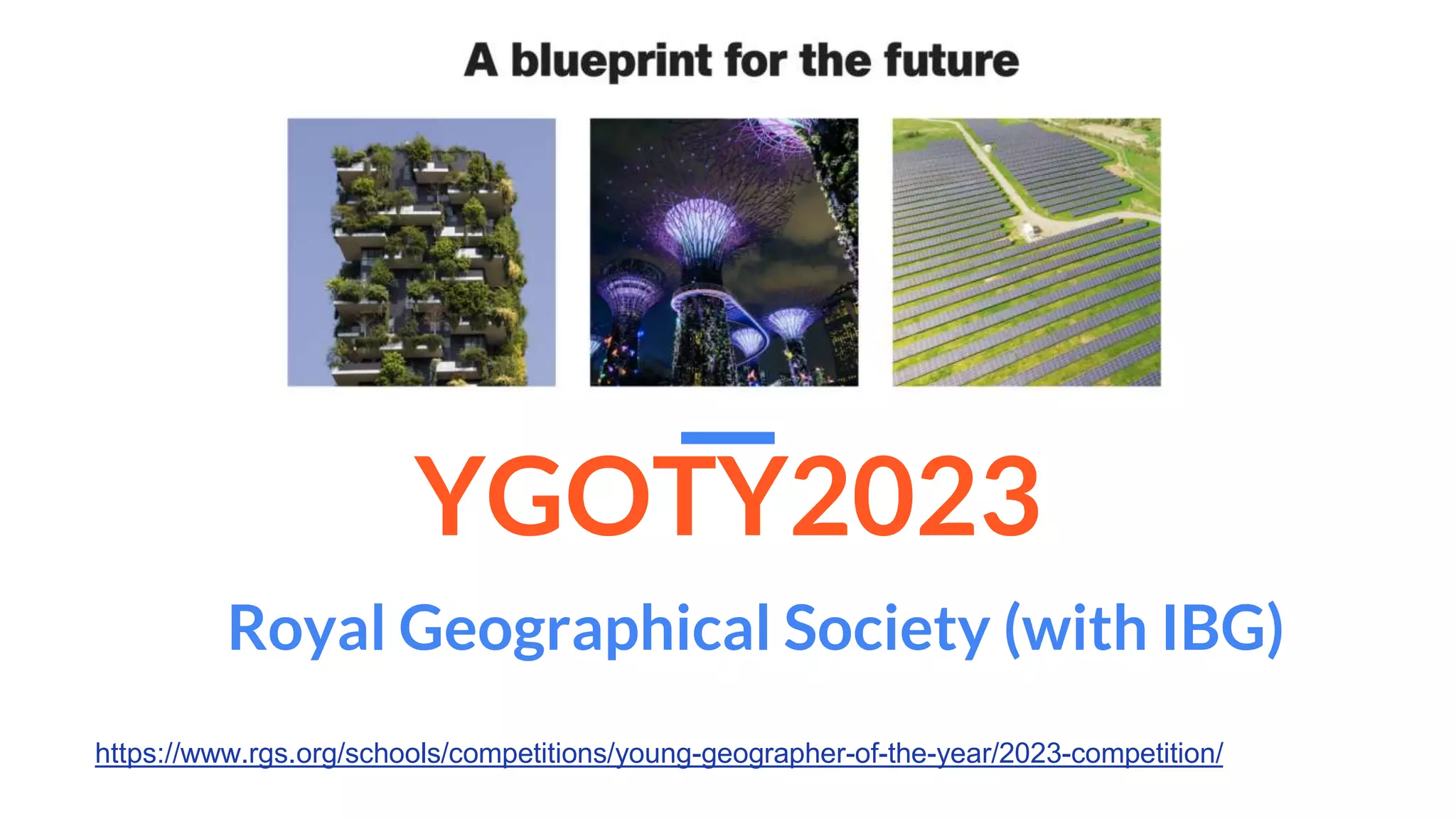
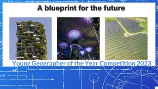
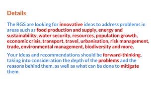
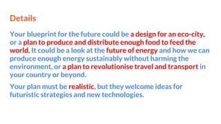
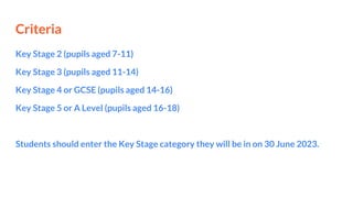
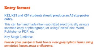
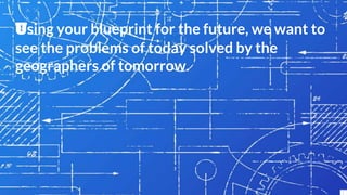
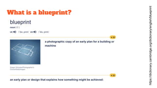
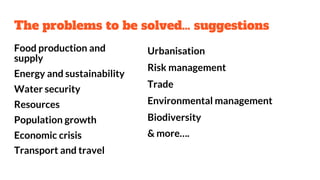
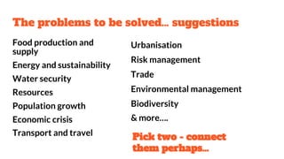
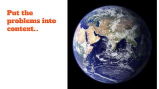
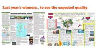
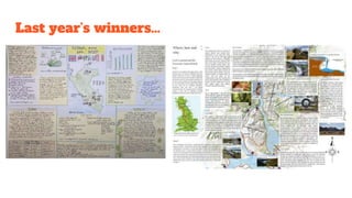
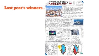
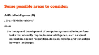


The document provides information about the Royal Geographical Society's Young Geographer of the Year Competition 2023. Students are asked to create a blueprint or plan addressing two geographical issues related to problems such as food/energy sustainability, water security, urbanization, and more as they will exist in 2050. Entries can be posters for key stages 2-4 or other formats for key stage 5. Posters should include annotated maps, images and diagrams to explain the problems and proposed solutions. Last year's winning entries are provided as examples of quality. Suggested issues, formats, and resources are provided to help students develop innovative and realistic blueprints for the future.


![The [new] Geography Curriculum for Leeds](https://cdn.slidesharecdn.com/ss_thumbnails/thenewgeographycurriculumforleeds-120130134619-phpapp01-thumbnail.jpg?width=640&height=640&fit=bounds)