Downloaded 15 times

![Disclaimer
The views and opinions expressed in this publication are those of the authors and do not necessarily reflect those
of the Australian Government or the Minister for the Environment.
The Department of the Environment acknowledges the traditional owners of country throughout Australia and
their continuing connection to land, sea and community. We pay our respects to them and their cultures and to
their elders both past and present
© Copyright Commonwealth of Australia, 2015
Wetlands Australia National Wetlands Update February 2015 - Issue No 26 is licensed by the Commonwealth of
Australia for use under a Creative Commons By Attribution 3.0 Australia licence with the exception of the
Coat of Arms of the Commonwealth of Australia, the logo of the agency responsible for publishing the report,
content supplied by third parties, and any images depicting people. For licence conditions see:
http://creativecommons.org/licenses/by/3.0/au
This report should be attributed as ‘Wetlands Australia, National Wetlands Update February 2015 — Issue No 26,
Commonwealth of Australia 2015’
The Commonwealth of Australia has made all reasonable efforts to identify content supplied by third parties
using the following format ‘© Copyright, [name of third party] ’.
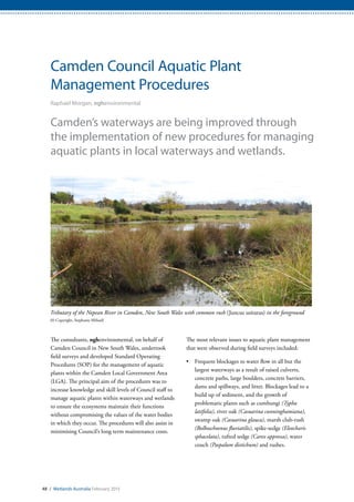
Cover images
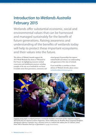
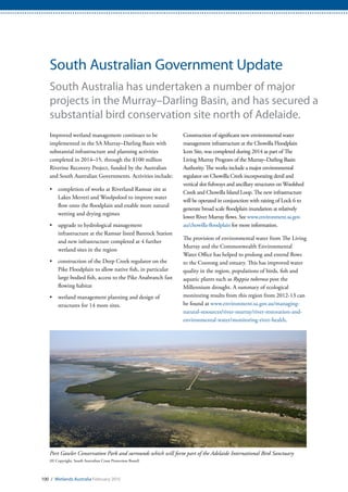
Front cover: Large numbers of waterbirds, including Pelicans (Pelecanus conspicillatus), utilise the Coorong and
Lakes Alexandrina and Albert Ramsar Site at the mouth of the Murray River in South Australia (© Copyright, John Baker)
Back cover: Lake Clifton, part of the Peel Yalgorup System Ramsar site in Western Australia, provides a range of
ecosystem services to the local community (© Copyright, Nerida Sloane)
ii / Wetlands Australia February 2015](https://image.slidesharecdn.com/wetlands-150202220028-conversion-gate02/85/Wetlands-2-320.jpg)
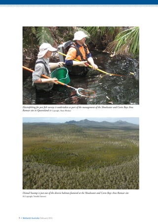
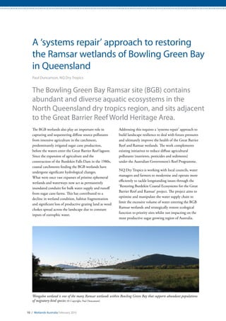


The Shoalwater and Corio Bays Area Ramsar site in Queensland is a unique wetland that covers both marine and freshwater habitats. It provides important habitat for many species, including dugongs. Defence and the Fitzroy Basin Association work collaboratively to manage threats to the site, such as weeds, feral pigs, aquatic pests and marine debris. Through joint programs, they have made progress in improving wetland health by controlling invasive species and degradation. Ongoing vigilance is needed to protect this fragile Ramsar wetland for the future.


![Ens 275 tv1 lec dela cruz, bmn - ramsar [autosaved]](https://cdn.slidesharecdn.com/ss_thumbnails/ens275-tv1lecdelacruzbmnramsarautosaved-200423173530-thumbnail.jpg?width=640&height=640&fit=bounds)


