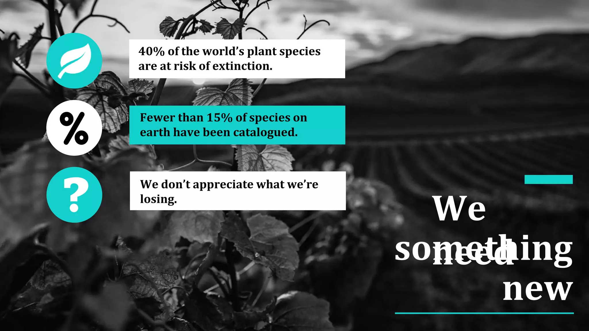
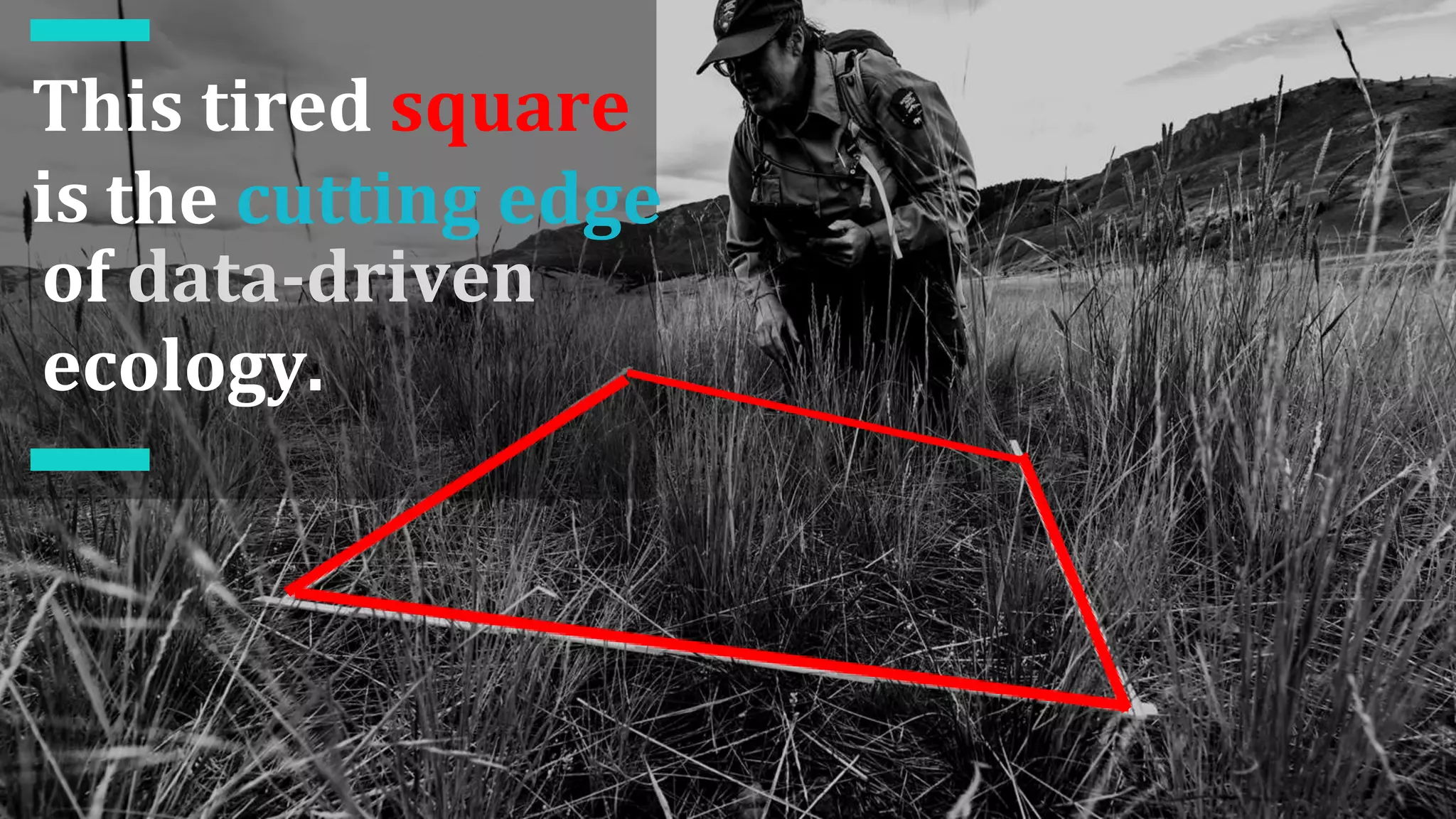
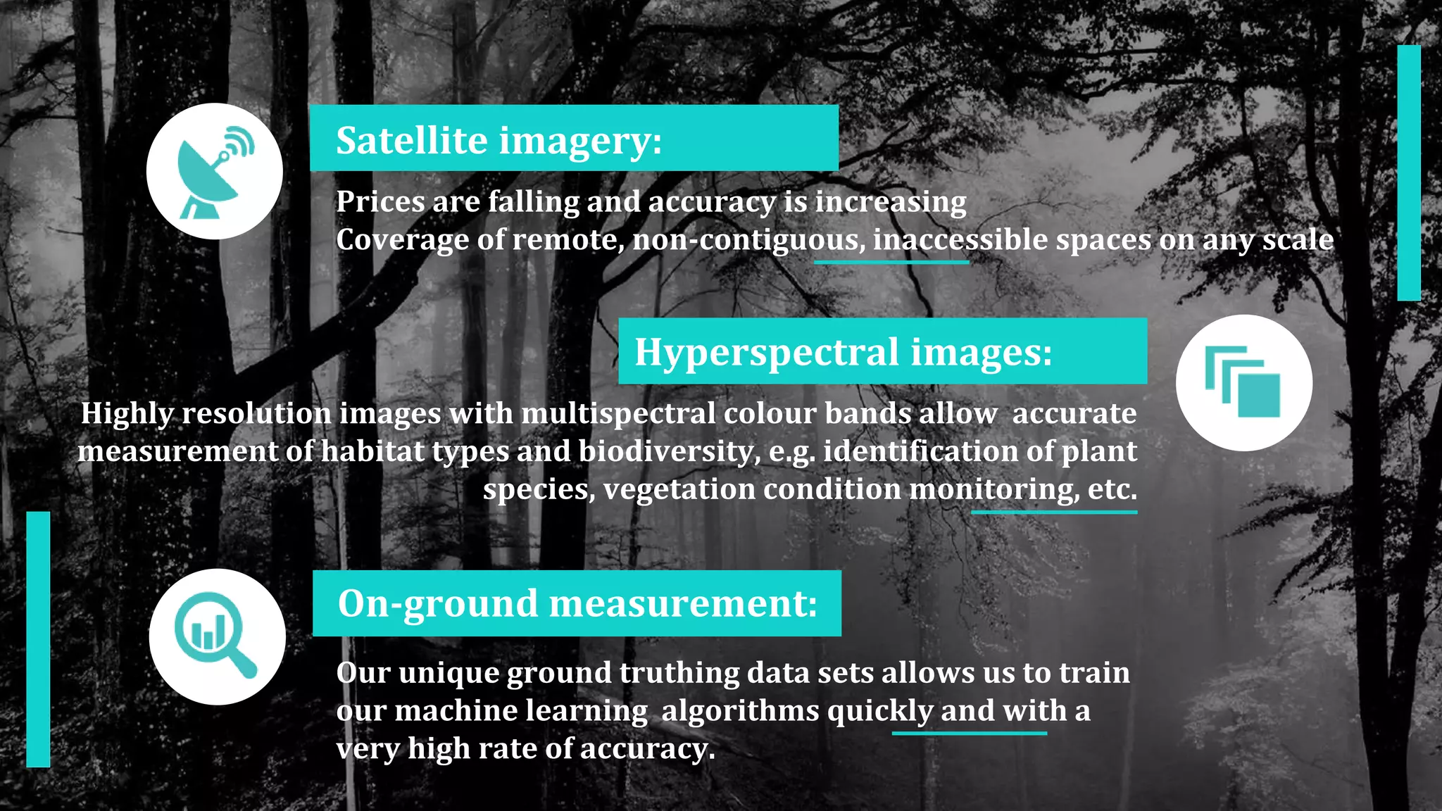
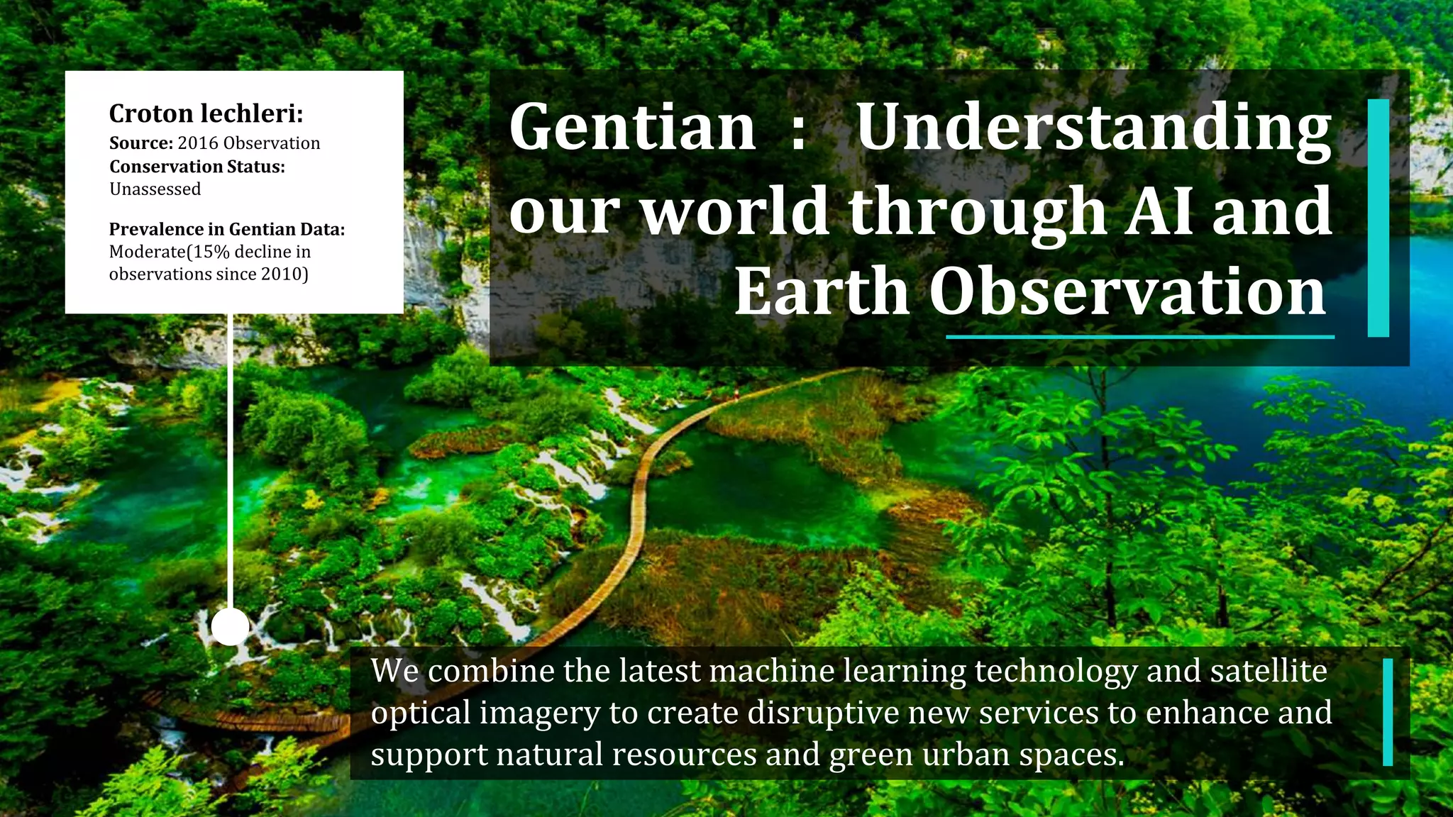
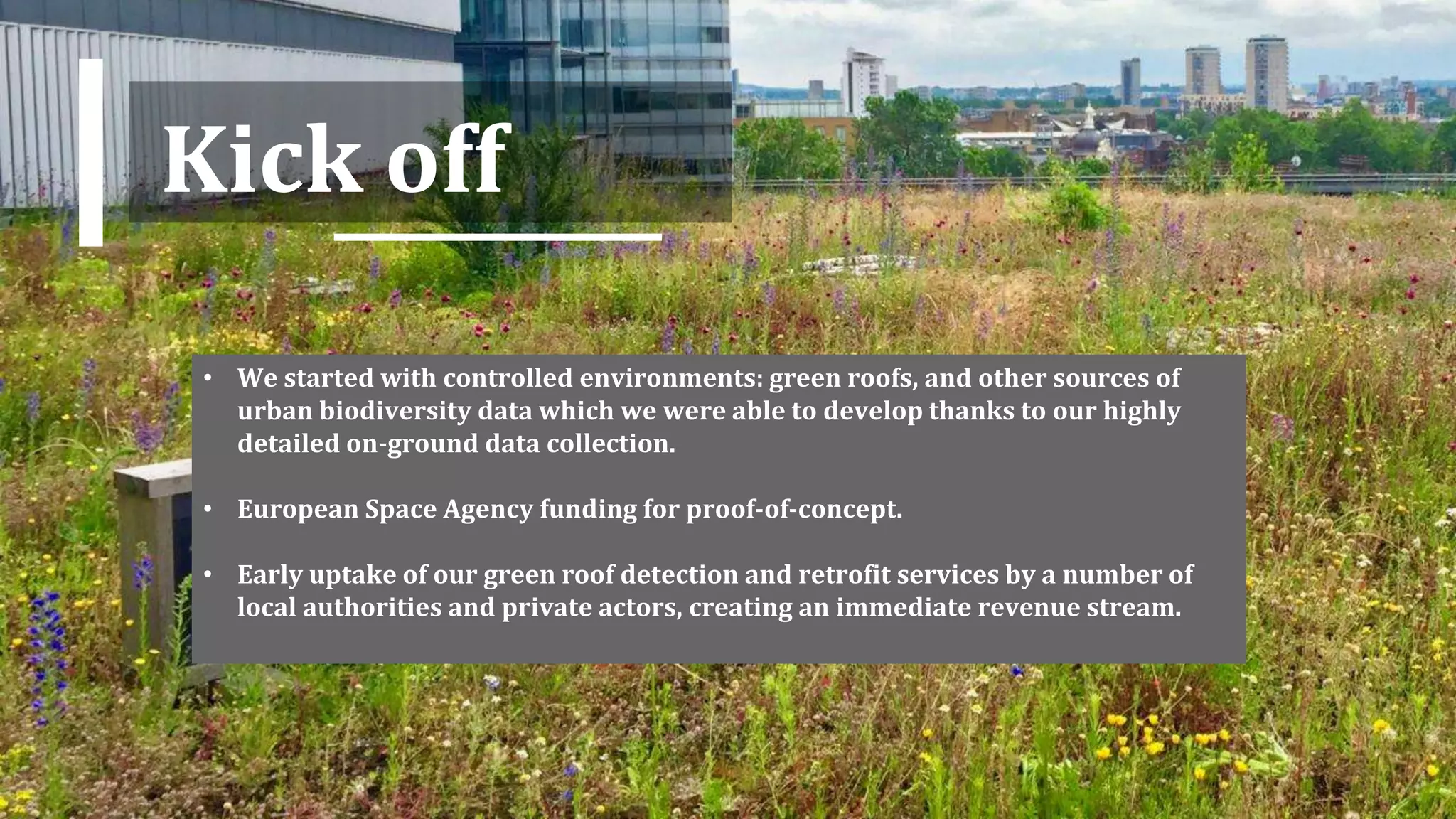
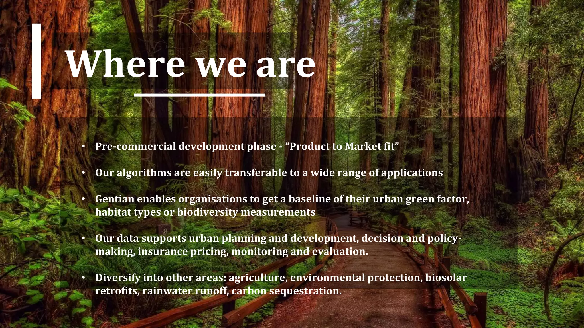
Gentian uses the latest machine learning and satellite imagery to map and monitor biodiversity and urban green spaces. Their unique ground truth data allows highly accurate training of algorithms. Their services provide baseline measurements and support decision making for organizations. Their goal is to become the leading provider of GIS mapping for biodiversity and vegetation condition detection, building a comprehensive dataset on environmental issues.