Download to read offline
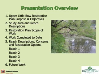
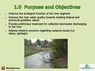
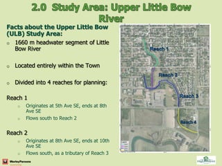
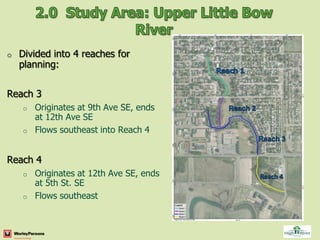

The document outlines a restoration plan for the Upper Little Bow River in four reaches within the Town of High River, Alberta. Key issues include odour, sedimentation, and garbage. The plan involves assessing options to improve water quality and ecological function through stormwater treatment, sediment and debris removal, and channel modifications. Public consultation will help finalize designs to be implemented in phases while meeting regulatory requirements.


![1 ksa%20conference%202010%20 %20 mary%20kuo[1]](https://cdn.slidesharecdn.com/ss_thumbnails/1ksa20conference20201020-20mary20kuo1-100515121206-phpapp02-thumbnail.jpg?width=640&height=640&fit=bounds)


