Download as PDF, PPTX
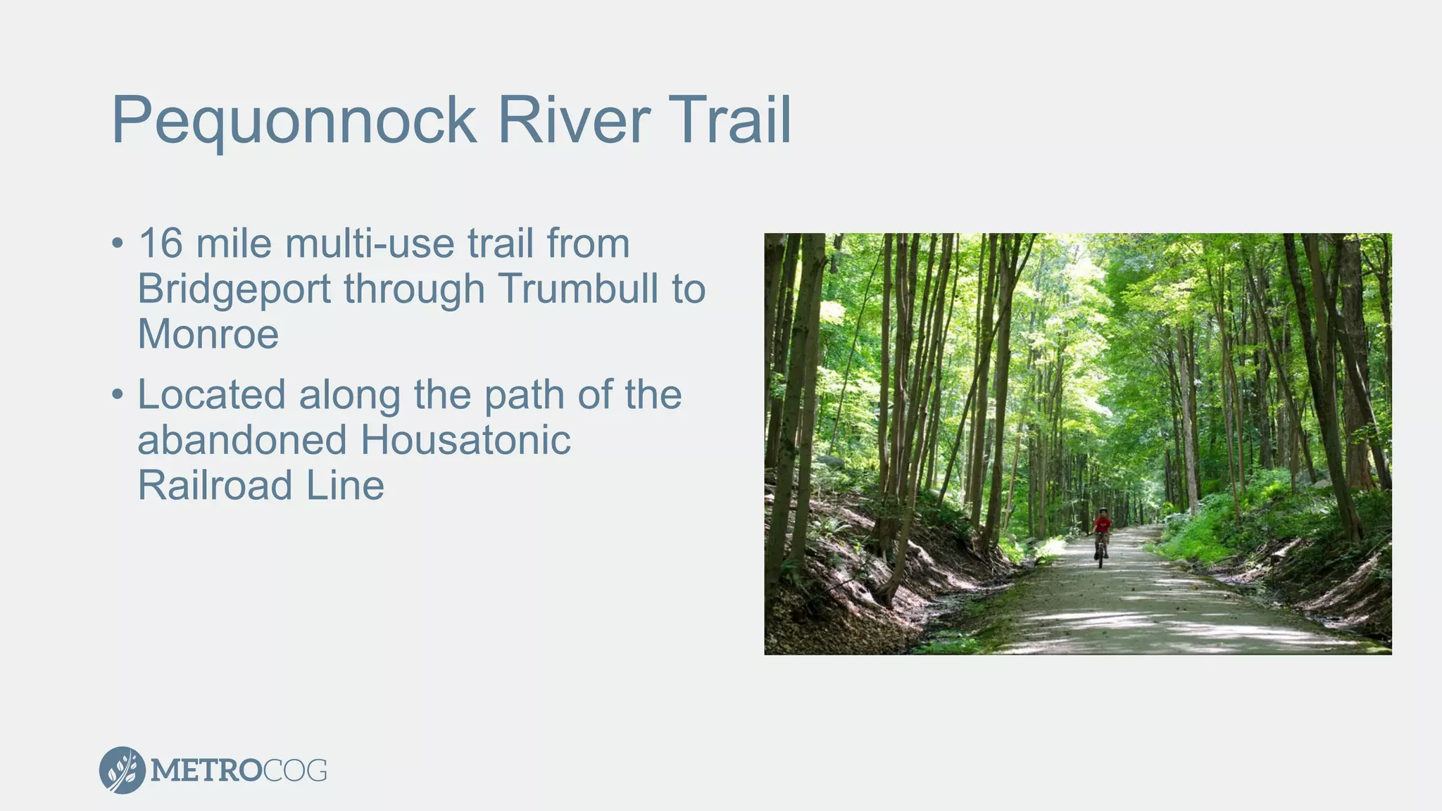
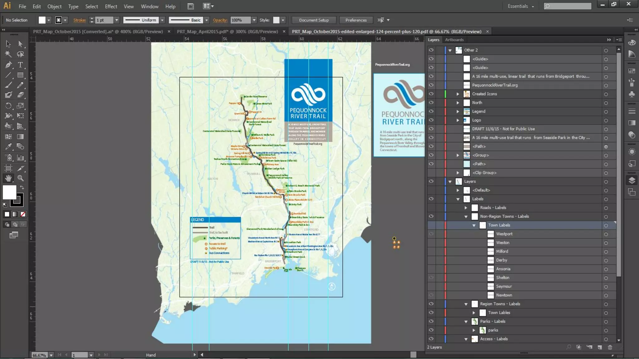
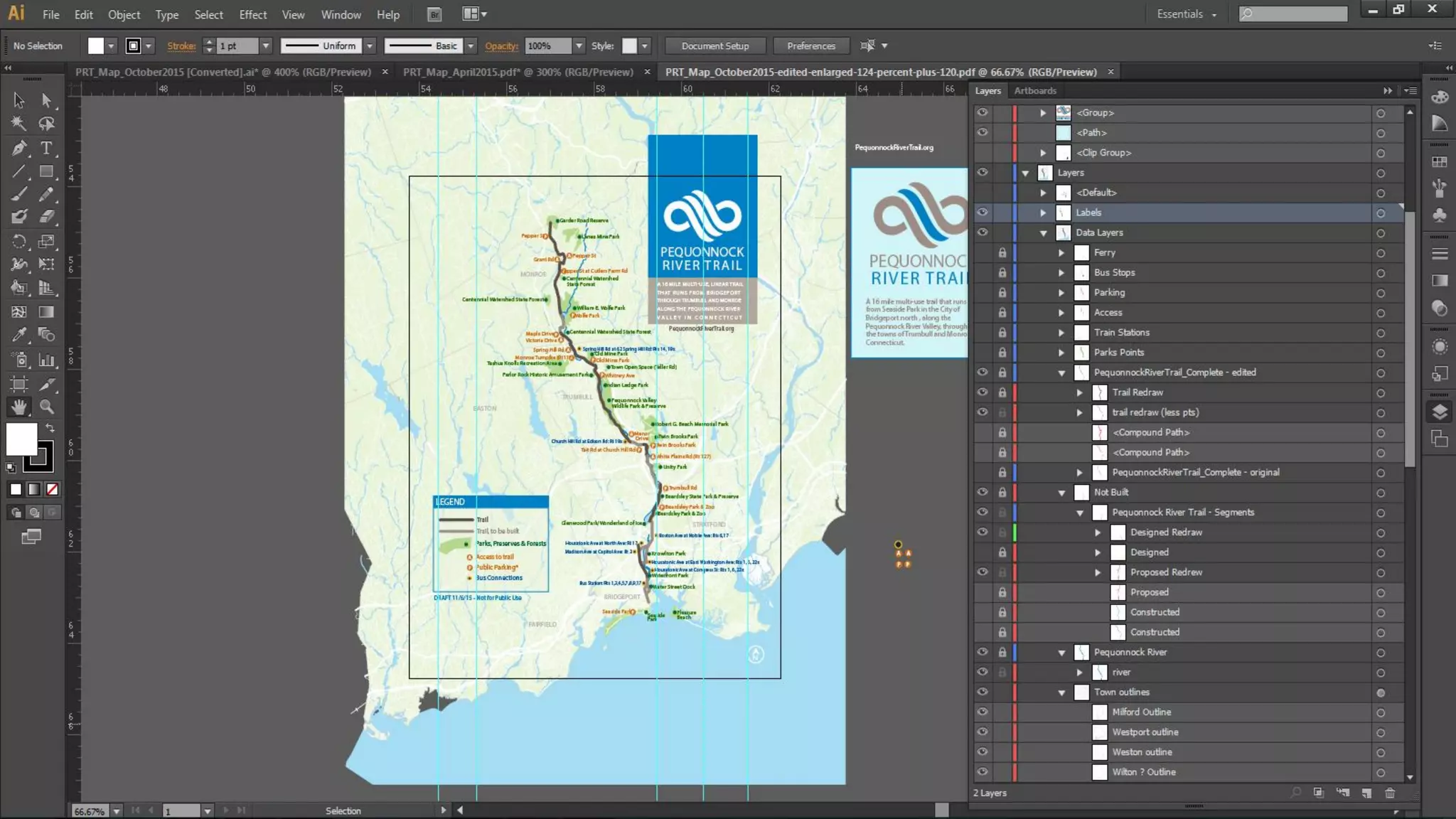
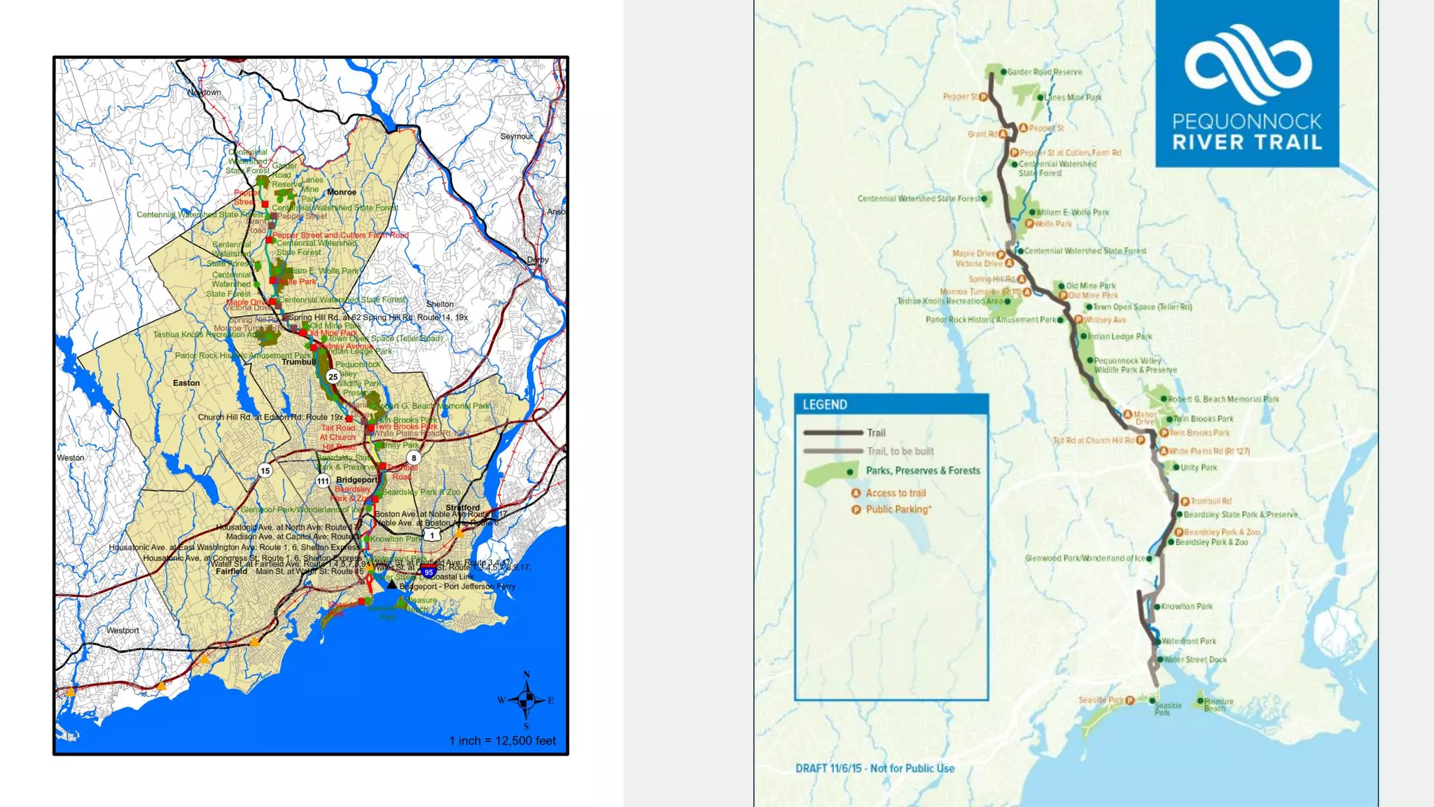
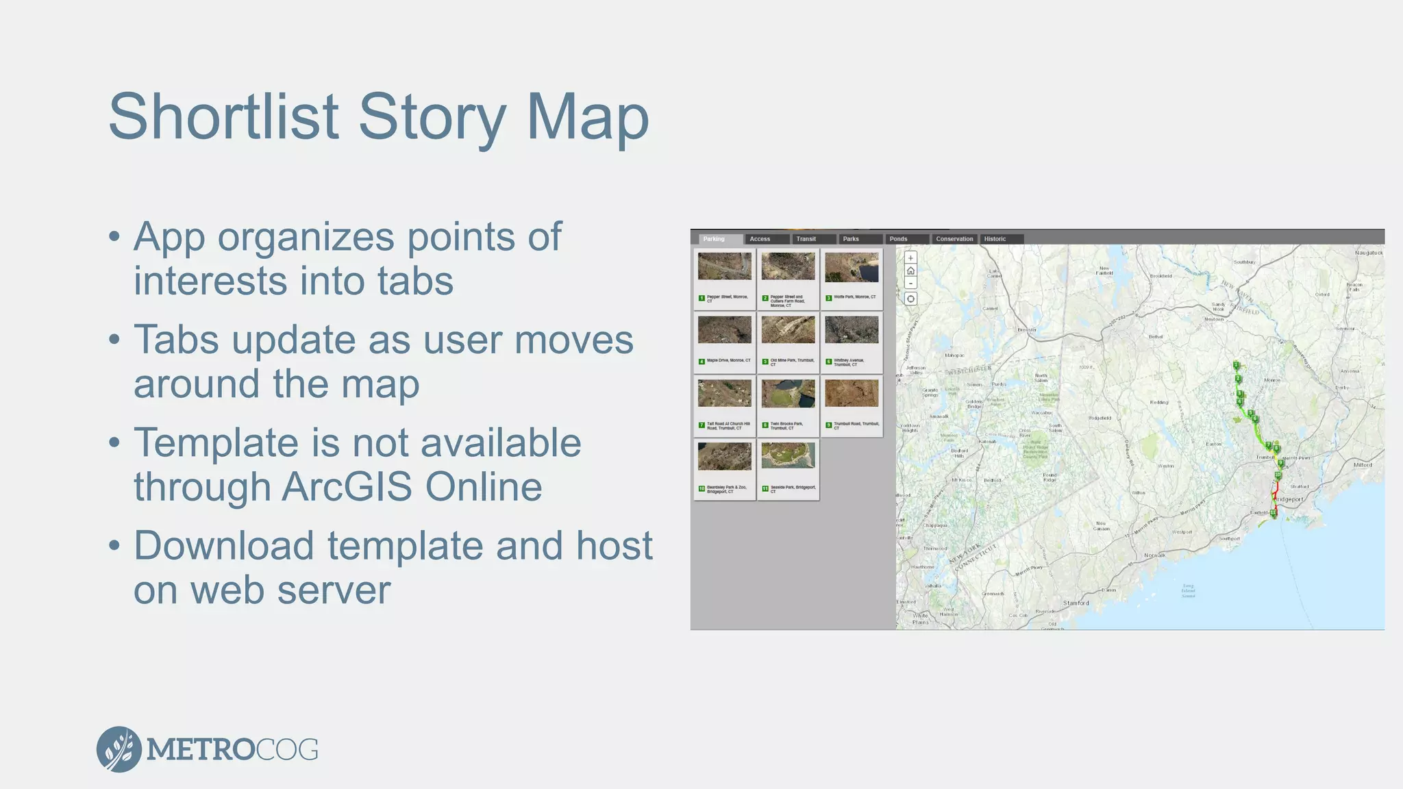


The document provides guidance on enhancing maps using Adobe Illustrator and discusses the Pequotock River Trail, a 16-mile multi-use trail. It outlines mapping products produced by Metrocog, including a static paper map and an interactive story map that organizes points of interest. Tips for effectively using Illustrator and creating the shortlist story map template are also included, emphasizing simplicity and proper layering techniques.