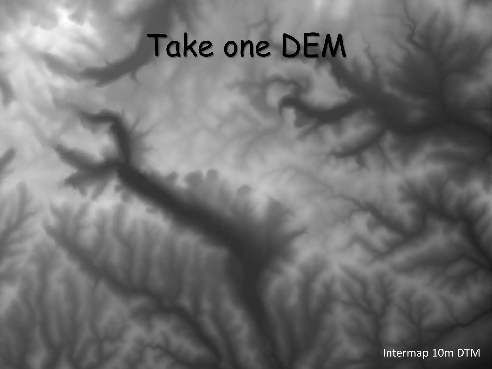
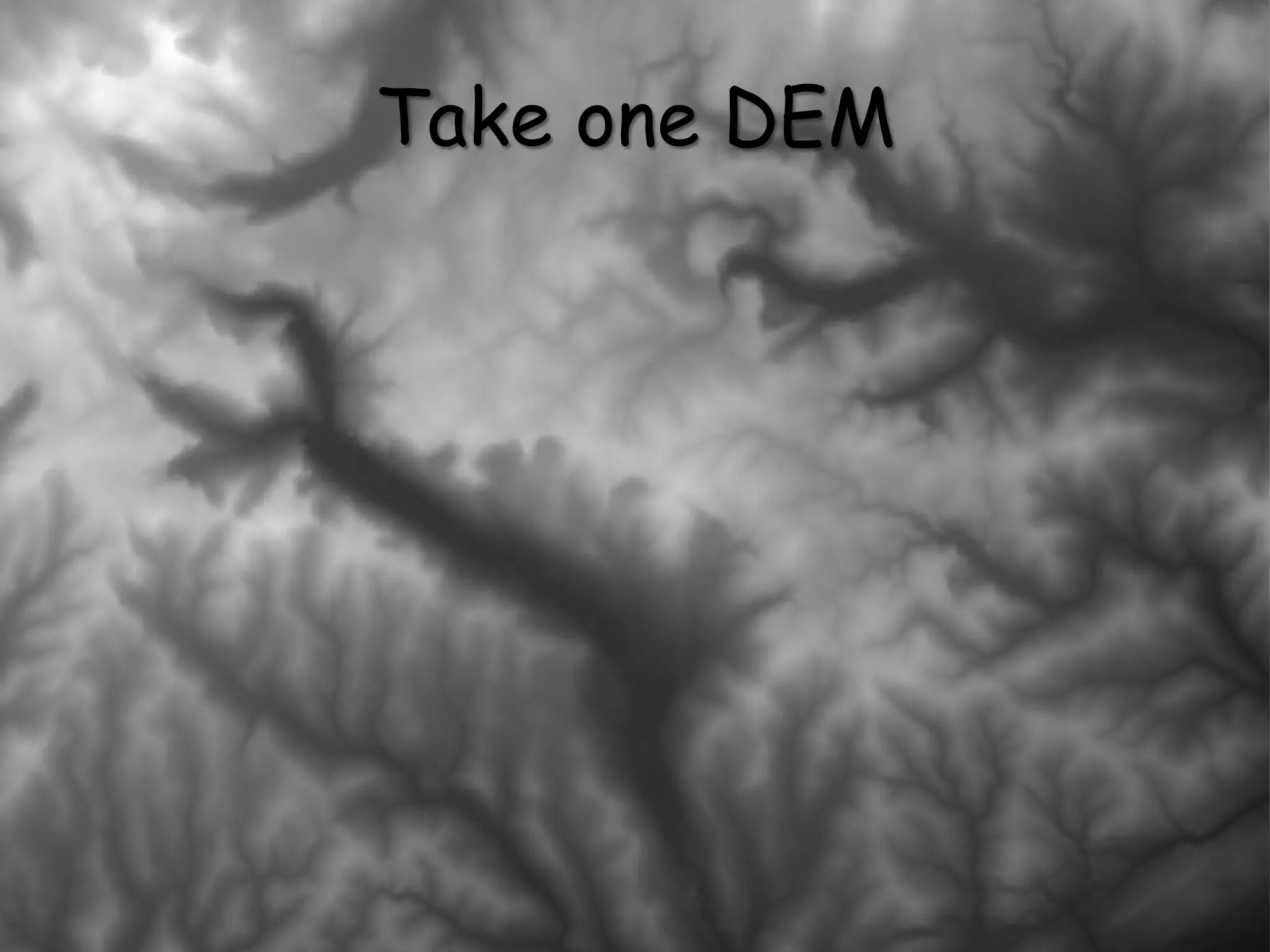
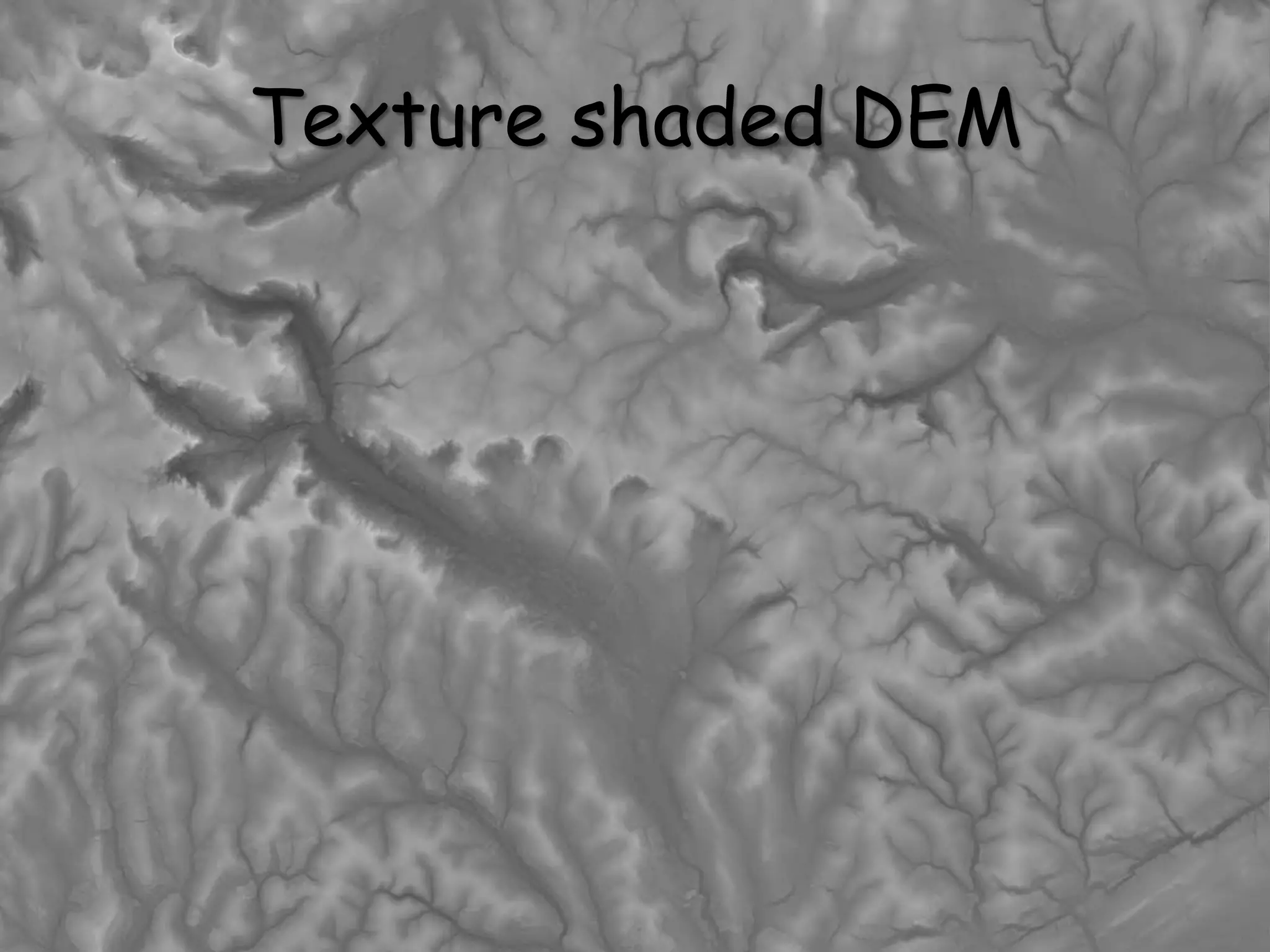
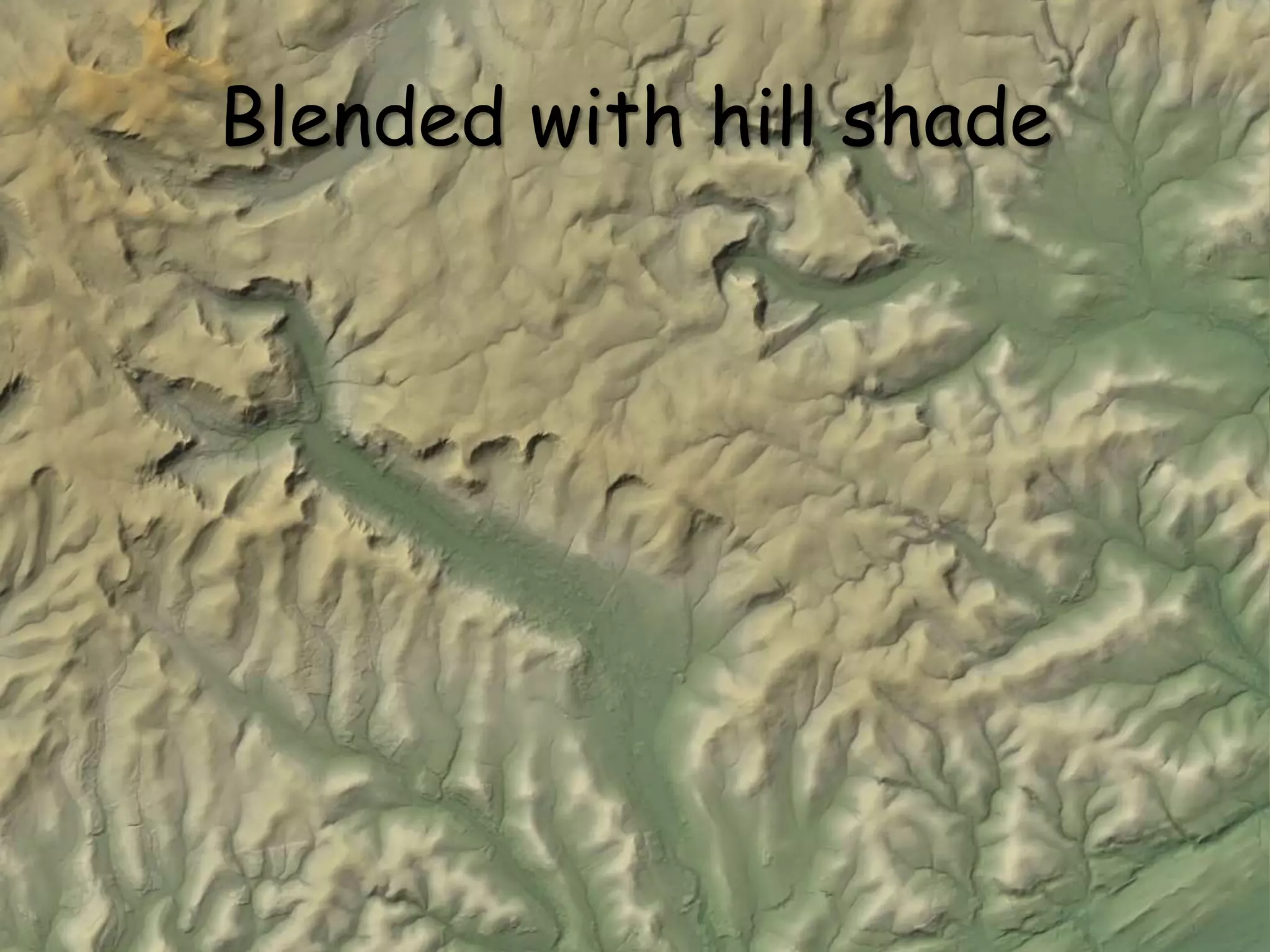
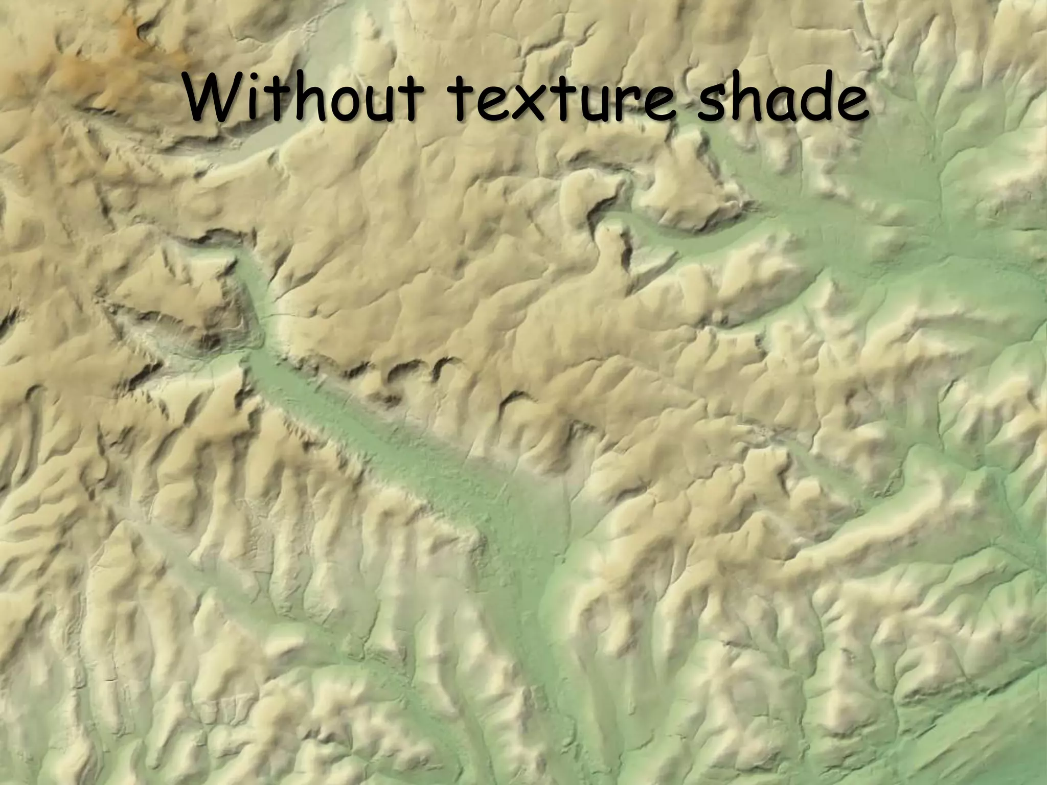
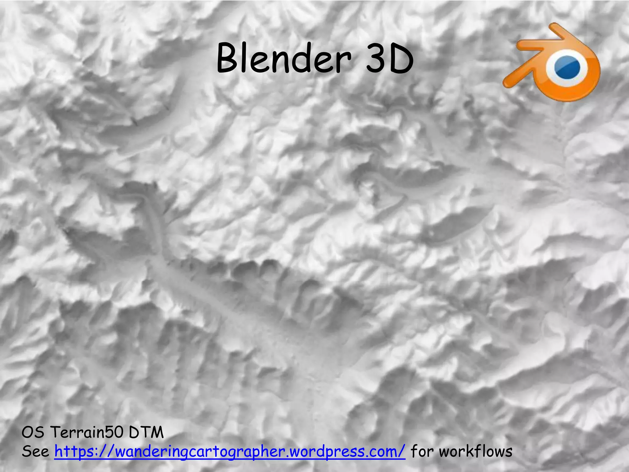
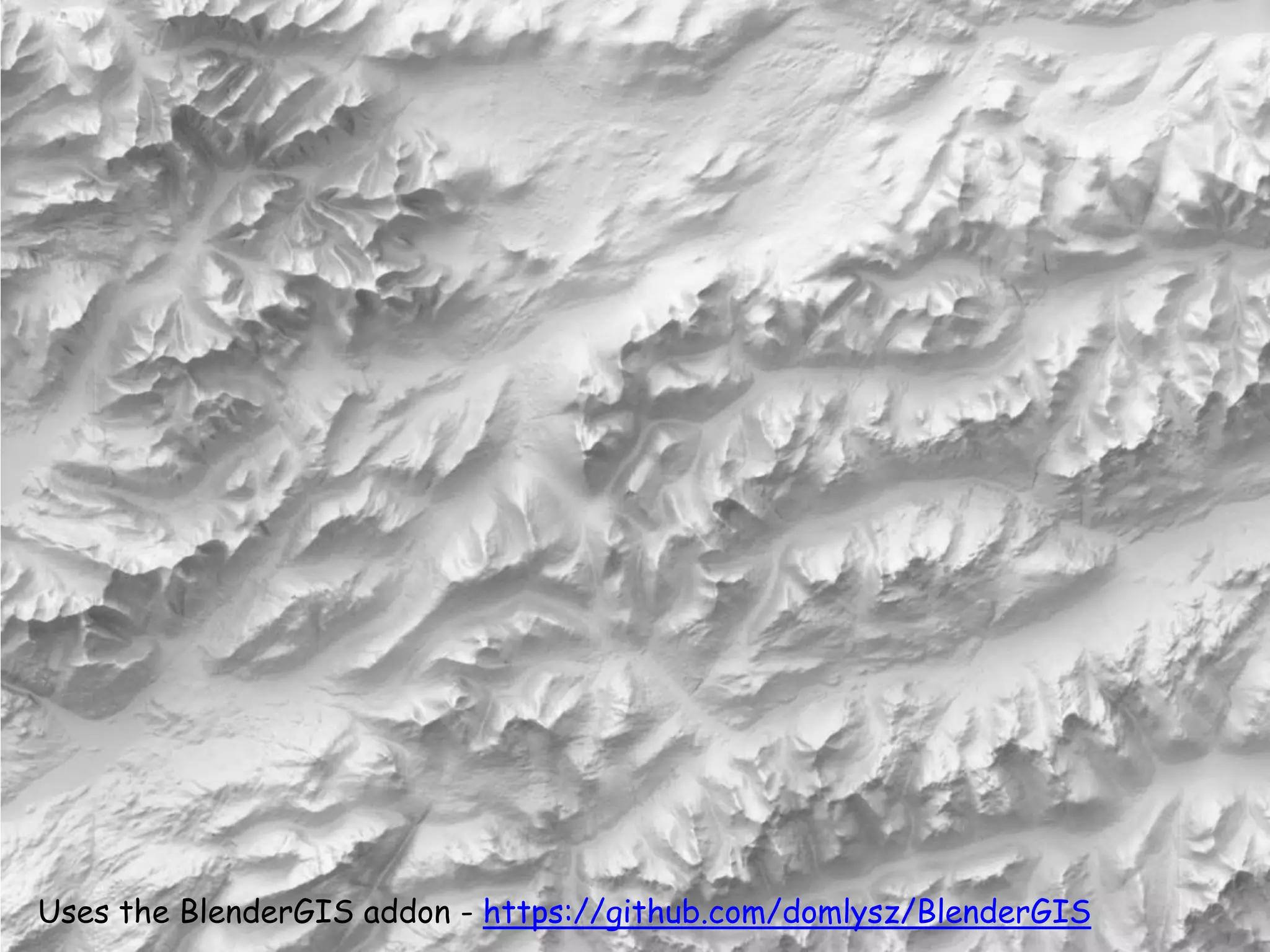
them thar hills
shadin’, texturin’, blendin’
Ross McDonald @mixedbredie
Take one DEM
Intermap 10m DTM
Add a colour gradient
Make a hill shade
Note the hatching effect caused by live hill shade renderer
Multiply blend
What is texture shading?
An alternative shaded relief technique
Based on fractional Laplacian algorithms
Emphasises drainage network
Highlights the visual hierarchy
Developed by Leland Brown
Open source under BSD 2-clause
www.textureshading.com
Mac and Win binaries, compile on Linux
Take one DEM
Workflow
Convert GeoTIFF to GridFloat
gdal_translate –of EHdr –ot Float32 in.tif out.flt
Generate a texture
./texture 2/3 out.flt texture.flt
Export a GeoTIFF
./texture_image +2.0 texture.flt texture.tif
Texture shaded DEM
Coloured in
Blended with hill shade
Without texture shade
Blender 3D
OS Terrain50 DTM
See https://wanderingcartographer.wordpress.com/ for workflows
Uses the BlenderGIS addon - https://github.com/domlysz/BlenderGIS
Comparison
QGIS/GDAL
Quick
Easy
QGIS Raster menu
QGIS Live renderer
(press F7 in 2.16)
Render artefacts 
Texture Shading
Download required
Easy to use
Some prep needed
(Float32 DEM)
Memory dependent
Nice effect
Use alone or blend
Blender
Separate app
Steep learning curve
More prep needed
(Int16 DEM)
RAM/CPU/GPU
dependent
Slow but lovely
Realistic lighting
Inspiration
http://www.shadedrelief.com/
http://www.reliefshading.com/
https://wanderingcartographer.wordpress.com/
http://mapzilla-art.co.uk/
https://owenpowell.wordpress.com/
http://www.mapsmith.net/
https://somethingaboutmaps.wordpress.com/
https://cartoblography.wordpress.com/
http://christopherwesson.azurewebsites.net/

Them thar hills: shadin', texturin', blendin'