Download as PDF, PPTX


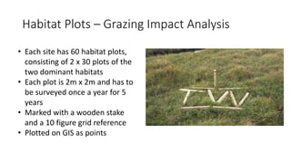
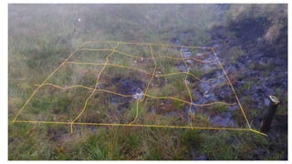
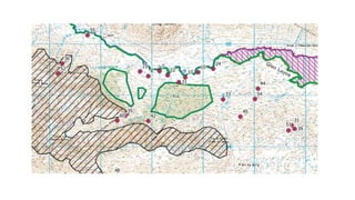
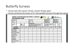
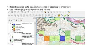
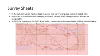
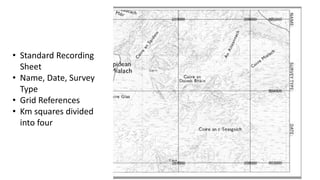
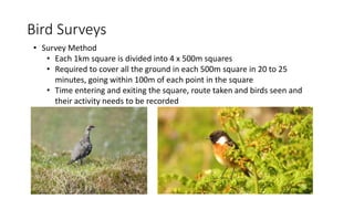


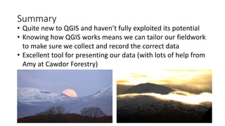

The document discusses the use of QGIS in ecological surveying by Taylor Wildlife, an ecological consultancy. It outlines their applications of QGIS for habitat mapping, survey sheet creation, and data presentation for various wildlife surveys. The summary highlights the need for standardization in surveys and the potential of QGIS to enhance data collection and visualization.