Downloaded 334 times

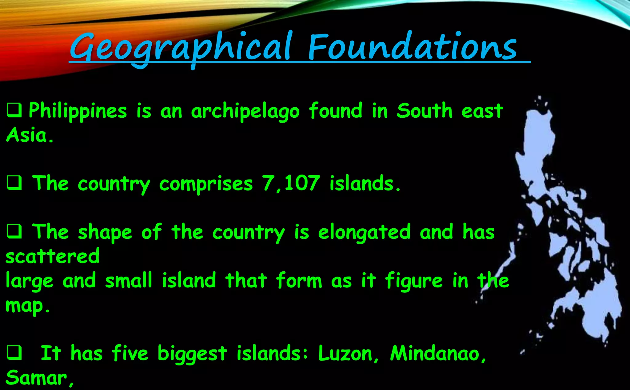


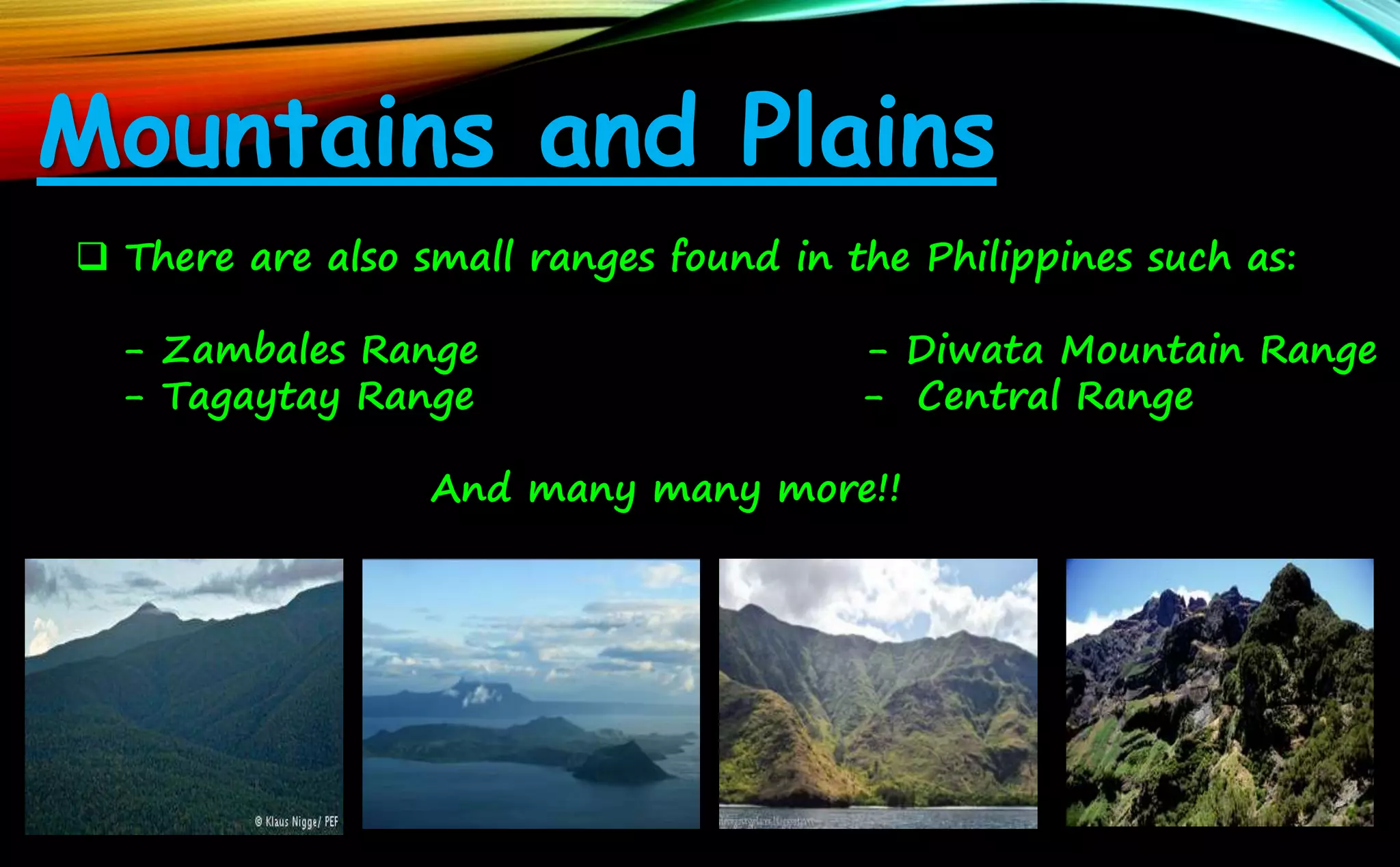


The document provides information on the geography of the Philippine archipelago. It notes that the Philippines comprises over 7,000 islands located in Southeast Asia. The five largest islands are Luzon, Mindanao, Samar, Negros, and Panay. The archipelago has many mountains, volcanoes, rivers, lakes and seas. It also describes the different soil and mineral resources found throughout the islands. In conclusion, it briefly discusses four theories for the origins of the archipelago: volcanism, diastrophism, gradation, and land bridges connecting it to mainland Asia in the past.


