Downloaded 109 times


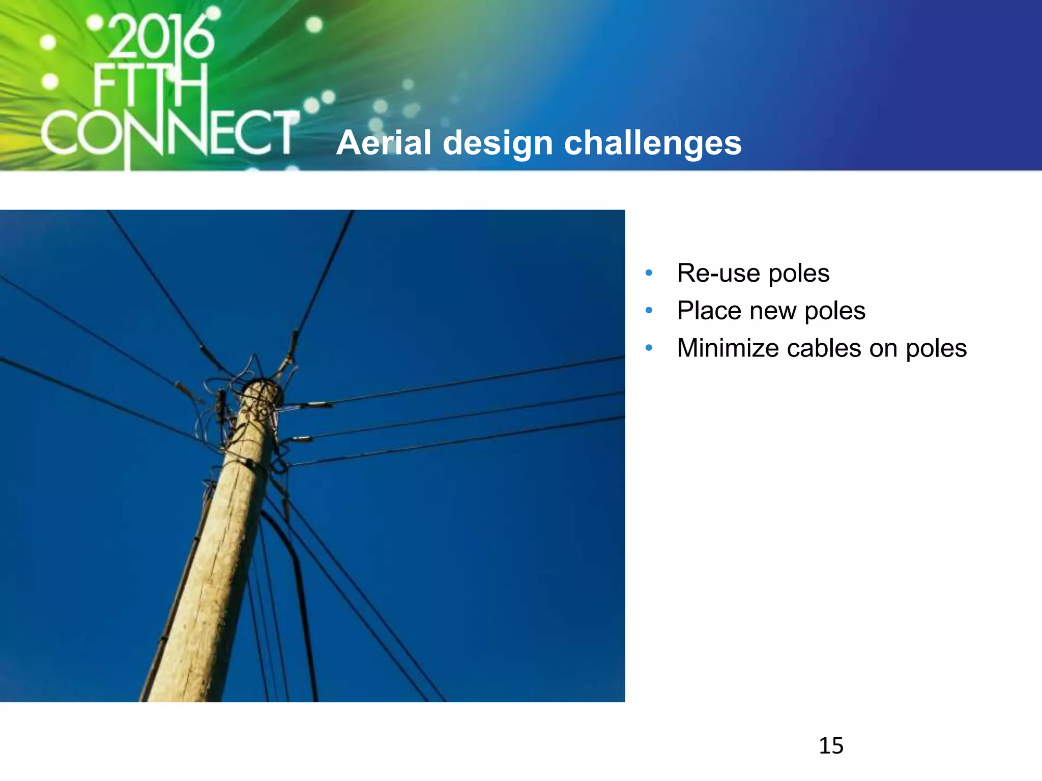
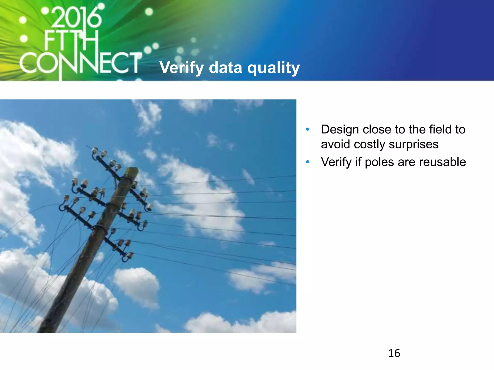
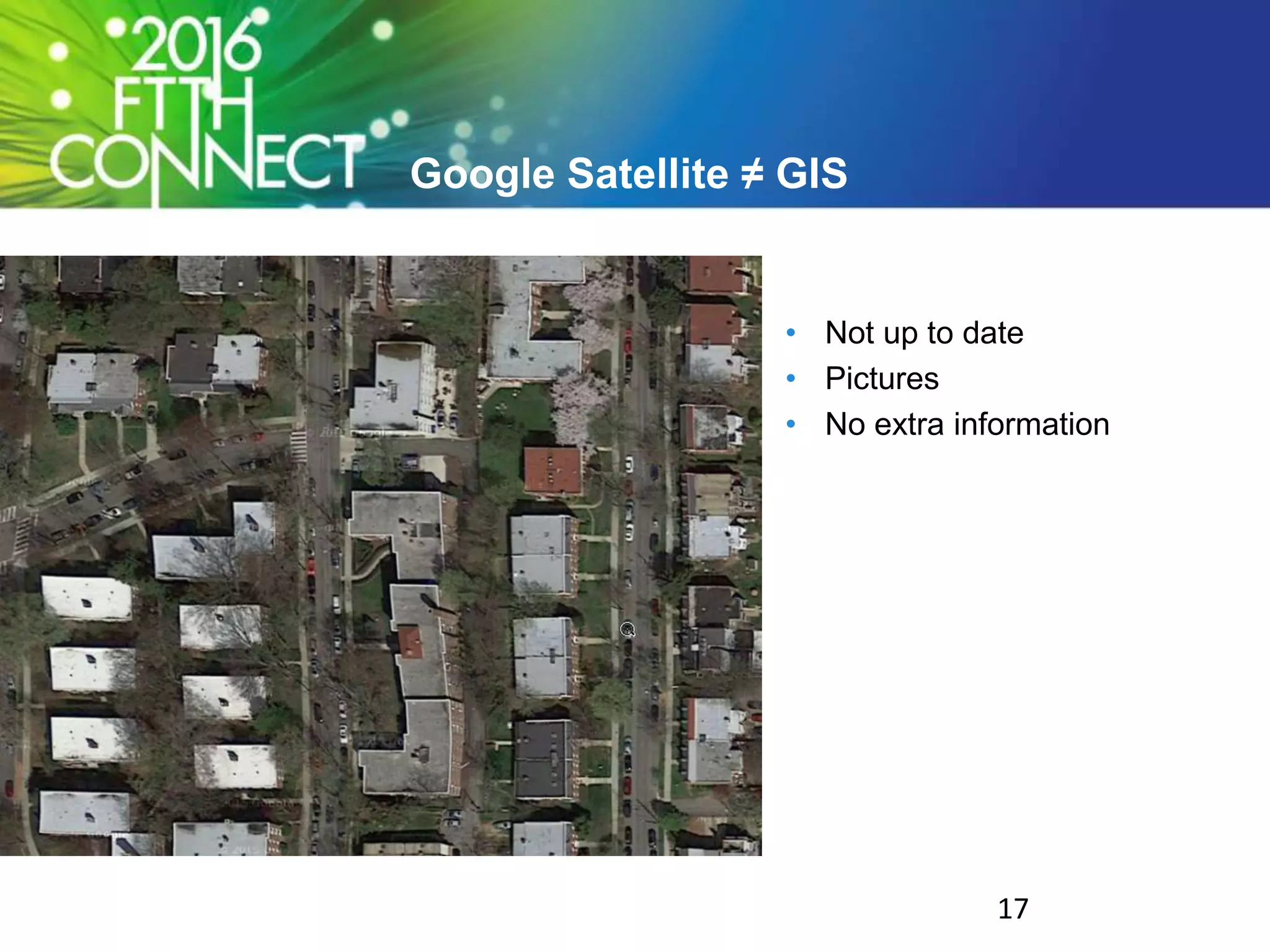
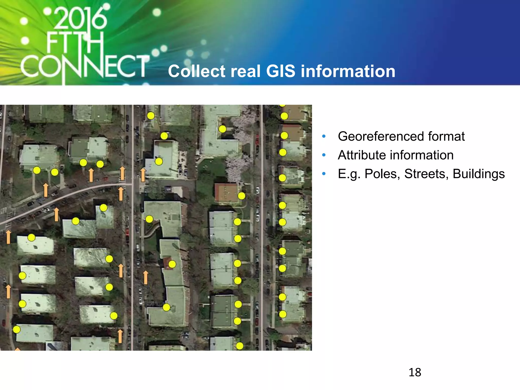

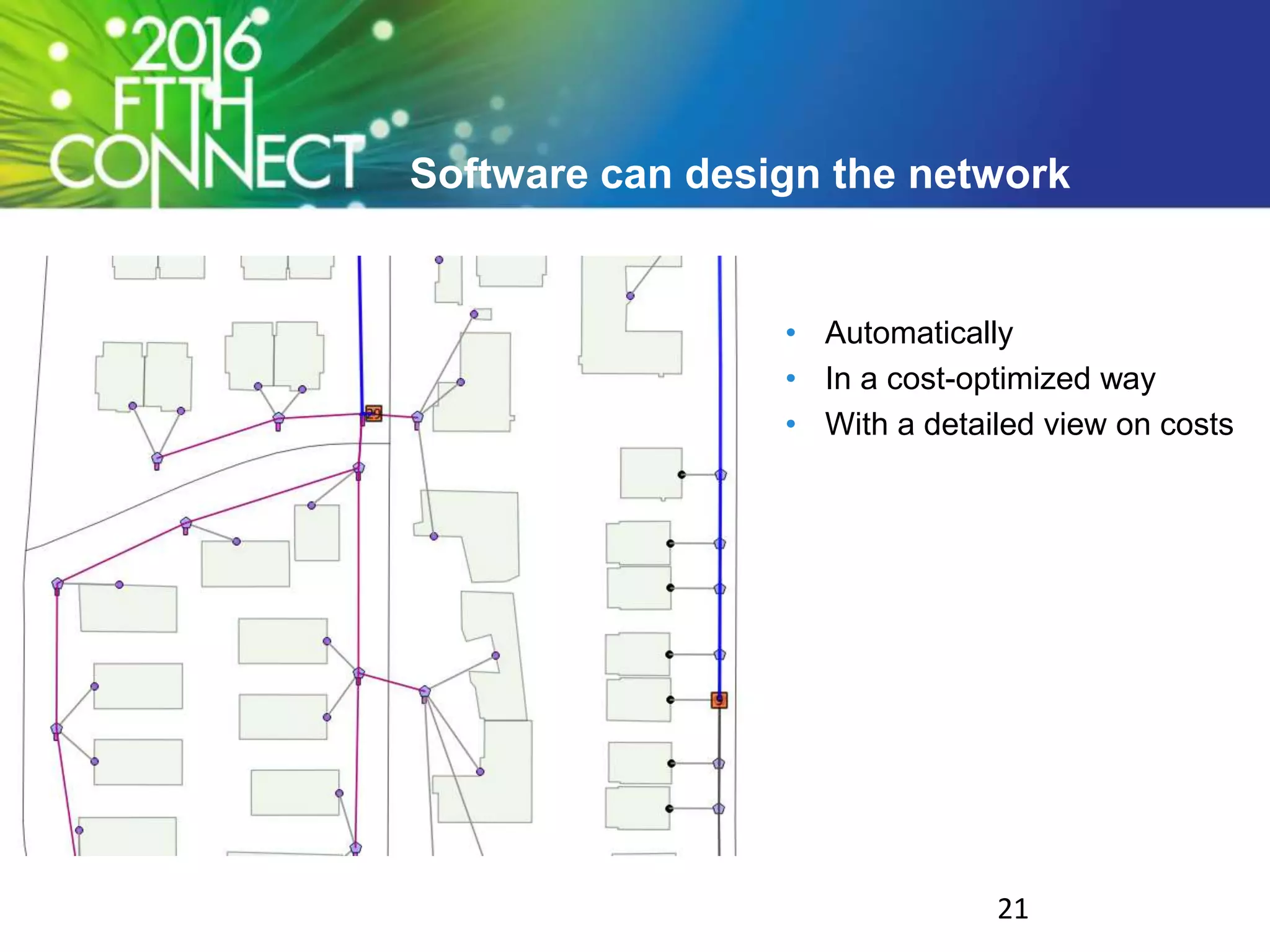


The document outlines steps for successfully managing a fiber-to-the-home (FTTH) network project, emphasizing the importance of pilot projects, GIS data, and automation to save time and costs. It highlights common challenges like in-house expertise and the necessity of high-quality GIS input data for effective design and management. The document advocates leveraging internal resources and tools, while also iterating through learning experiences to optimize network design and customer satisfaction.