Download to read offline

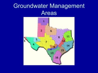
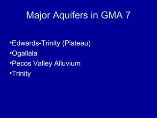
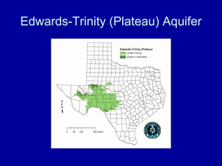
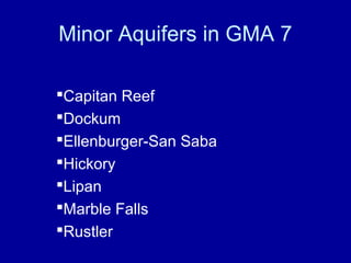
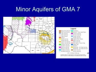
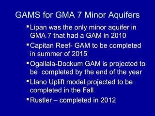


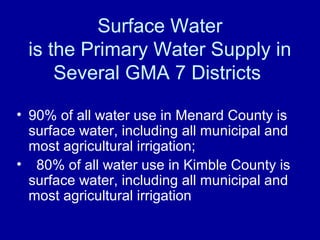

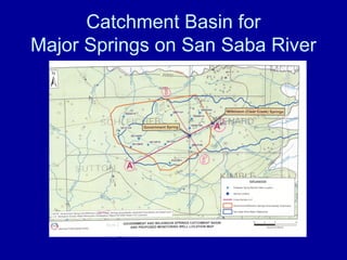
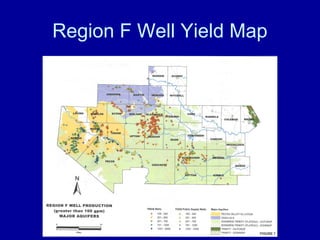


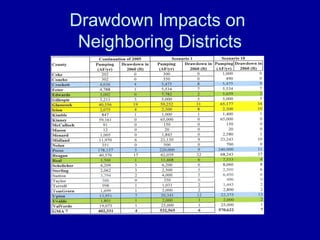
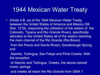
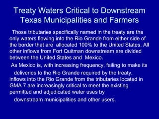
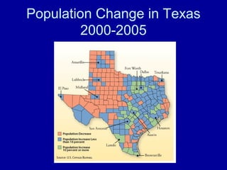
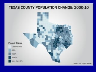
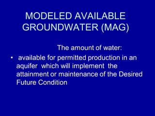
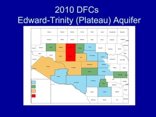

The document discusses surface water issues that must be considered in the joint groundwater management planning process for Groundwater Management Area 7. It summarizes the major and minor aquifers in the area and efforts to develop groundwater availability models (GAMs). Desired future conditions (DFCs) must achieve a balance between various competing water interests while sustaining spring flows and surface water resources. Population growth and drought impact the region's water resources, and groundwater use in one district can affect neighboring districts and downstream water rights.


