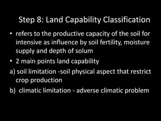
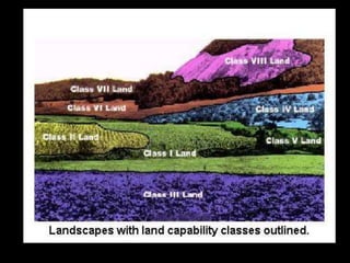
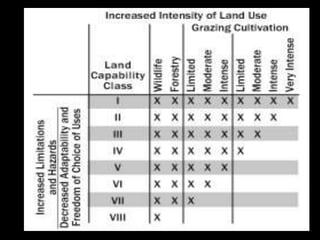
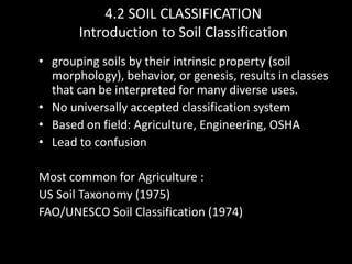
Downloaded 851 times

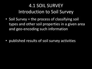
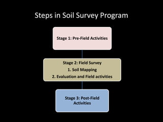
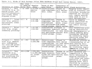


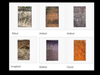
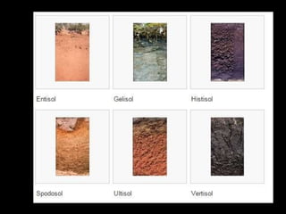
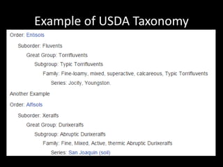


Chapter 4 covers soil survey methodologies, classifications, and land evaluations. It outlines the steps of soil survey, including pre-field, field, and post-field activities, and discusses soil classification systems like FAO/UNESCO and USDA. Additionally, it highlights the importance of land evaluation in assessing property value, considering both physical and socio-economic factors.


![谷歌留痕技术 [ 𝙩𝙤𝙥 𝟮𝟯𝟯. 𝙘 𝙤𝙢 ]](https://cdn.slidesharecdn.com/ss_thumbnails/top233-260130174328-3833018c-thumbnail.jpg?width=640&height=640&fit=bounds)


