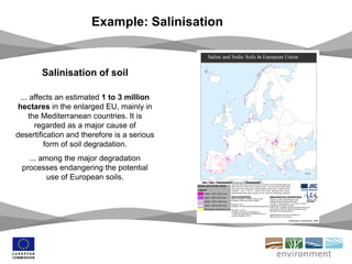
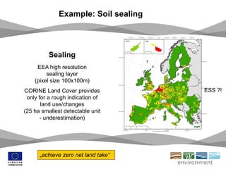
Download to read offline


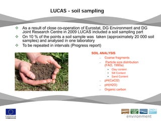
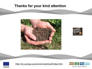

The document outlines the European Commission's initiatives and strategies for soil protection, emphasizing the importance of sustainable soil use and addressing degradation issues like erosion and contamination. It discusses the need for improved data collection, coherence in policies, and ambitious targets like 'zero net land take' by 2050. Key threats to soil quality in Europe are identified, and it calls for enhanced cooperation in monitoring and managing soil resources.


