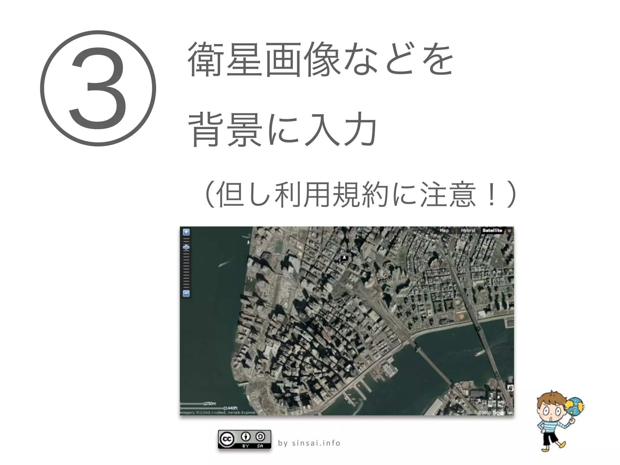
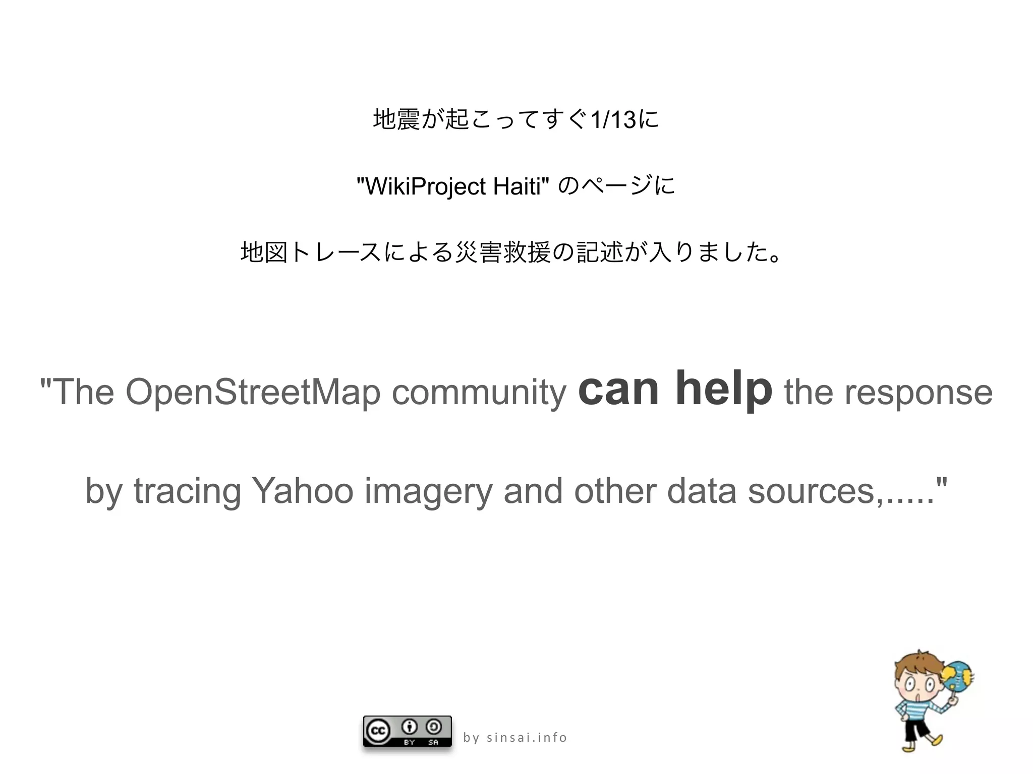
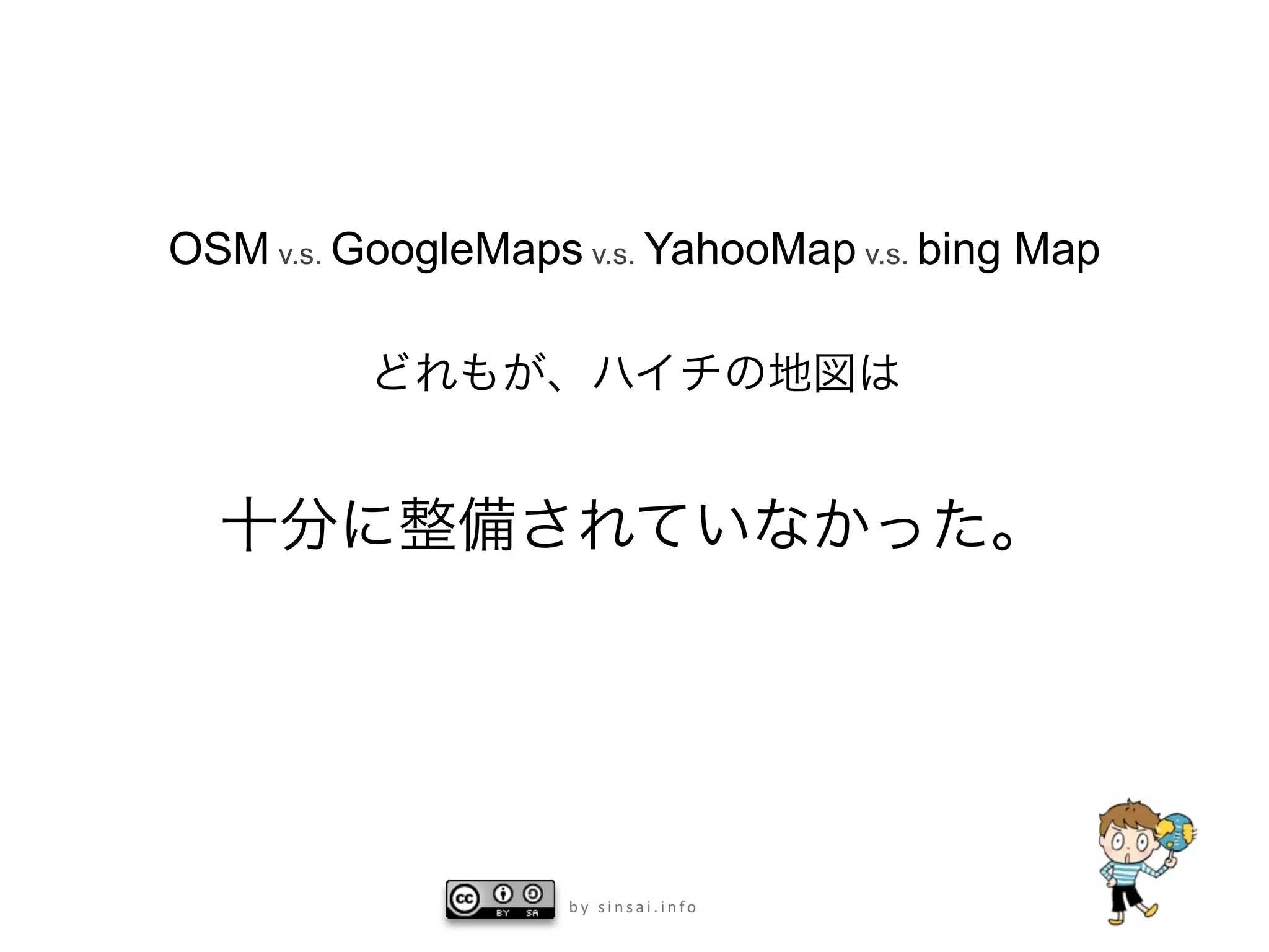
Download to read offline


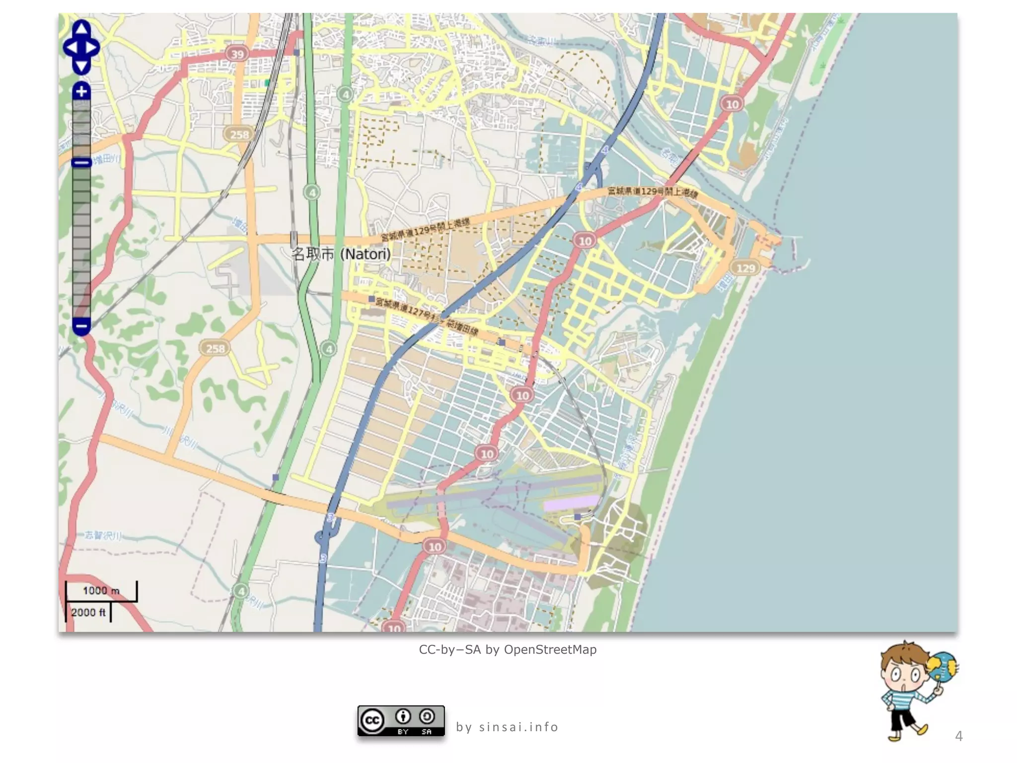


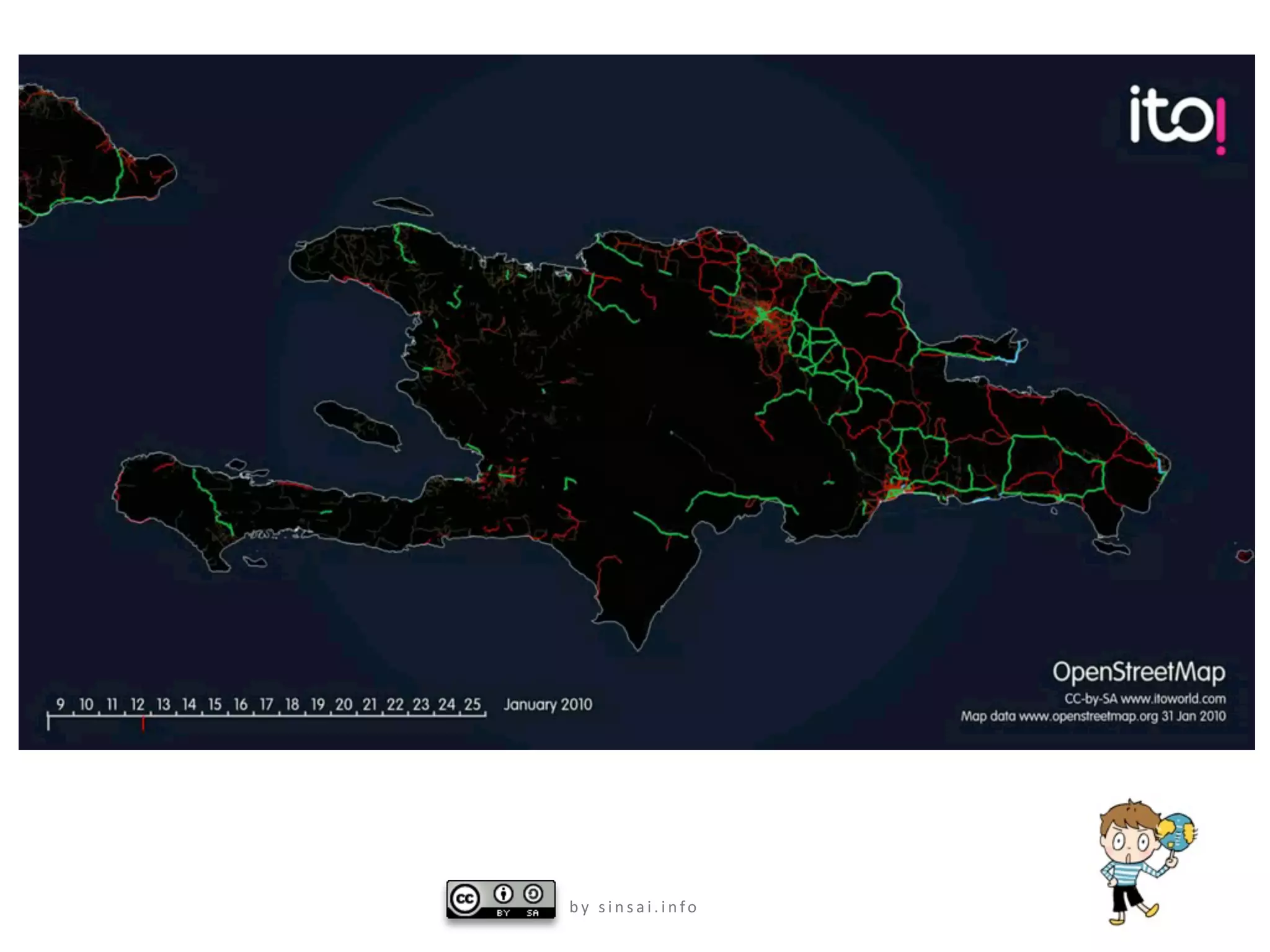


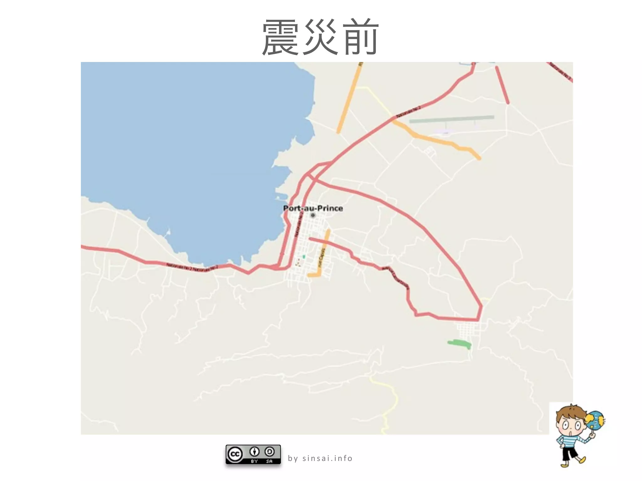
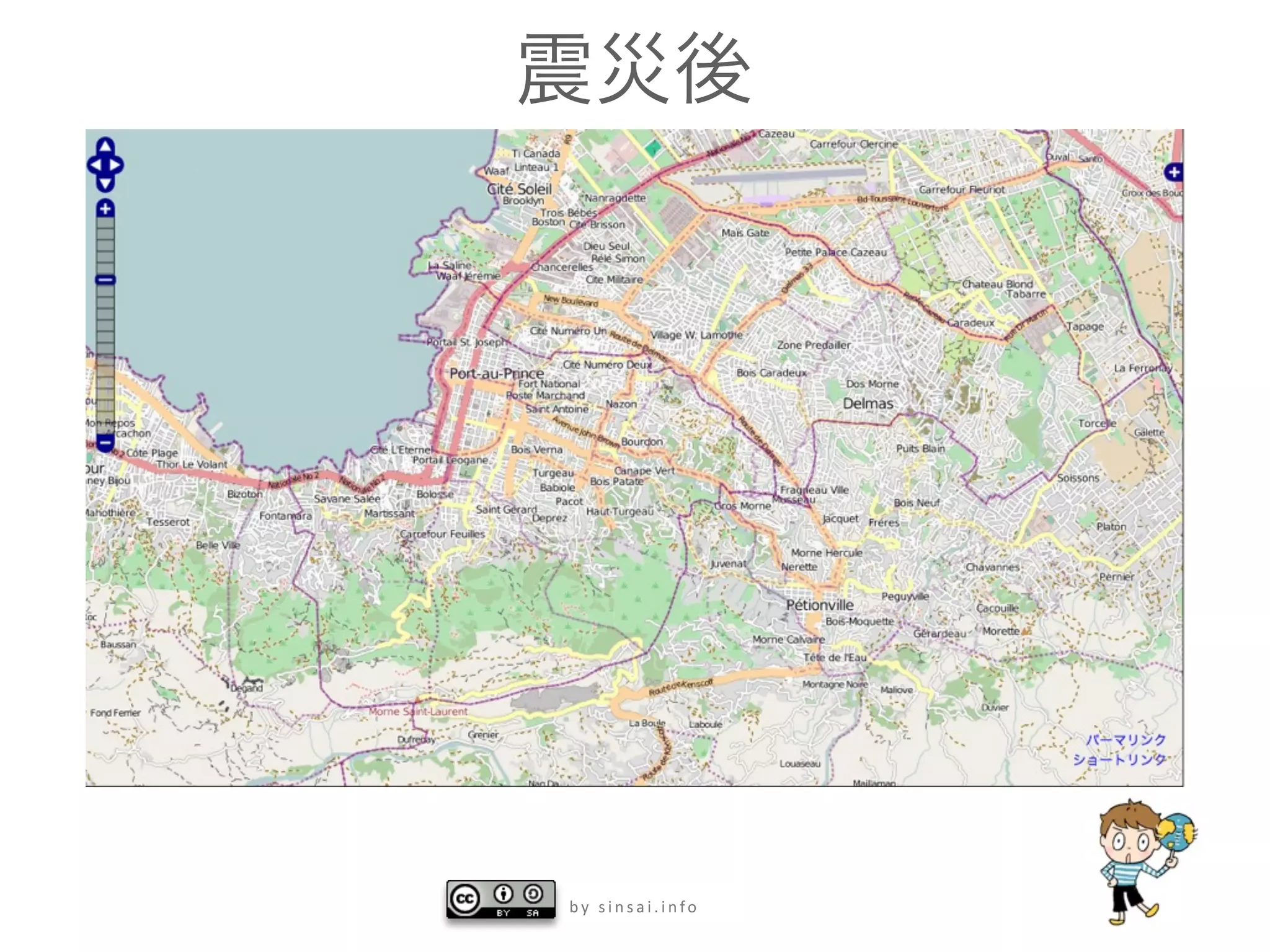
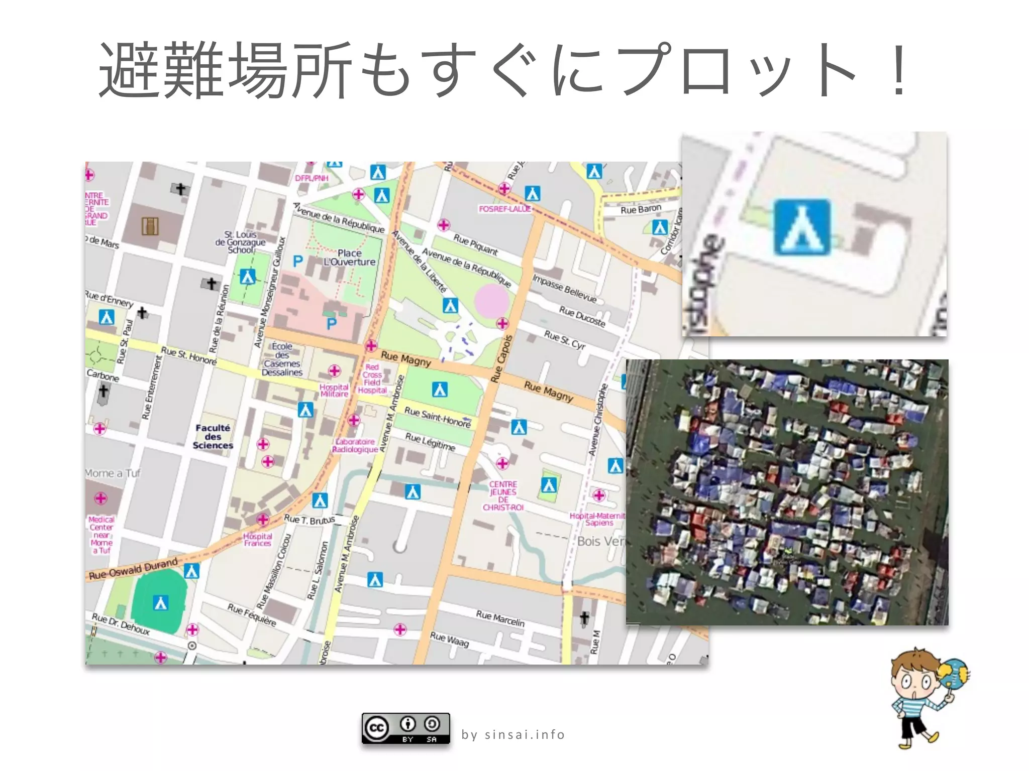
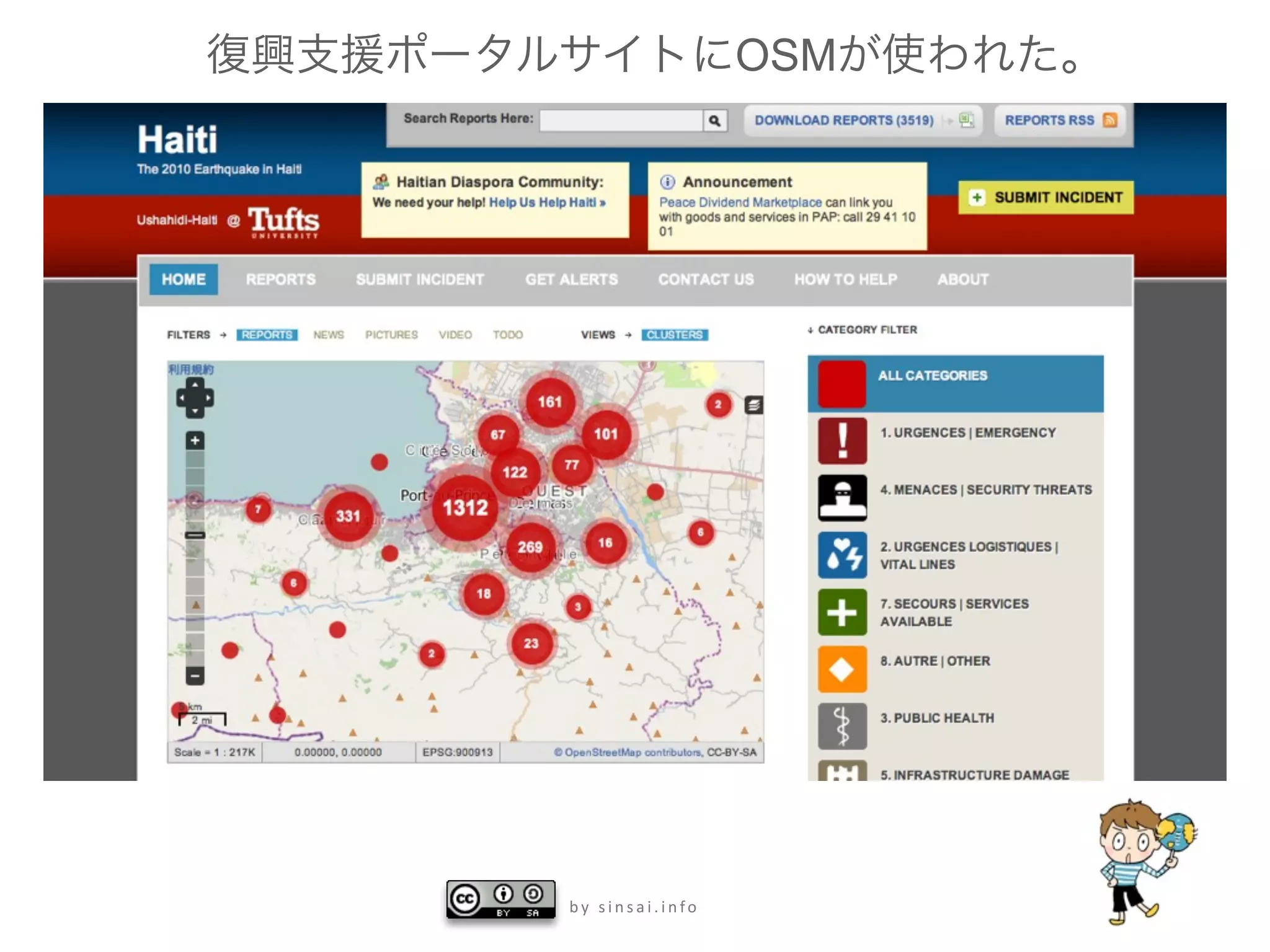


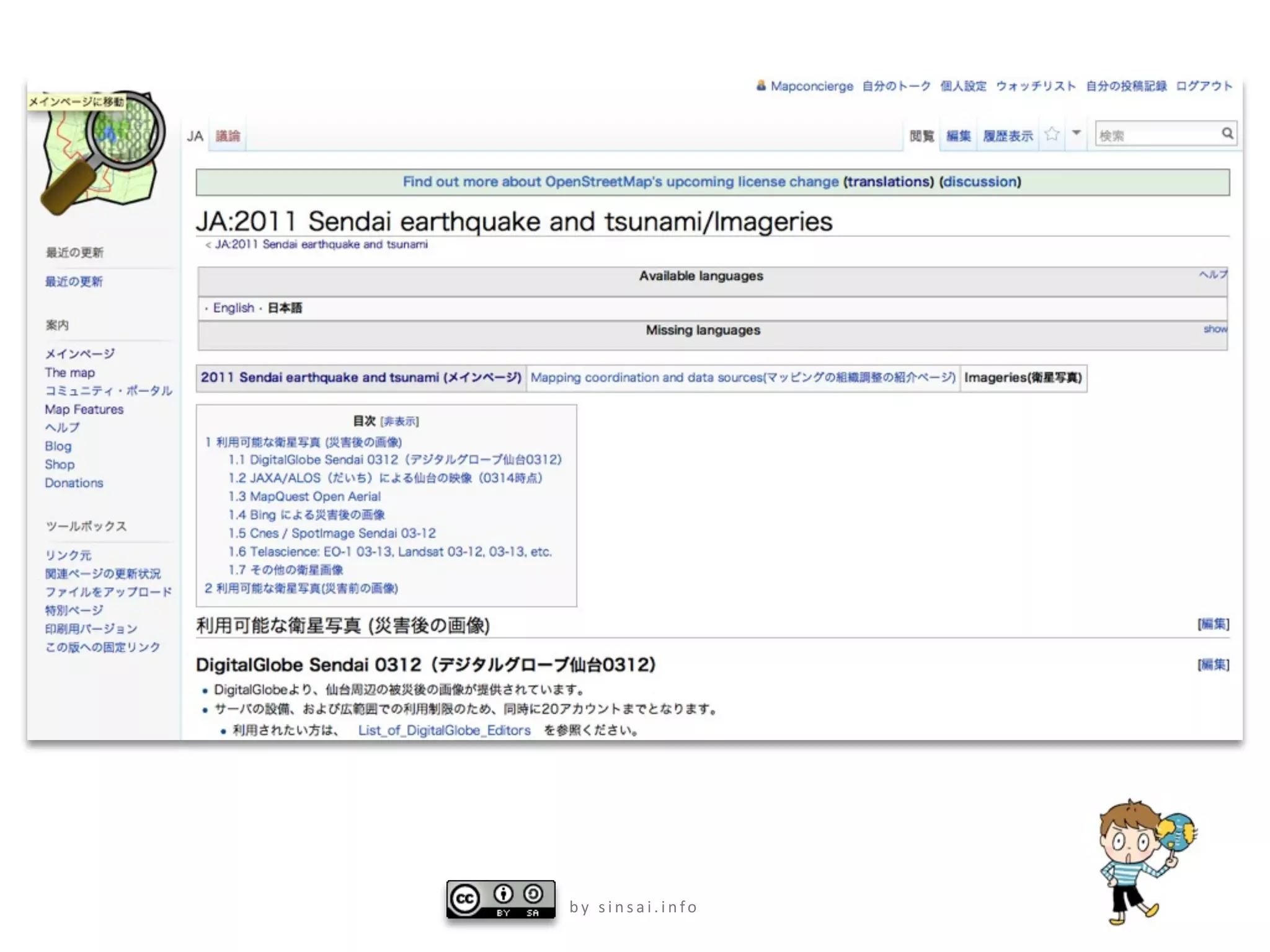
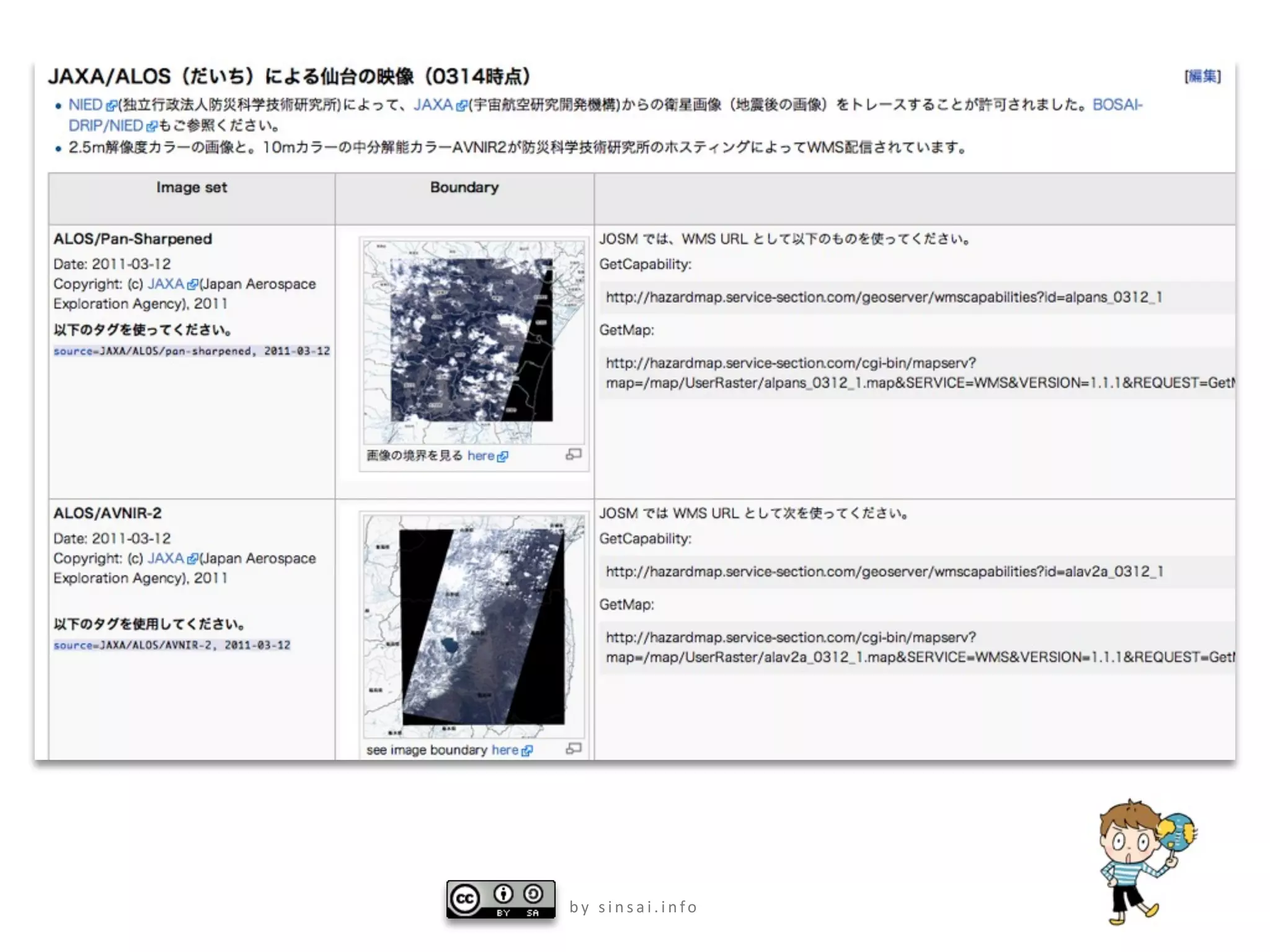

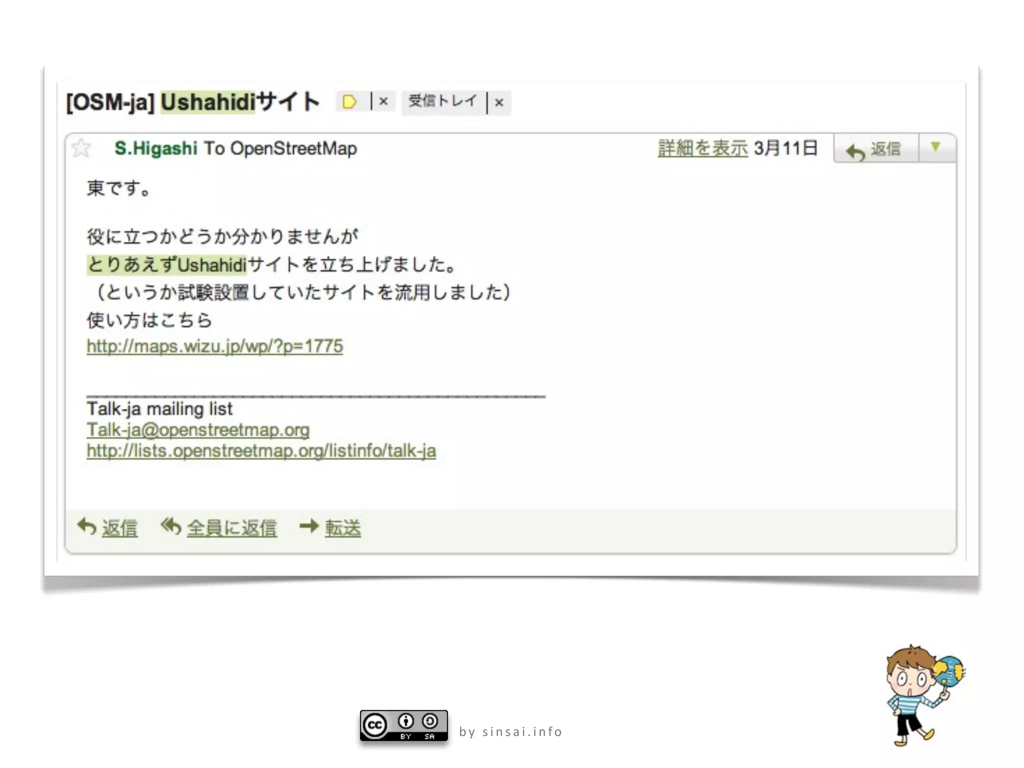

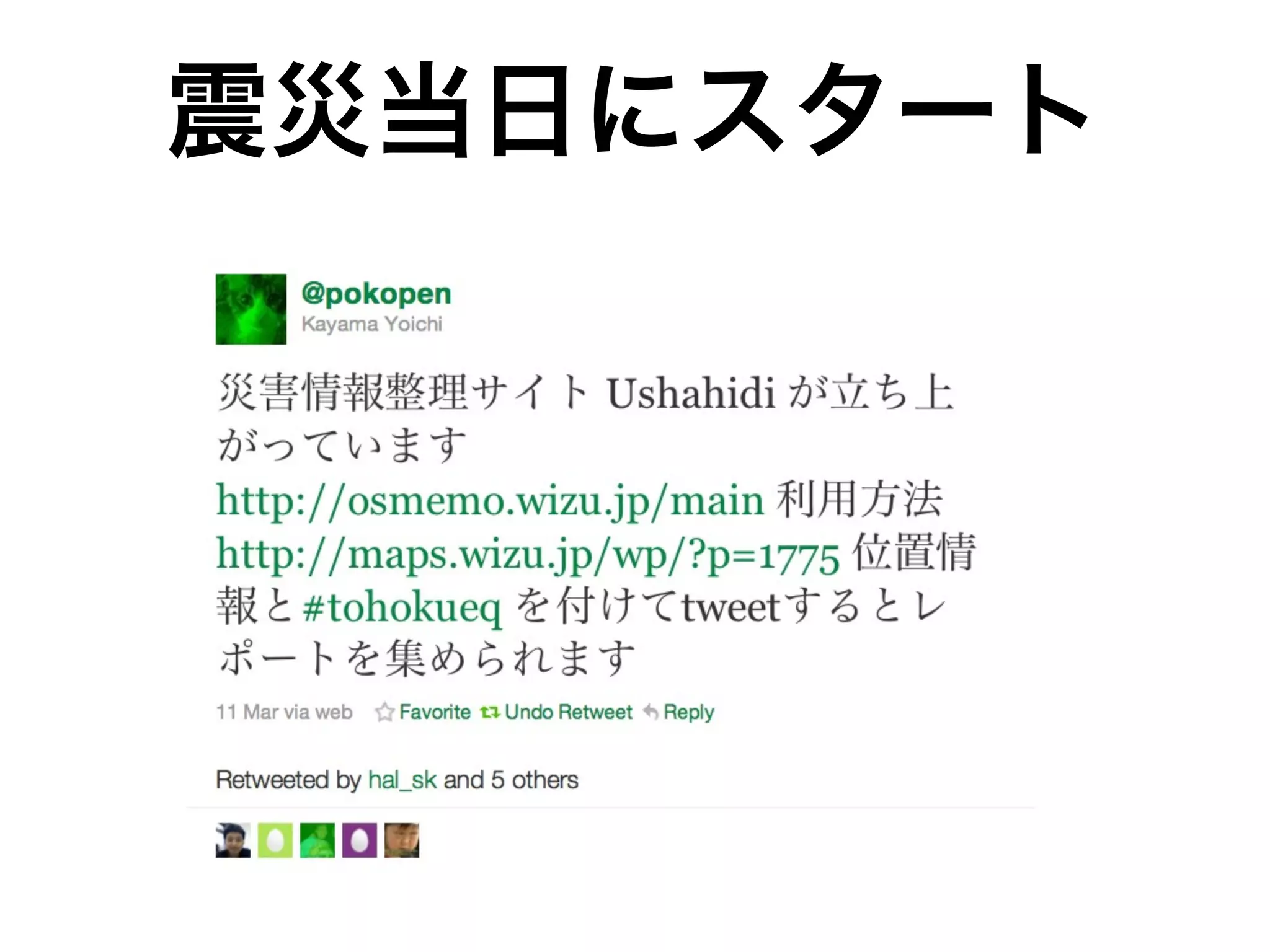
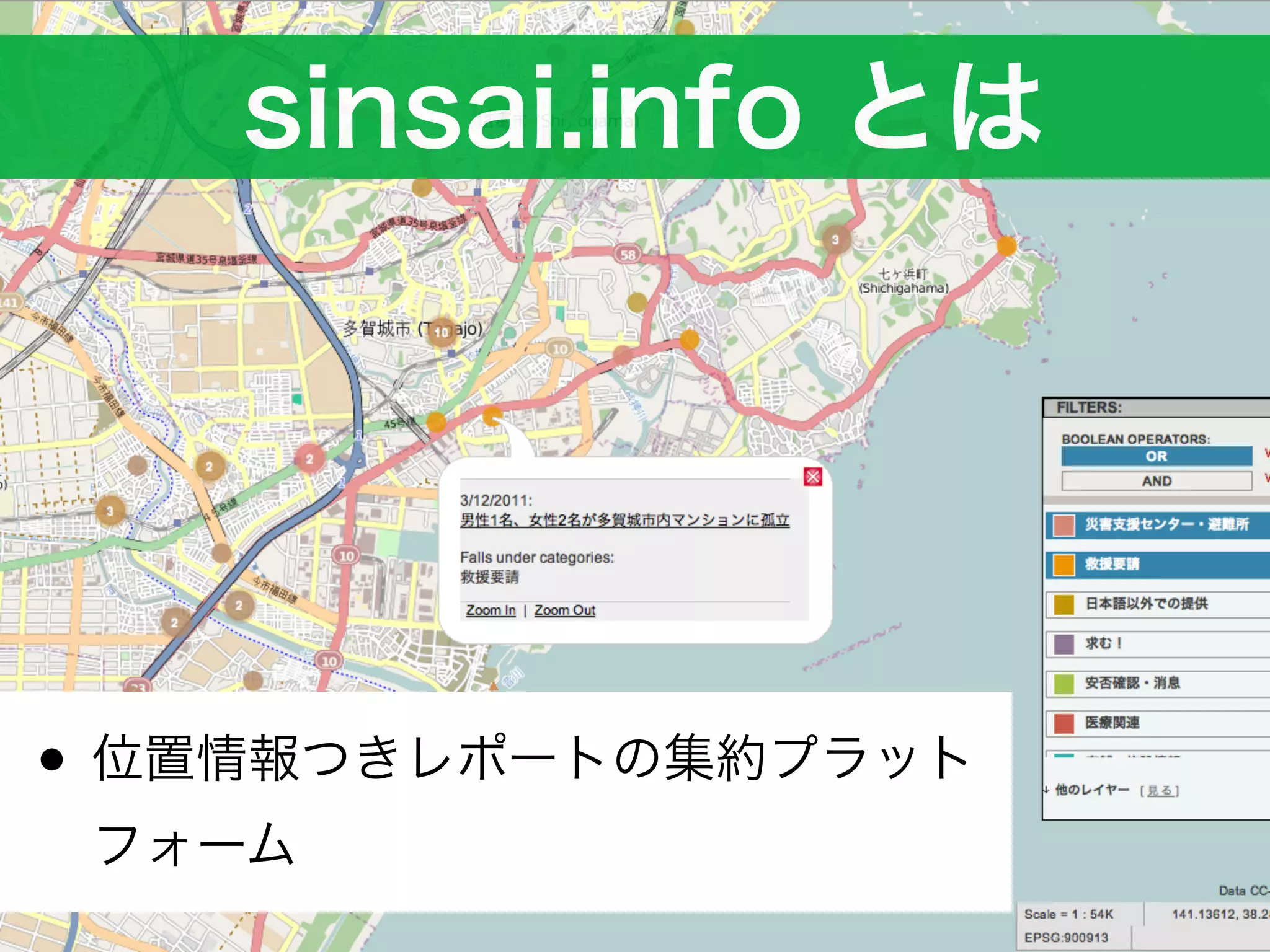
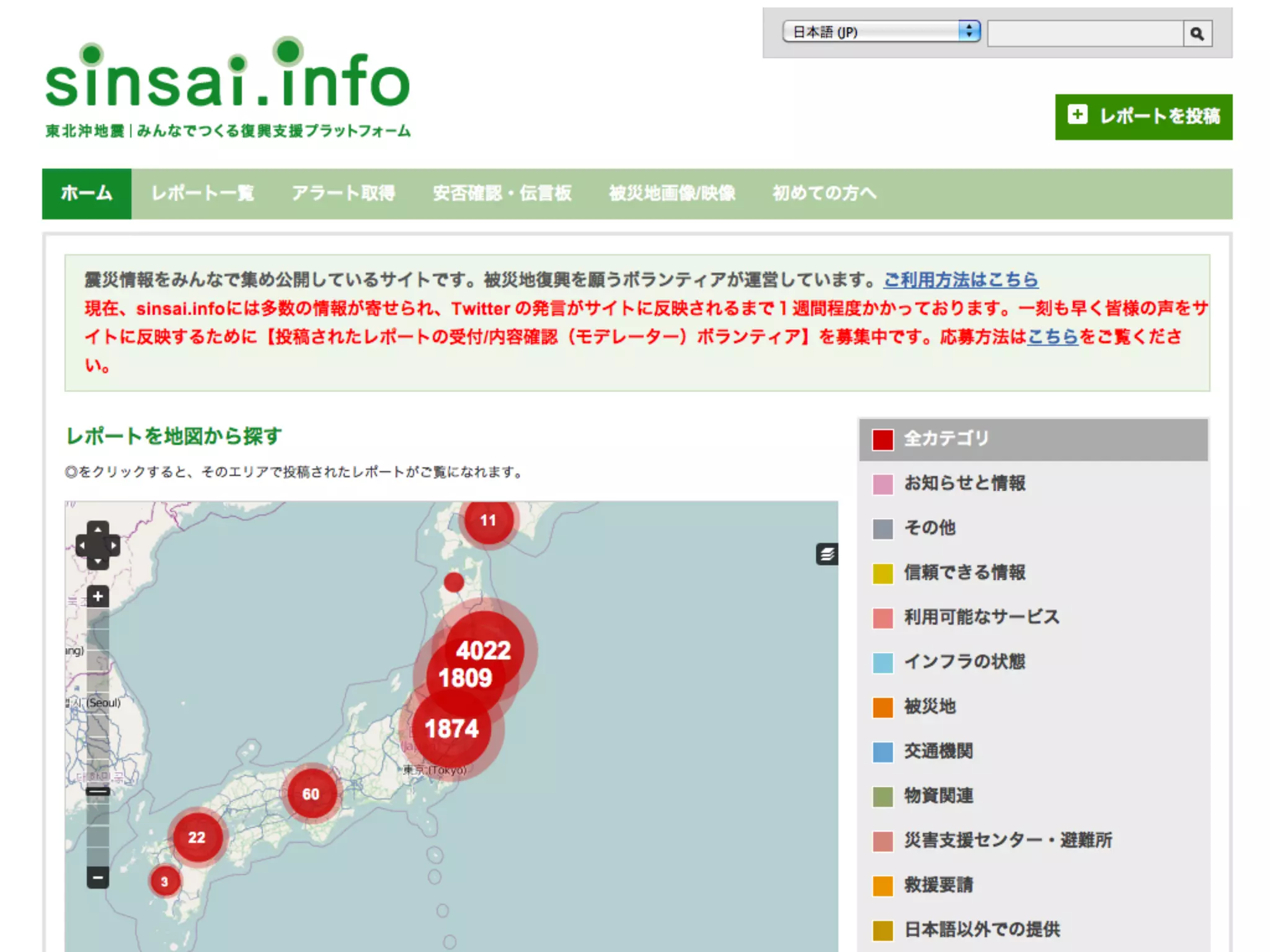
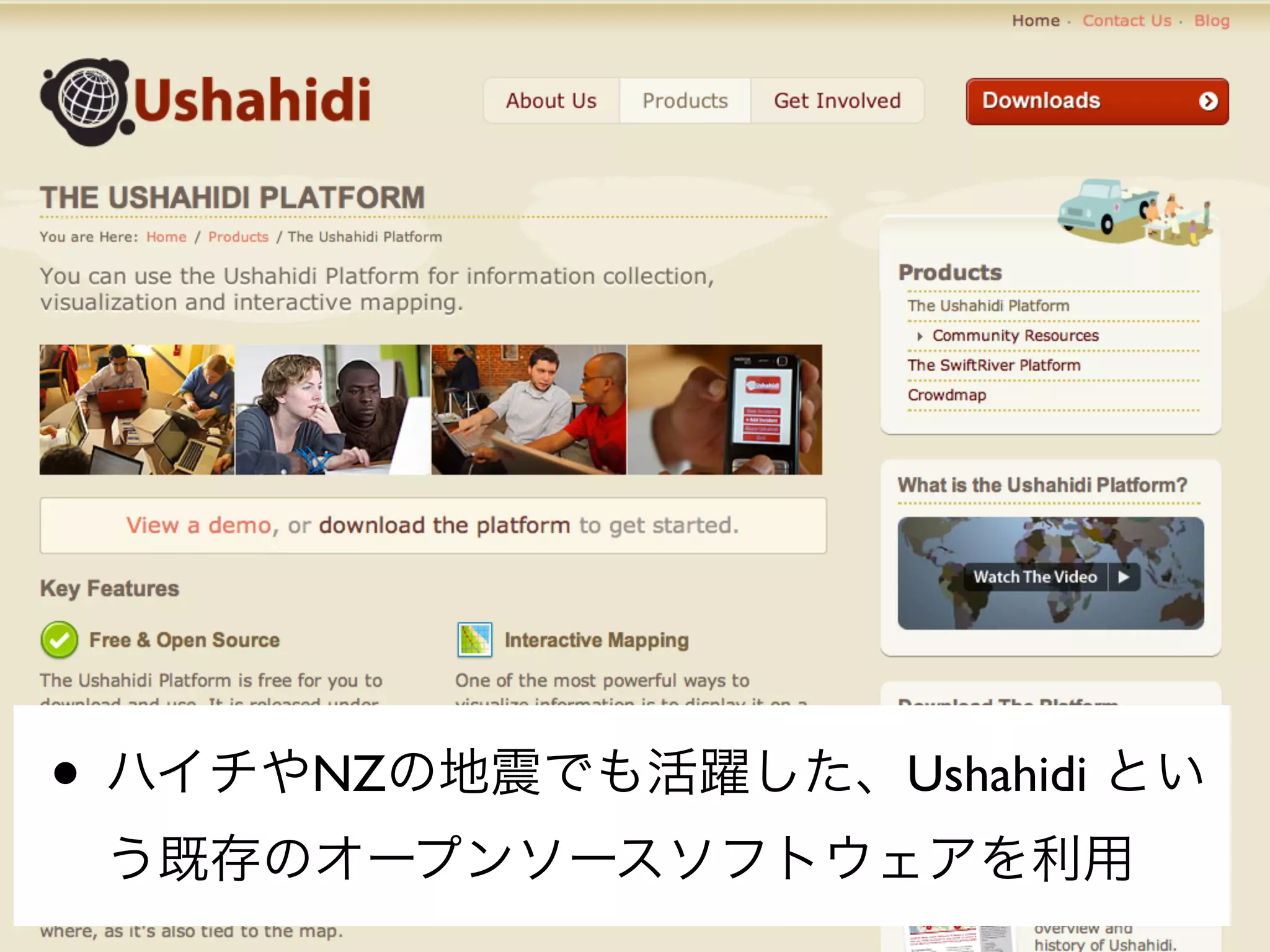
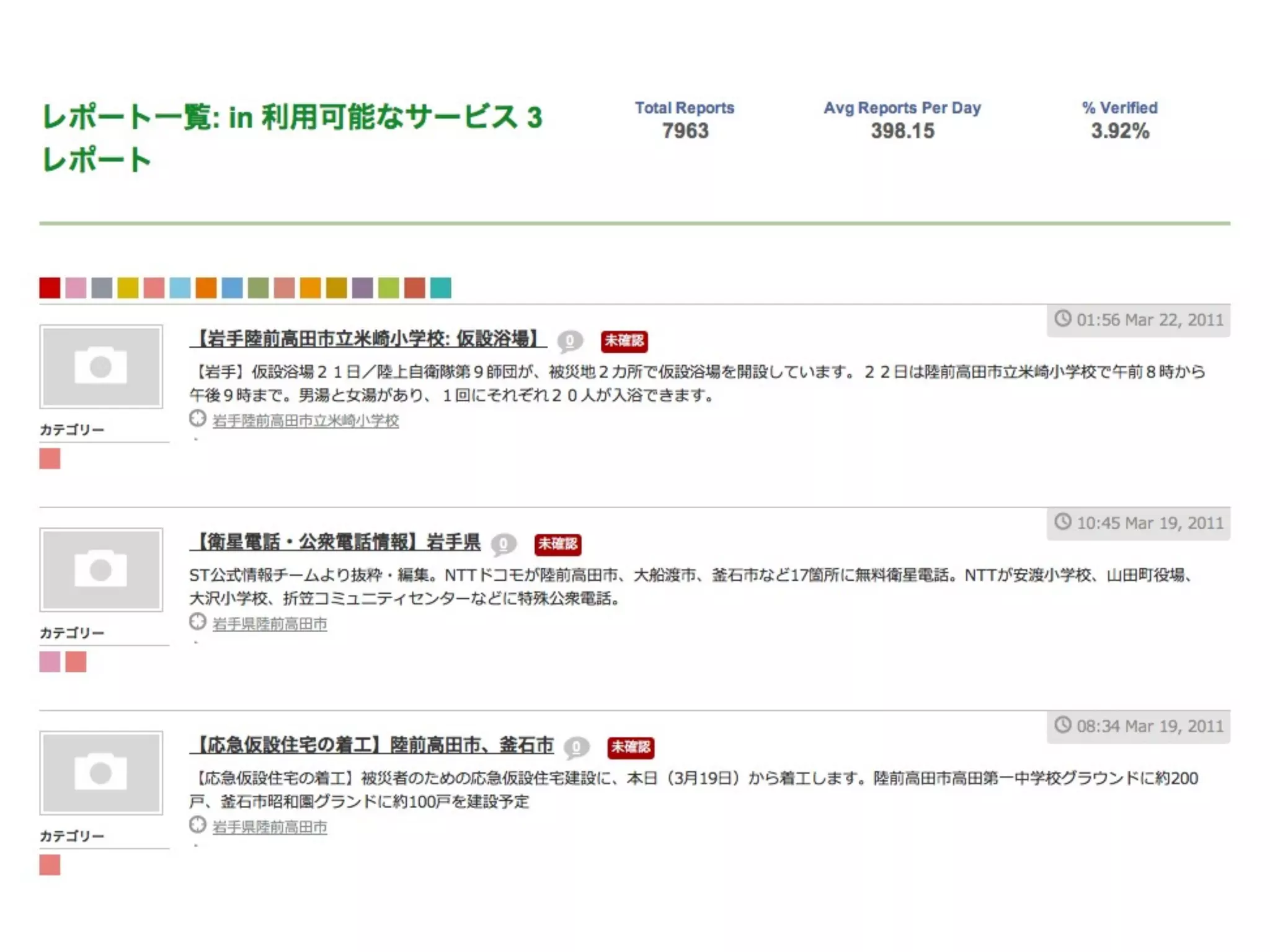


The document discusses OpenStreetMap's efforts to map areas affected by disasters like the 2010 Haiti earthquake. It provides details on how OSM mappers traced satellite imagery to map roads and buildings, and describes how the Ushahidi platform was used to crowdsource crisis information in Haiti and later in New Zealand. The document also compares OSM to other mapping platforms and notes OSM's open and collaborative nature. It highlights OSM's role in mapping areas affected by the 2011 Japan earthquake and tsunami.


