Download to read offline
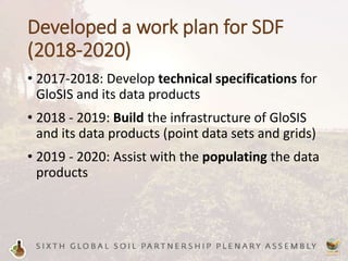
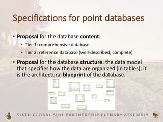
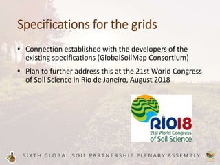
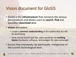
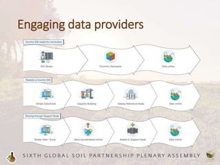
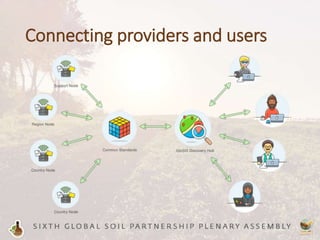
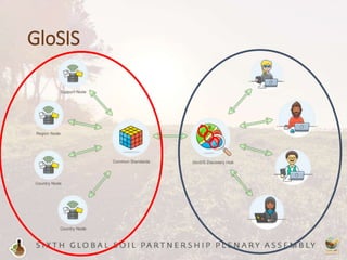
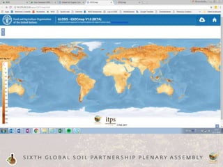
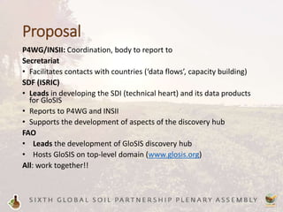

The document outlines Rik van den Bosch's work plan for developing the Soil Data Facility (SDF) from 2018-2020. Key aspects of the plan include developing technical specifications for the Global Soil Information System (GloSIS) and its data products from 2017-2018, building GloSIS infrastructure and populating data products from 2018-2020. It also discusses specifications for GloSIS point databases and grids, a vision document outlining GloSIS, engaging data providers, and connecting providers and users. The document proposes roles for various organizations in developing GloSIS, with SDF leading technical development, FAO hosting and developing the discovery hub, and all organizations working together.


