Download to read offline
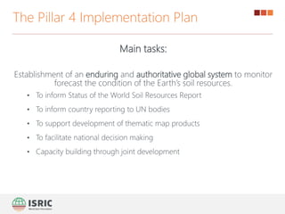
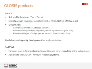
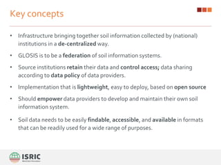
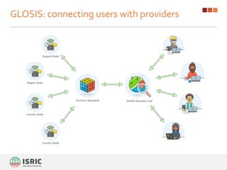
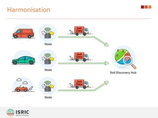
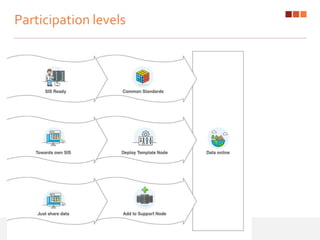

The Global Soil Information System (GloSIS) aims to establish an authoritative system to monitor and forecast the Earth's soil resources, facilitating country reporting to UN bodies and informed decision-making. It features soil profile databases, global grids, and a decentralized infrastructure that allows national institutions to retain control over their data. Implementation is coordinated by the GSP secretariat and various experts, with a focus on standardization and harmonization of soil information from 2017 to 2020.


