Download to read offline
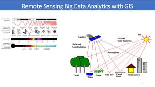
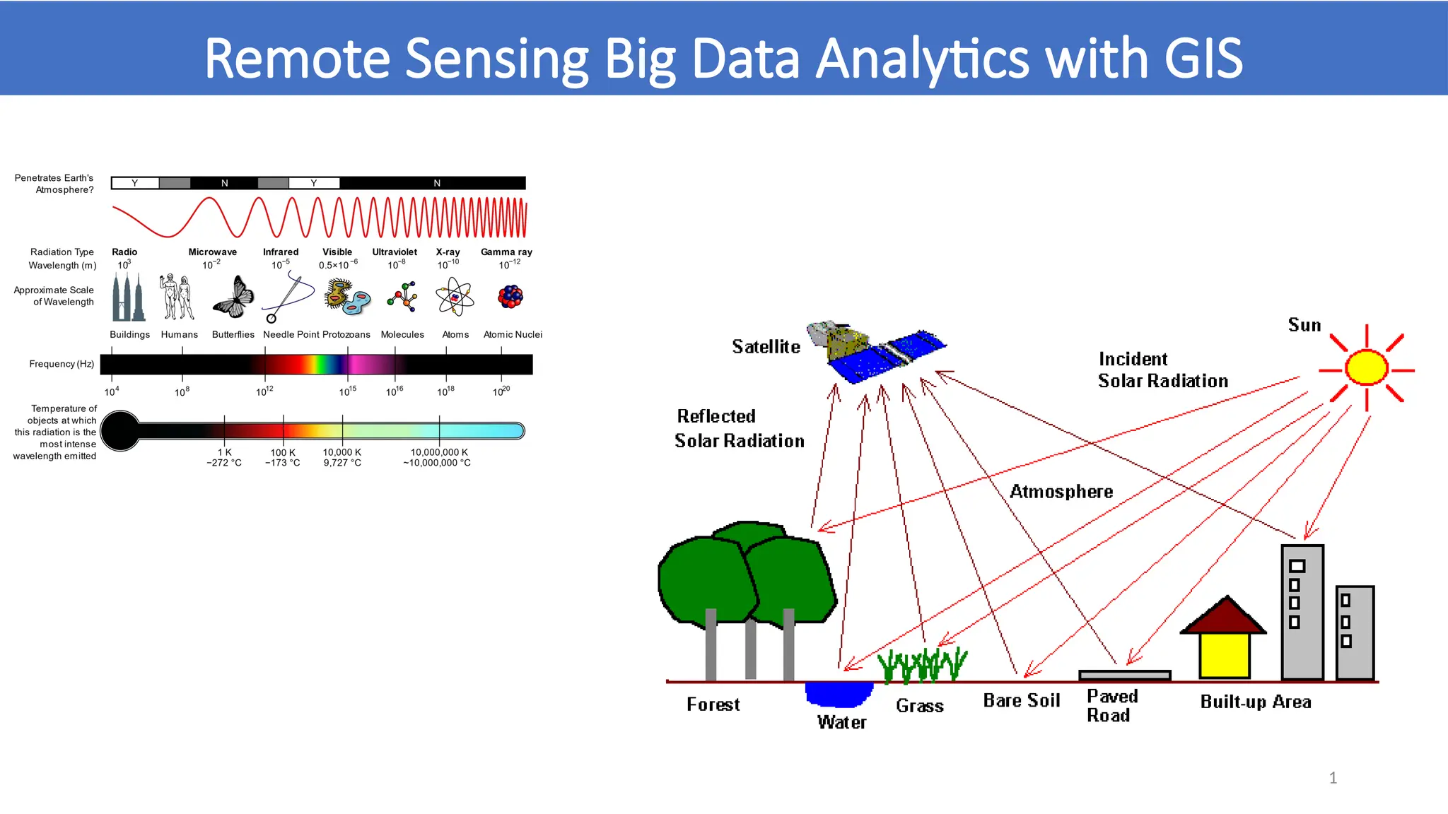
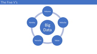
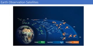
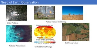
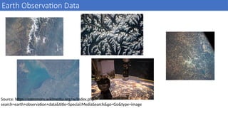
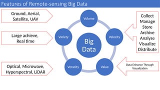
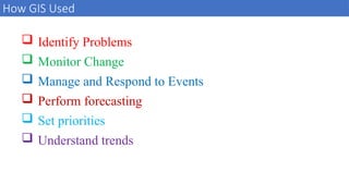
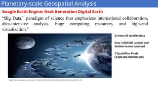
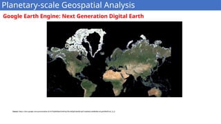
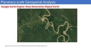


The document discusses the integration of big data analytics with remote sensing and GIS, emphasizing the five V's of big data: volume, velocity, value, veracity, and variety. It highlights the importance of Earth observation data in monitoring natural hazards and climate change, alongside advancements in data collection and analysis methods. Additionally, it introduces tools like Google Earth Engine for conducting planetary-scale geospatial analysis, leveraging extensive satellite data.


