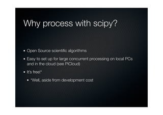
The document discusses raster processing using the SciPy ndimage library, highlighting its open-source nature and suitability for large-scale concurrent processing. It explains how to set up data input and output using arcpy with numpy, and illustrates operations such as calculating median filters, slopes, and focal maximums. The author emphasizes the efficiency and flexibility of ndimage compared to ArcGIS's spatial analyst tools.


![Calculating slope
We can implement a simple slope calculation using generic
filter over a 3x3 footprint
We can use the form as described by the ESRI documentation:
slope = e is atan ( sqrt( [dz/dx]**2 + [dz/dy]**2 ) ) where
[dz/dx] = ((c + 2f + i) - (a + 2d + g) / (8 * x_cellsize)
[dz/dy] = ((g + 2h + i) - (a + 2b + c)) / (8 * y_cellsize))
Slower than a standard ndimage filter, but faster than
arcpy!](https://image.slidesharecdn.com/rasterprocessingwndimage-121001192433-phpapp02/85/Raster-Processing-with-Scipy-ndimage-Dev-Meet-Up-II-8-320.jpg)