Downloaded 203 times

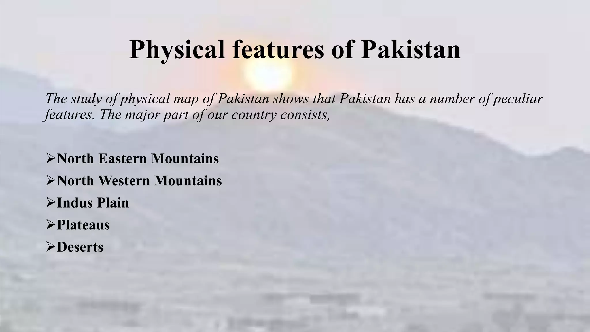
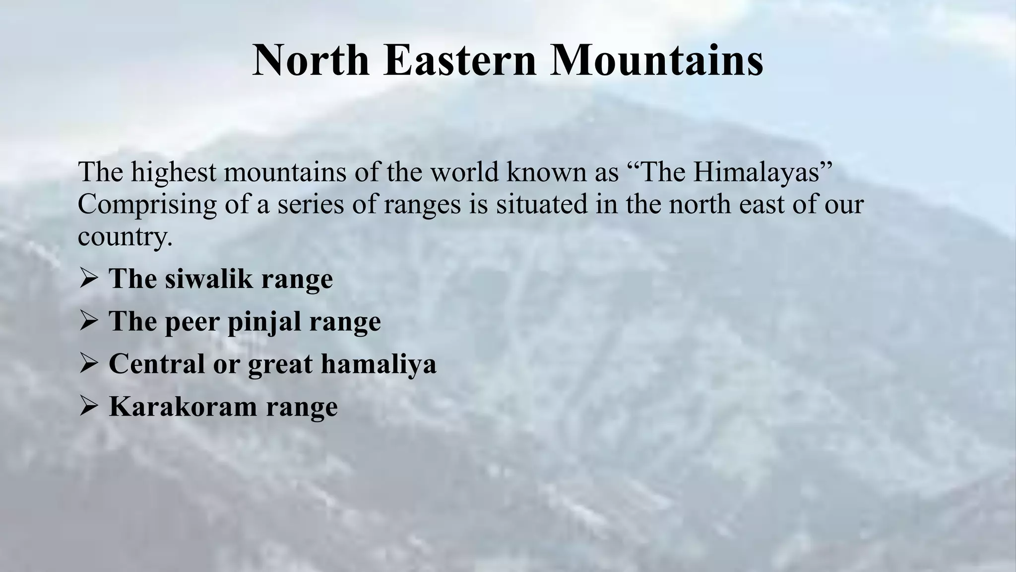


Pakistan has a variety of physical features that include mountain ranges, plains, plateaus, and deserts. The northern parts of the country contain the highest mountains in the world, including the Himalayas and Karakoram Range. Lower mountain ranges are also located in the north and northwest. The Indus River flows through major plains in the north and south and empties into an delta. Additional physical features include the Salt Range plateau in the northeast, Balochistan plateaus in the west, and desert regions including the Thal, Cholistan, Nara, and Tharparkar deserts.