Download to read offline

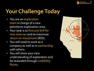
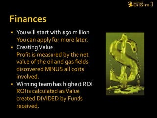

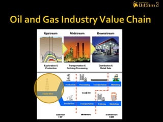
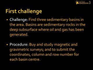


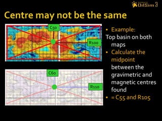
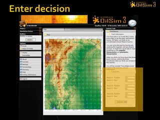
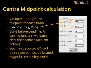

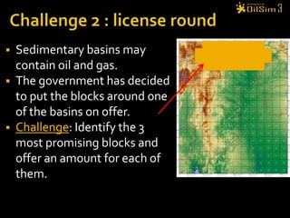
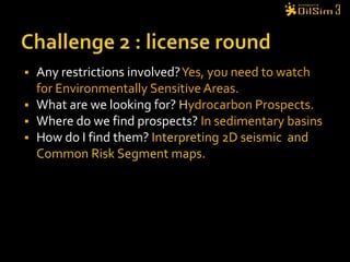


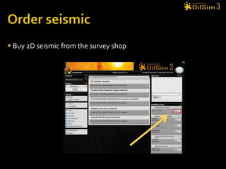
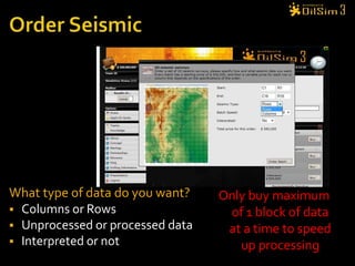
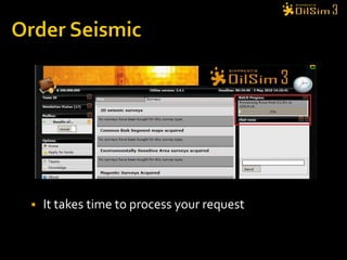
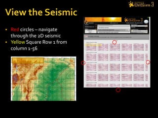


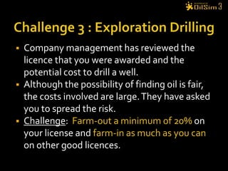
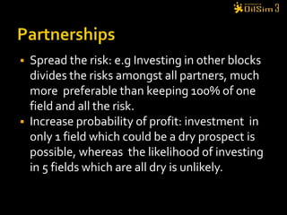
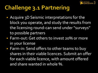


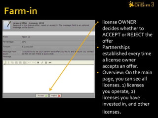
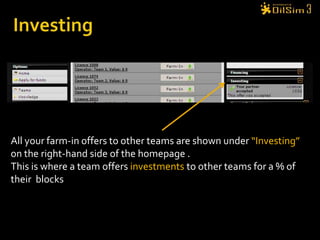
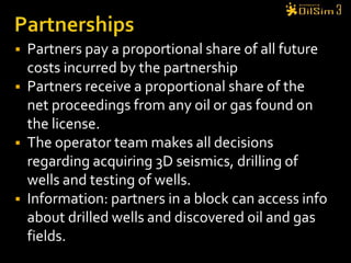
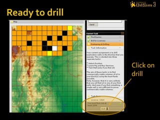


The document provides an overview of an onshore oil and gas exploration simulation. Players take on the role of an exploration team tasked with finding and drilling for reserves to maximize return on investment. The simulation involves completing challenges such as identifying sedimentary basins using surveys, bidding on exploration licenses, and partnering with other teams to share risks and costs. Players can earn credibility points for correct decisions which are considered when applying for funds or bidding on blocks. The goal is to learn about the key stages and decisions involved in onshore oil and gas exploration.


