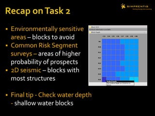
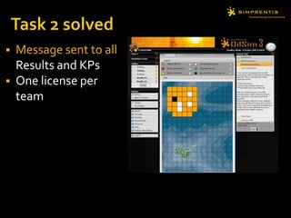
Download to read offline

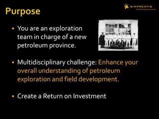
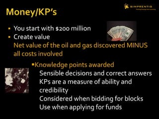
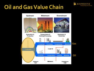


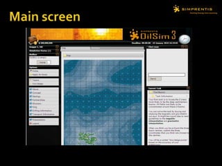
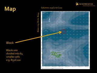
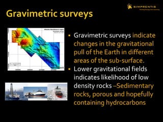
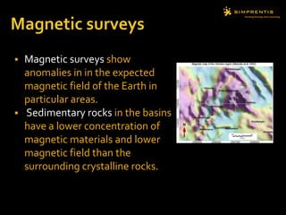
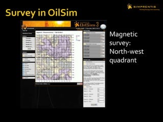
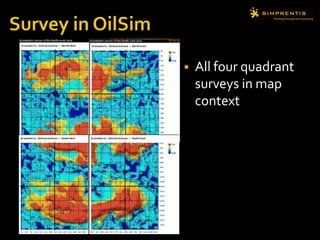

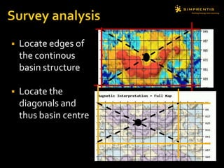
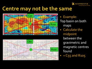

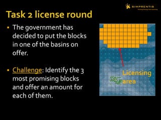

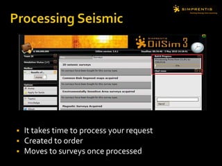


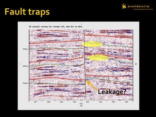

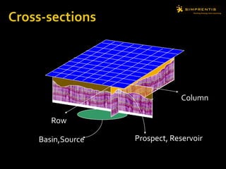
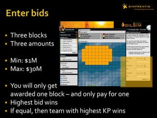

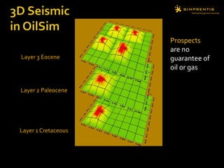
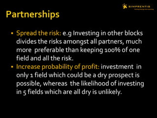
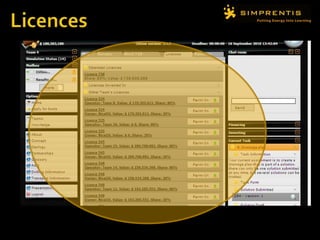
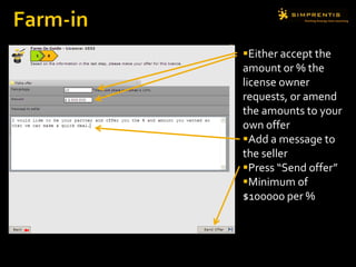


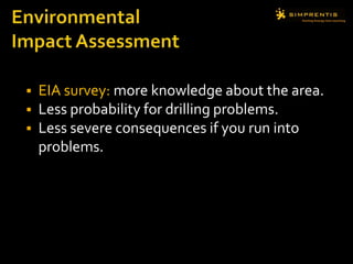
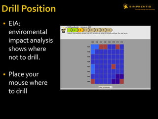

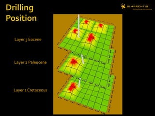
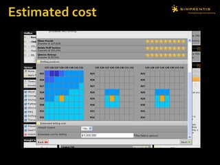
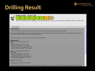
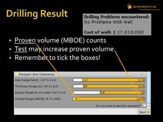
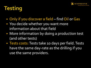
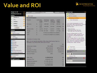


The document provides an introduction to an oil and gas exploration simulation game. Players take on the role of an exploration team with $200 million to discover and develop oil and gas fields. The challenges involve identifying sedimentary basins using surveys, bidding on exploration licenses, acquiring partnerships by farming-in and farming-out license shares, drilling exploration wells using rigs and service providers, and calculating the value of any discovered resources. Players earn knowledge points based on their decisions that can be used to bid on future blocks and funding.


