Download to read offline
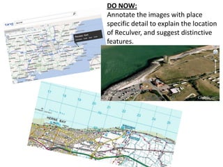
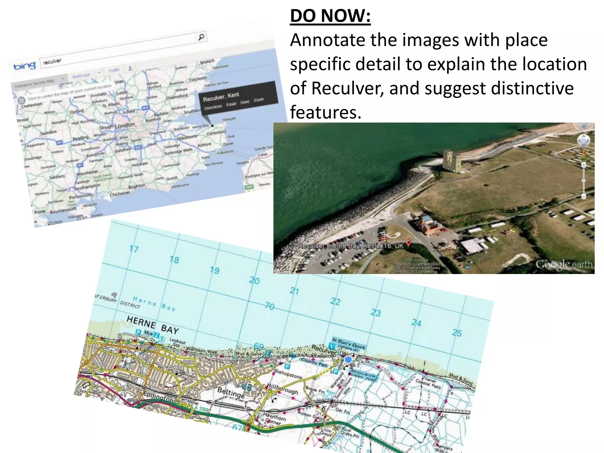
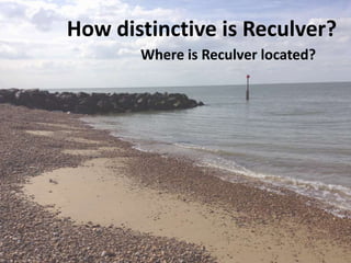
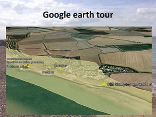


This document provides guidance for students on conducting a geographical inquiry into the distinctive features of Reculver, a location in England. It outlines the key parts of the inquiry: 1) Setting the scene by making detailed predictions about distinctive features based on evidence from maps, satellite images, and geographical knowledge. This includes describing the location. 2) Using a variety of appropriate techniques and technologies during fieldwork to collect evidence, such as photographs, surveys, and measurements. 3) Presenting data in complex diagrams and maps, and analyzing the evidence in detail to draw a substantiated conclusion regarding what makes Reculver distinctive. Evaluating the success of the inquiry and considering limitations. The document provides assessment criteria


