Download to read offline

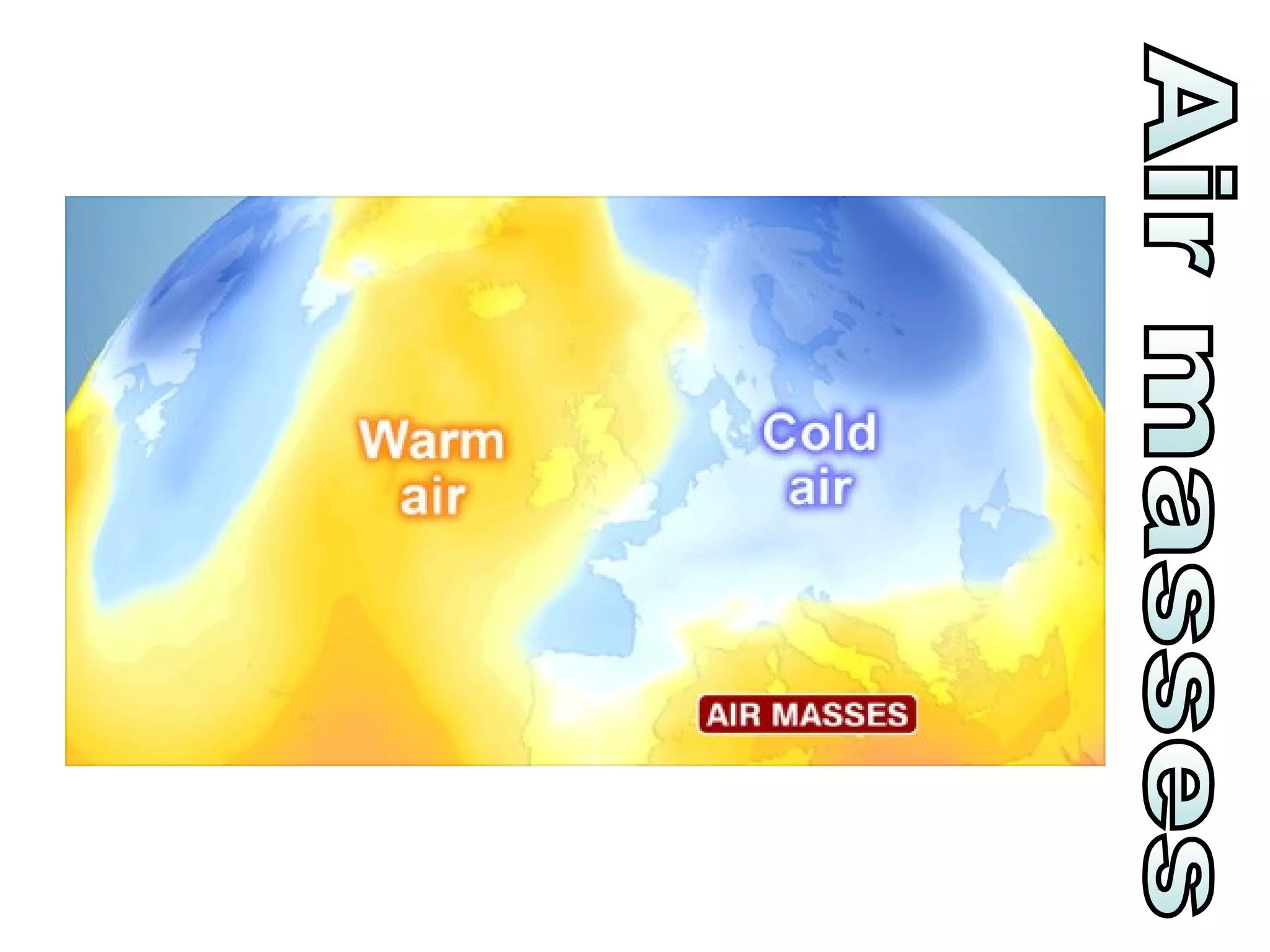
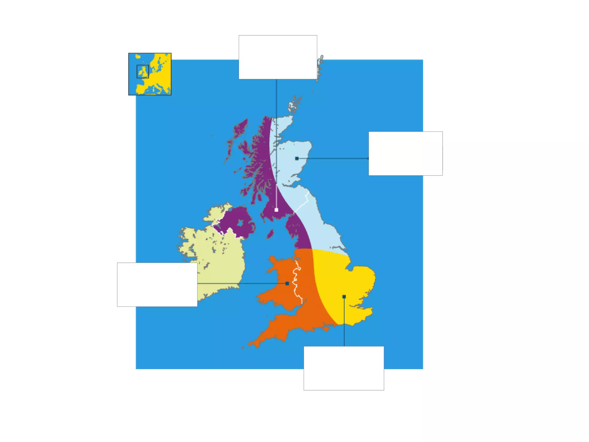


The document provides instructions for an activity where students create characters representing different air masses and place them on a map of the British Isles. They are told to shade each character according to the air temperature, add appropriate clothing, and symbols showing wind and precipitation. Students are then instructed to glue a map to their page, stick the characters in the correct locations, draw arrows indicating the direction of each air mass, and write descriptions of how each air mass affects the weather and climate.


