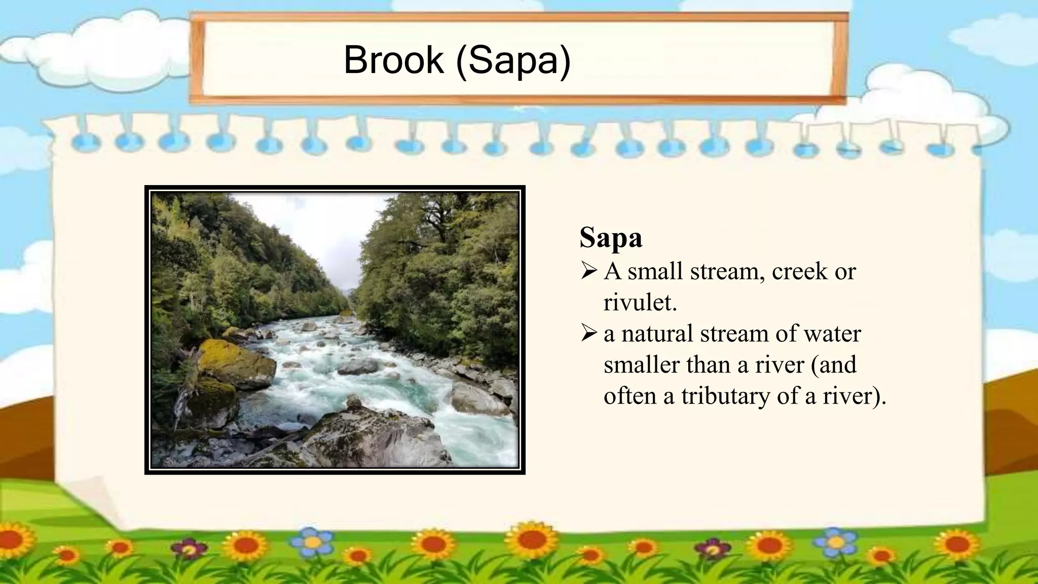
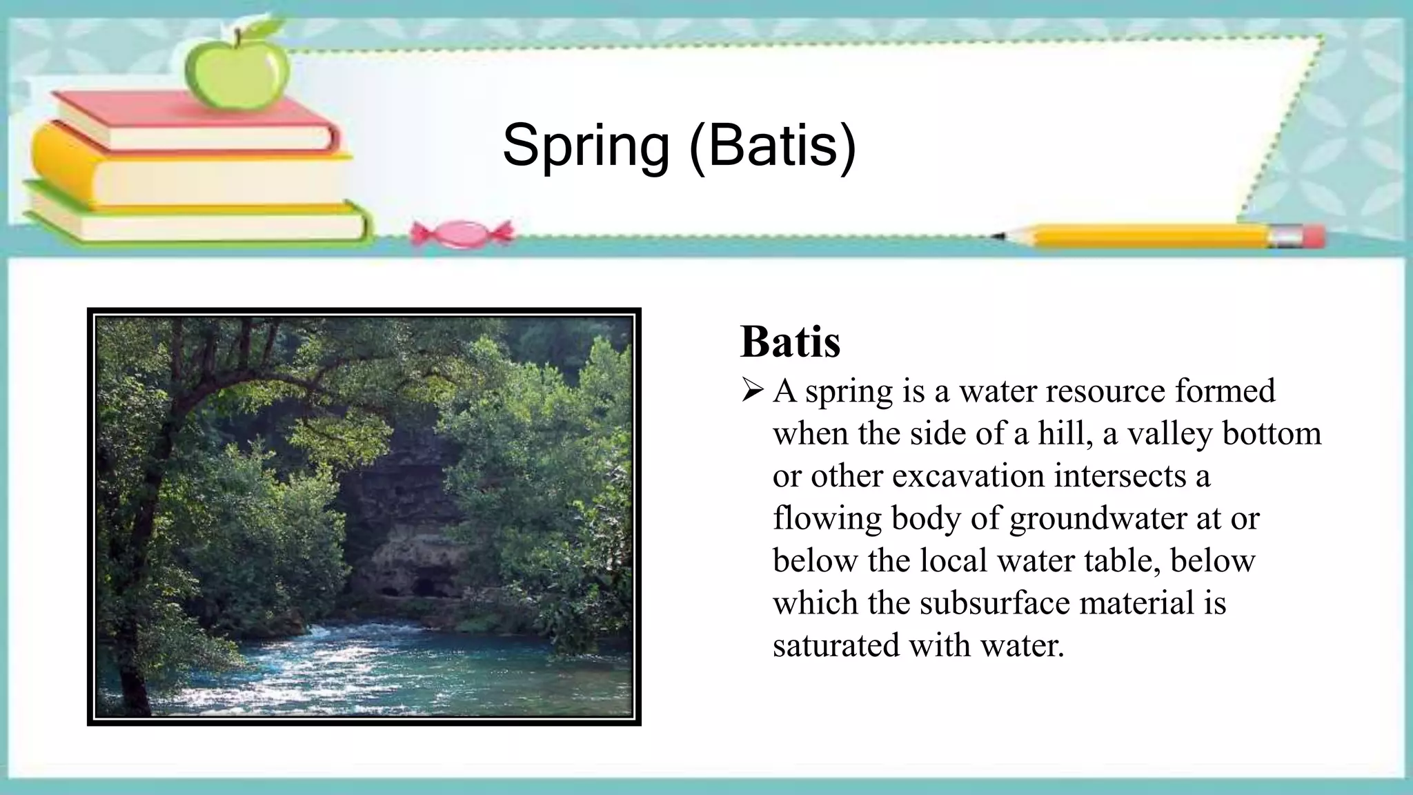
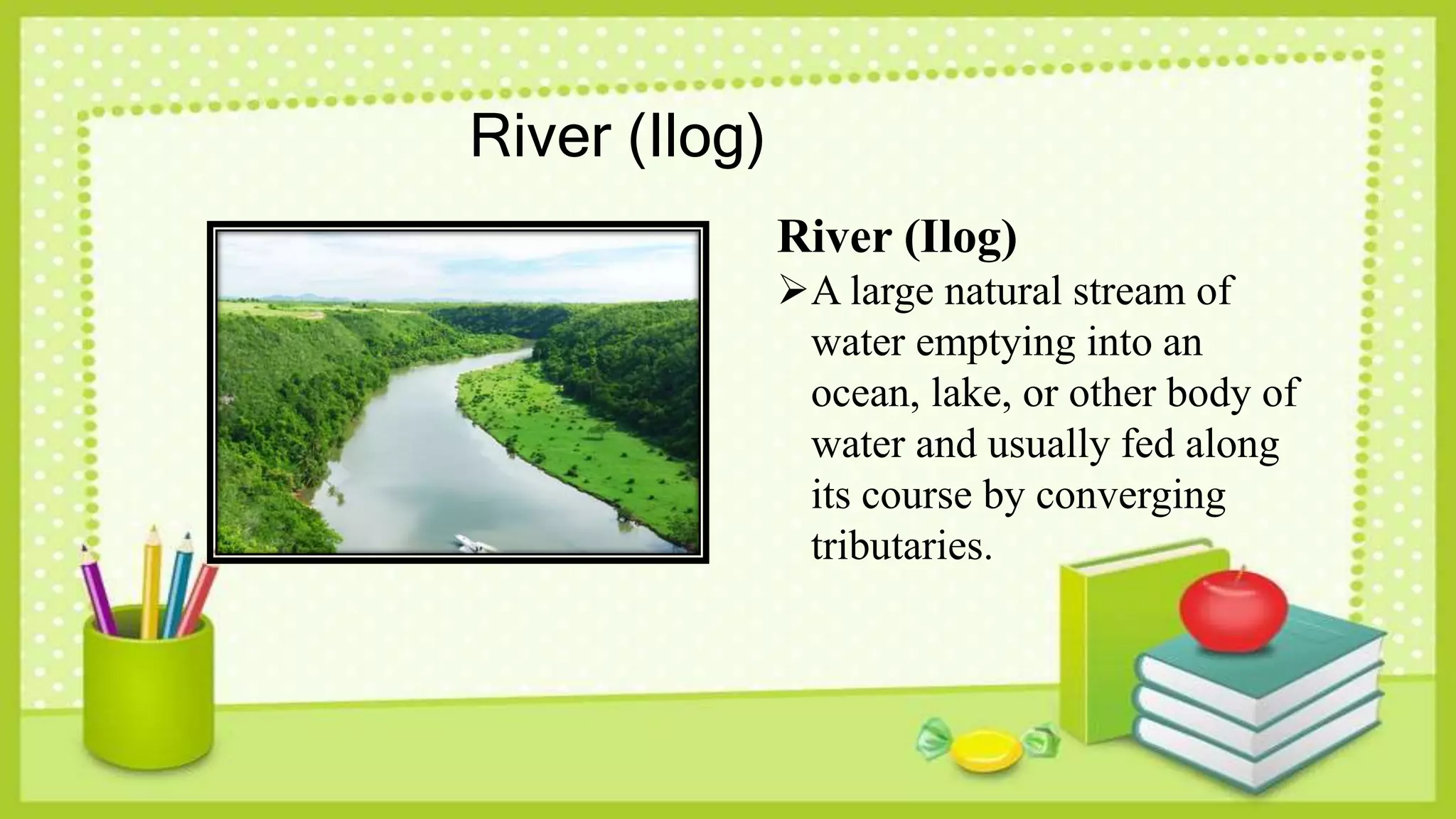
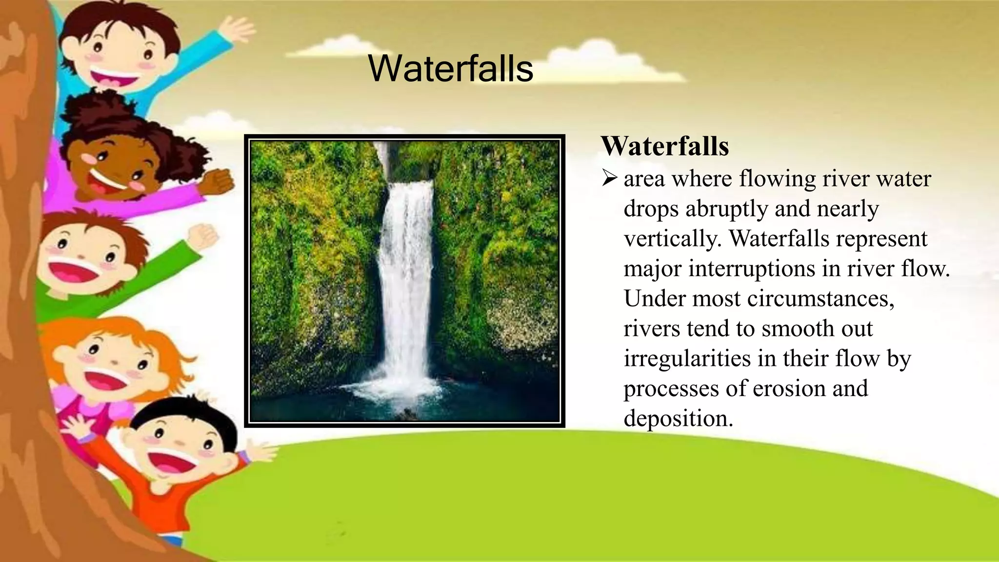
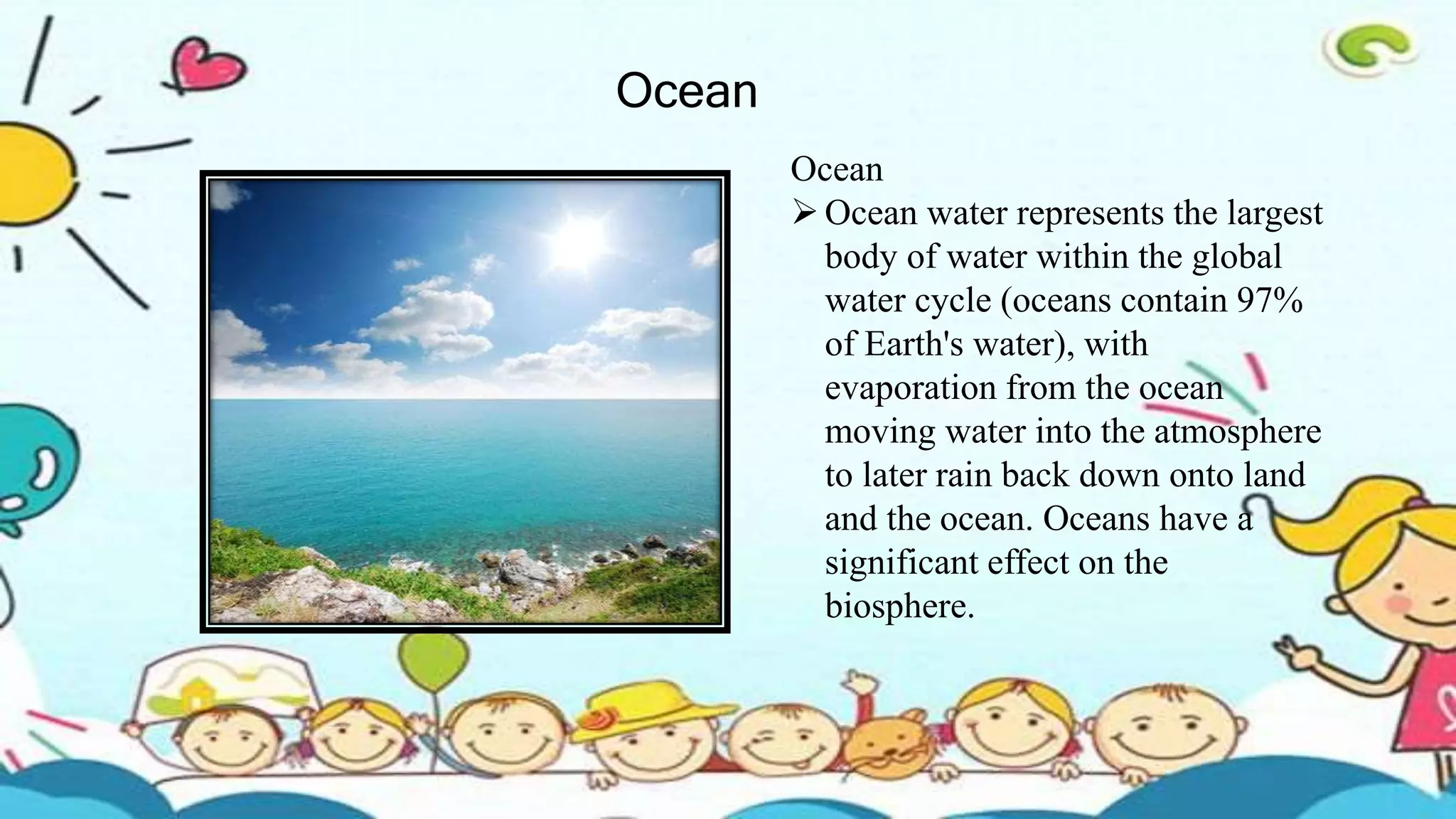
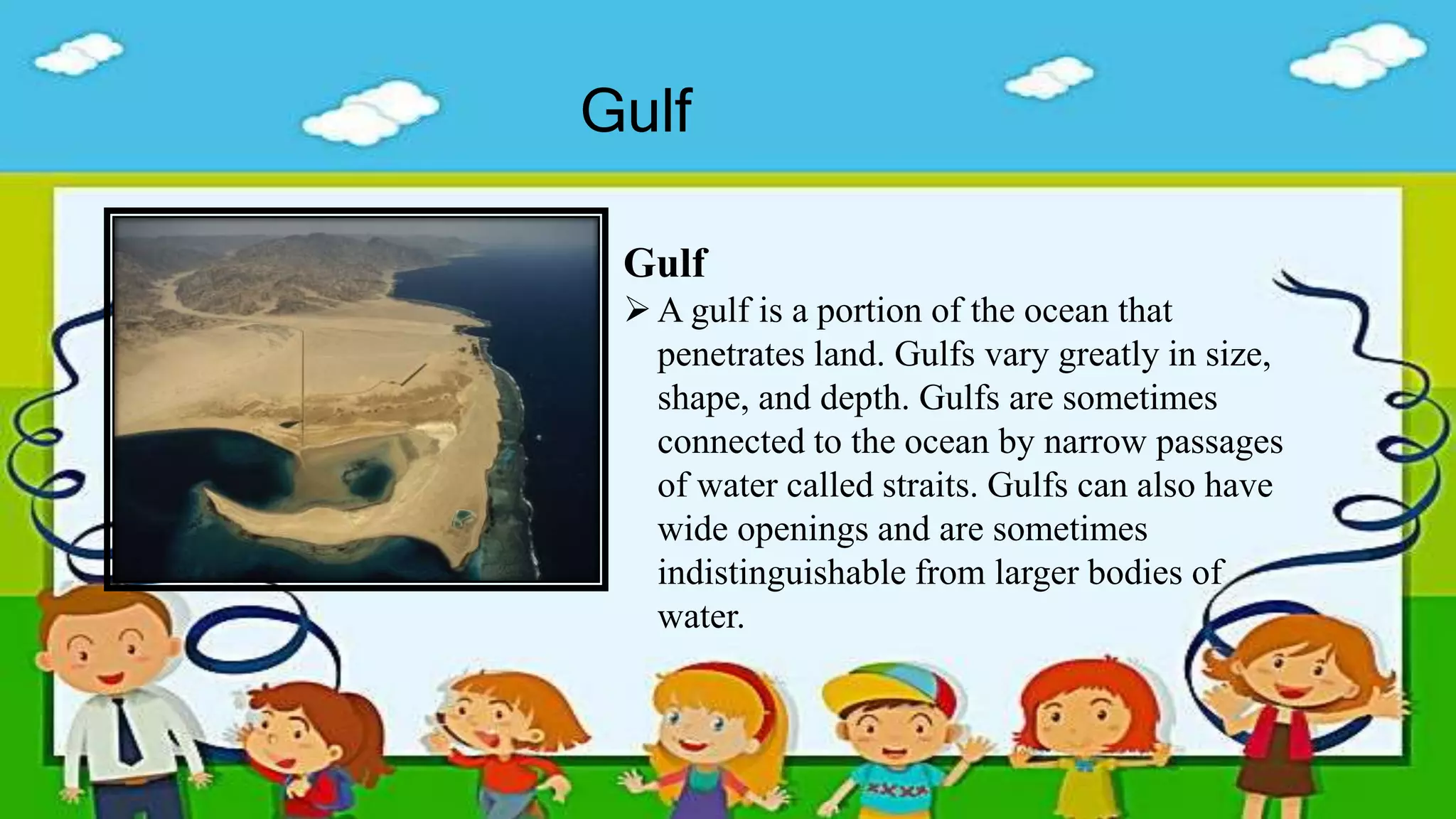
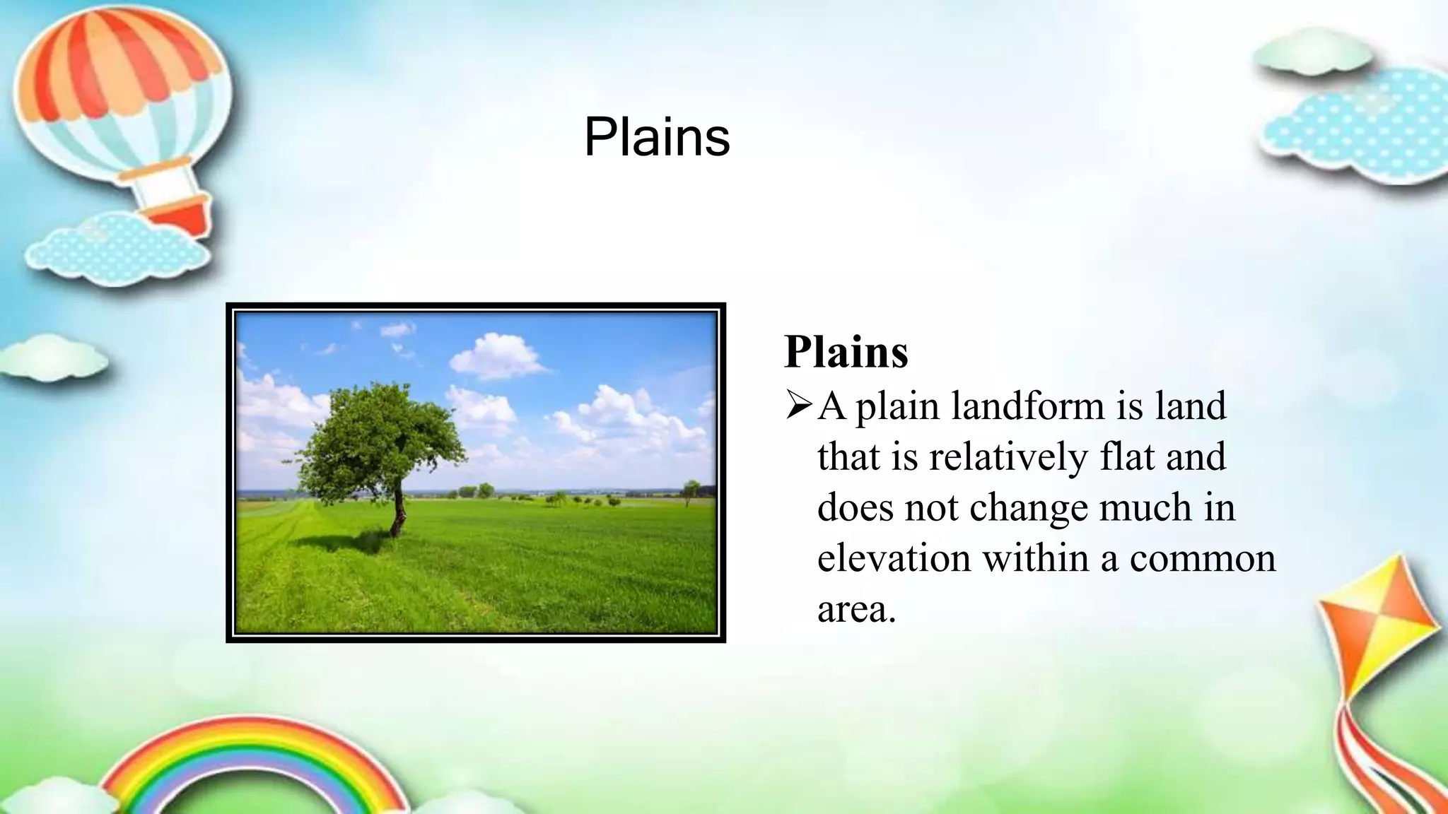
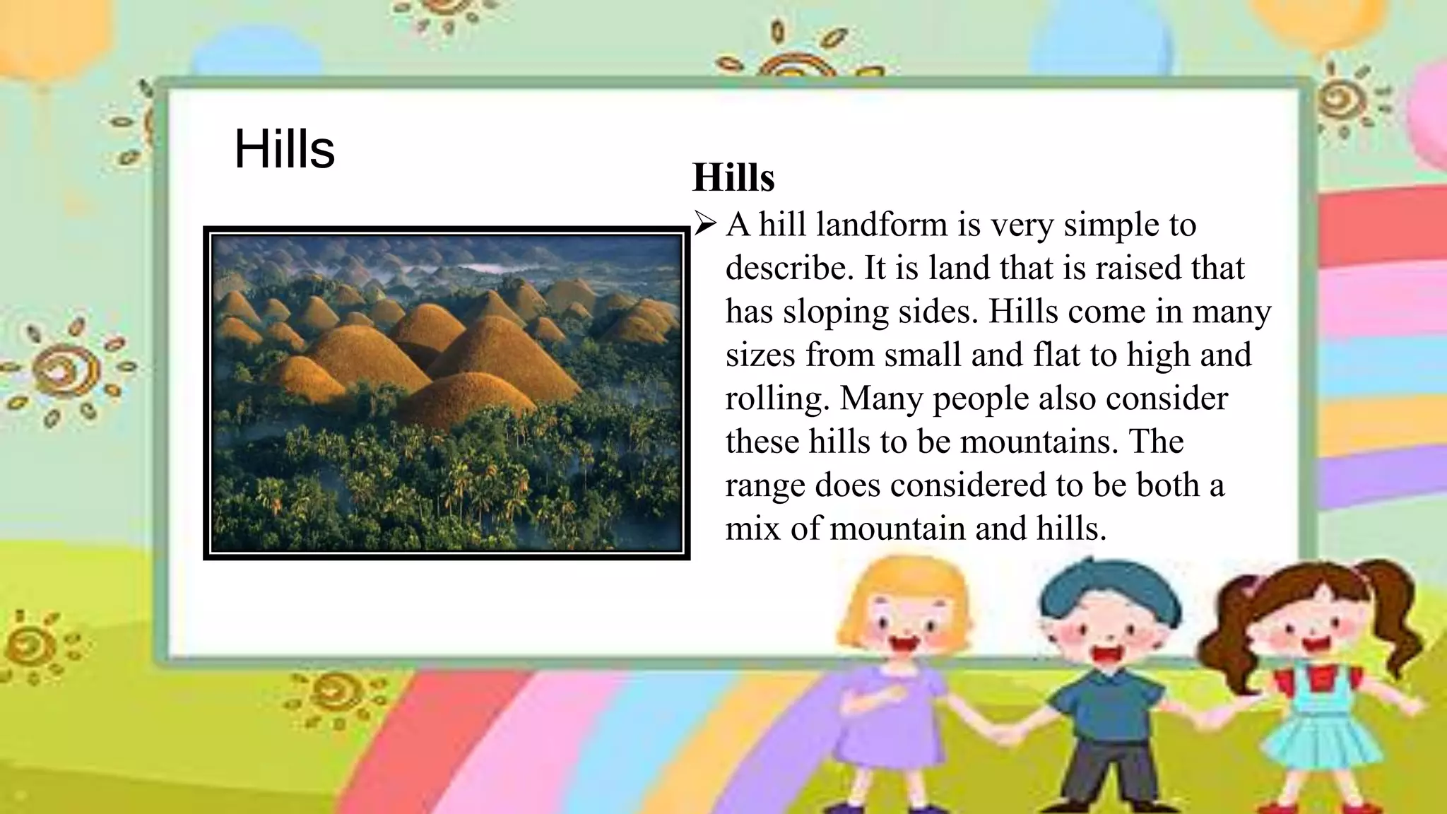
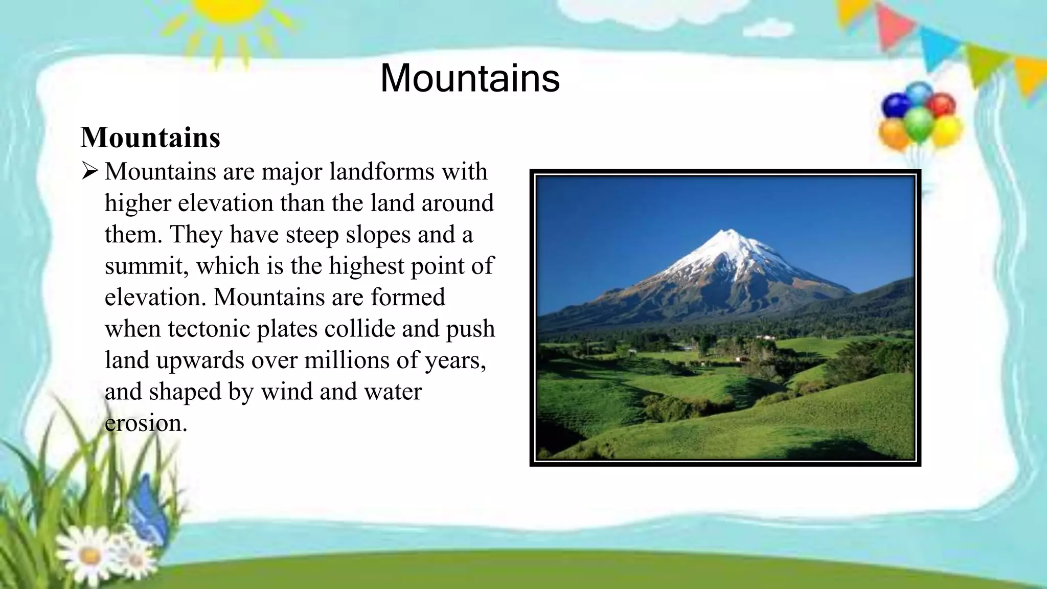
Water Forms and
Land Forms
In the Philippines
Prepared by: Angilou G. Banag
Water Forms
Brook (Sapa)
Sapa
A small stream, creek or
rivulet.
a natural stream of water
smaller than a river (and
often a tributary of a river).
Spring (Batis)
Batis
A spring is a water resource formed
when the side of a hill, a valley bottom
or other excavation intersects a
flowing body of groundwater at or
below the local water table, below
which the subsurface material is
saturated with water.
River (Ilog)
River (Ilog)
A large natural stream of
water emptying into an
ocean, lake, or other body of
water and usually fed along
its course by converging
tributaries.
Lake
Lake
 The water in lakes comes from
rain, snow, melting ice, streams,
and groundwater seepage. Most
lakes contain freshwater. All
lakes are either open or closed. If
water leaves a lake by a river or
other outlet, it is said to be open.
Waterfalls
Waterfalls
area where flowing river water
drops abruptly and nearly
vertically. Waterfalls represent
major interruptions in river flow.
Under most circumstances,
rivers tend to smooth out
irregularities in their flow by
processes of erosion and
deposition.
Ocean
Ocean
Ocean water represents the largest
body of water within the global
water cycle (oceans contain 97%
of Earth's water), with
evaporation from the ocean
moving water into the atmosphere
to later rain back down onto land
and the ocean. Oceans have a
significant effect on the
biosphere.
Bay
Bay
A bay is a body of water
partially surrounded by land.
A bay is usually smaller and
less enclosed than a gulf. The
mouth of the bay, where
meets the ocean or lake, is
typically wider than that of a
gulf.
Gulf
Gulf
A gulf is a portion of the ocean that
penetrates land. Gulfs vary greatly in size,
shape, and depth. Gulfs are sometimes
connected to the ocean by narrow passages
of water called straits. Gulfs can also have
wide openings and are sometimes
indistinguishable from larger bodies of
water.
Land Forms
Plains
Plains
A plain landform is land
that is relatively flat and
does not change much in
elevation within a common
area.
valleys
Valleys
Valleys are the most predominant
landforms on the face of the earth. ... A
valley is a lowland area or depression
found between mountains and hills often
with streams and rivers running through it.
It usually features rounded sides that mimic
a V or a U shape. It's created through
erosion by streams or glacial actions.
Hills Hills
A hill landform is very simple to
describe. It is land that is raised that
has sloping sides. Hills come in many
sizes from small and flat to high and
rolling. Many people also consider
these hills to be mountains. The
range does considered to be both a
mix of mountain and hills.
Mountains
Mountains
Mountains are major landforms with
higher elevation than the land around
them. They have steep slopes and a
summit, which is the highest point of
elevation. Mountains are formed
when tectonic plates collide and push
land upwards over millions of years,
and shaped by wind and water
erosion.
Volcanoes
Volcanoes
A volcano is a landform created during
an event where lava comes out from the
Earth's crust. While volcanoes erupting,
molten lava pushes the ground upwards
until it goes out of the volcanoes vent.
Continuous eruption leaves layers of
lava and makes the volcano higher or
wider.

Land forms and water forms in the Philippines

  • 1.
    Water Forms and LandForms In the Philippines Prepared by: Angilou G. Banag
  • 2.
  • 3.
    Brook (Sapa) Sapa A smallstream, creek or rivulet. a natural stream of water smaller than a river (and often a tributary of a river).
  • 4.
    Spring (Batis) Batis A springis a water resource formed when the side of a hill, a valley bottom or other excavation intersects a flowing body of groundwater at or below the local water table, below which the subsurface material is saturated with water.
  • 5.
    River (Ilog) River (Ilog) Alarge natural stream of water emptying into an ocean, lake, or other body of water and usually fed along its course by converging tributaries.
  • 6.
    Lake Lake  The waterin lakes comes from rain, snow, melting ice, streams, and groundwater seepage. Most lakes contain freshwater. All lakes are either open or closed. If water leaves a lake by a river or other outlet, it is said to be open.
  • 7.
    Waterfalls Waterfalls area where flowingriver water drops abruptly and nearly vertically. Waterfalls represent major interruptions in river flow. Under most circumstances, rivers tend to smooth out irregularities in their flow by processes of erosion and deposition.
  • 8.
    Ocean Ocean Ocean water representsthe largest body of water within the global water cycle (oceans contain 97% of Earth's water), with evaporation from the ocean moving water into the atmosphere to later rain back down onto land and the ocean. Oceans have a significant effect on the biosphere.
  • 9.
    Bay Bay A bay isa body of water partially surrounded by land. A bay is usually smaller and less enclosed than a gulf. The mouth of the bay, where meets the ocean or lake, is typically wider than that of a gulf.
  • 10.
    Gulf Gulf A gulf isa portion of the ocean that penetrates land. Gulfs vary greatly in size, shape, and depth. Gulfs are sometimes connected to the ocean by narrow passages of water called straits. Gulfs can also have wide openings and are sometimes indistinguishable from larger bodies of water.
  • 11.
  • 12.
    Plains Plains A plain landformis land that is relatively flat and does not change much in elevation within a common area.
  • 13.
    valleys Valleys Valleys are themost predominant landforms on the face of the earth. ... A valley is a lowland area or depression found between mountains and hills often with streams and rivers running through it. It usually features rounded sides that mimic a V or a U shape. It's created through erosion by streams or glacial actions.
  • 14.
    Hills Hills A hilllandform is very simple to describe. It is land that is raised that has sloping sides. Hills come in many sizes from small and flat to high and rolling. Many people also consider these hills to be mountains. The range does considered to be both a mix of mountain and hills.
  • 15.
    Mountains Mountains Mountains are majorlandforms with higher elevation than the land around them. They have steep slopes and a summit, which is the highest point of elevation. Mountains are formed when tectonic plates collide and push land upwards over millions of years, and shaped by wind and water erosion.
  • 16.
    Volcanoes Volcanoes A volcano isa landform created during an event where lava comes out from the Earth's crust. While volcanoes erupting, molten lava pushes the ground upwards until it goes out of the volcanoes vent. Continuous eruption leaves layers of lava and makes the volcano higher or wider.