Download to read offline

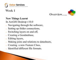

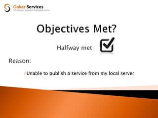


The document outlines Nelson Gakuru's objectives, learnings, and progress for GIS software training over three periods from 8th to 29th. The objectives were to develop proficiency in GIS software like ArcGIS Desktop and applications, learn mapping terms and how to create basic maps. New skills learned included navigating ArcGIS Desktop, creating geodatabases and data layers. Later objectives focused on exporting data, online map editors, and publishing web maps. The final period objectives involved more complex web maps, ArcGIS Server services, but the goal of publishing a local server service was only partially met due to server issues.


![mosaci Caching Maps and Vector Tile Layers Best Practices tw_1765-371[1] .pptx](https://cdn.slidesharecdn.com/ss_thumbnails/mosacicachingmapsandvectortilelayersbestpracticestw1765-3711-240715032039-75c41496-thumbnail.jpg?width=640&height=640&fit=bounds)


![5G Explained! A High Level Overview [Introduction]](https://cdn.slidesharecdn.com/ss_thumbnails/5gexplainedahighleveloverview-260119165306-cc137a3e-thumbnail.jpg?width=640&height=640&fit=bounds)


