Downloaded 477 times
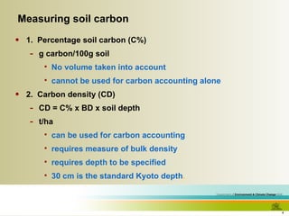
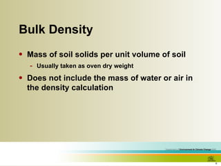
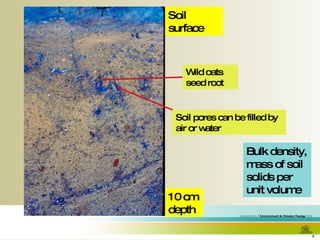
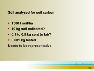
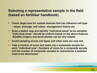
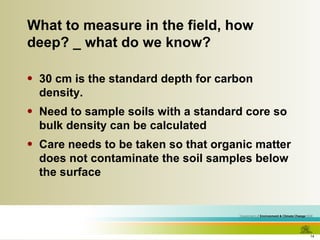
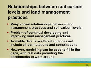
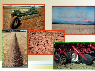
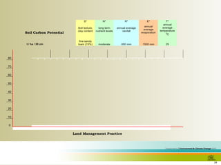
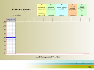
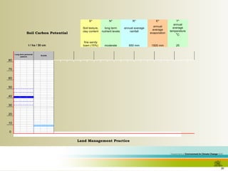
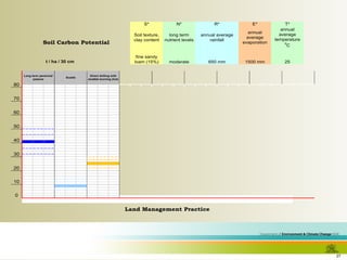
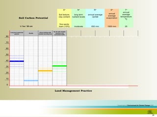
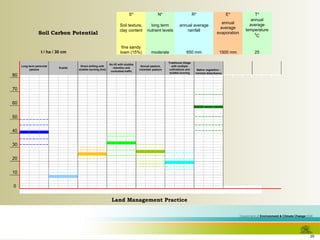
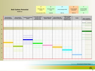
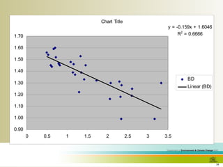
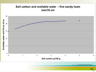
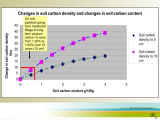

The document discusses methodologies for estimating soil carbon levels, emphasizing the need for accurate measurements and the significance of relationships between soil properties and land management practices. Key methods include calculating carbon density using bulk density and depth, while also considering sampling techniques and compositing for representative analysis. Challenges such as cost and the variability of data highlight the importance of utilizing existing soil science to improve carbon management strategies.


