Download as PDF, PPTX

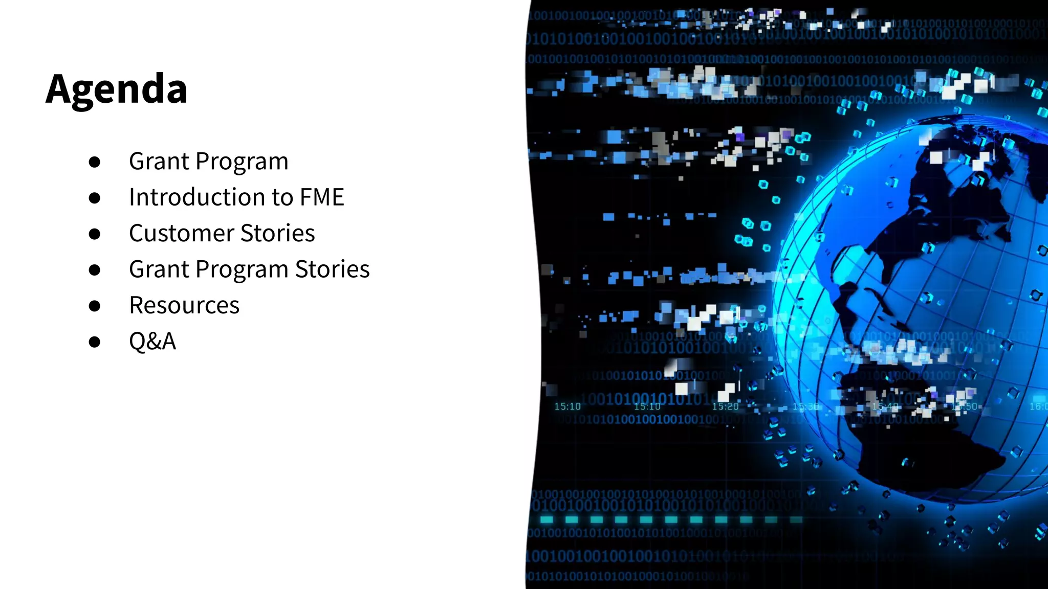
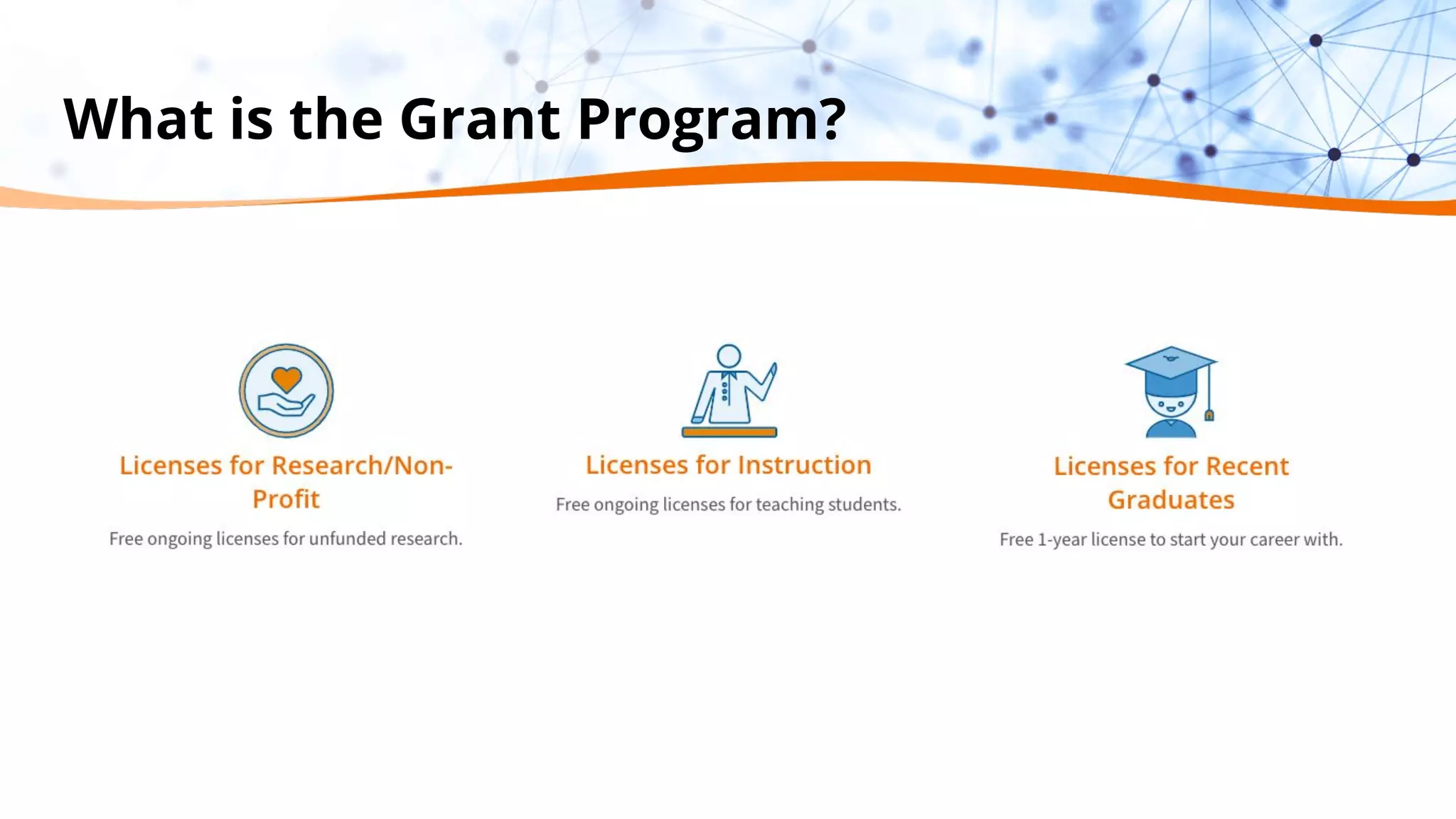
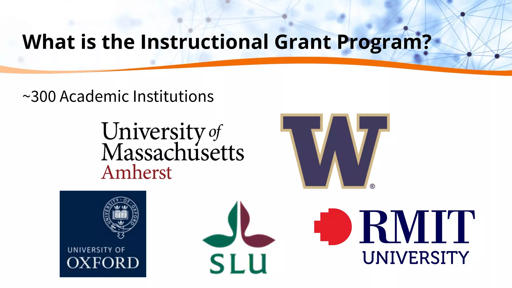
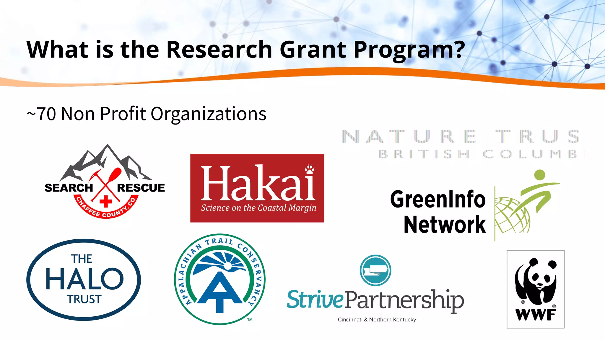
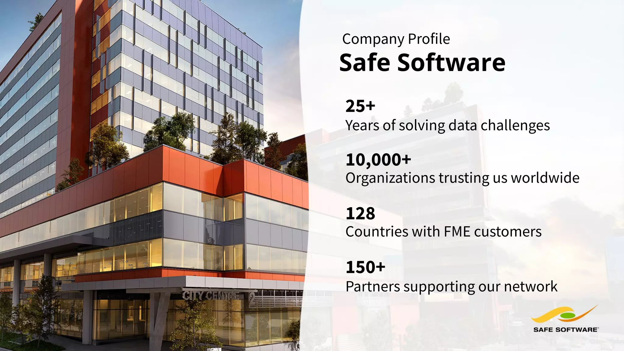
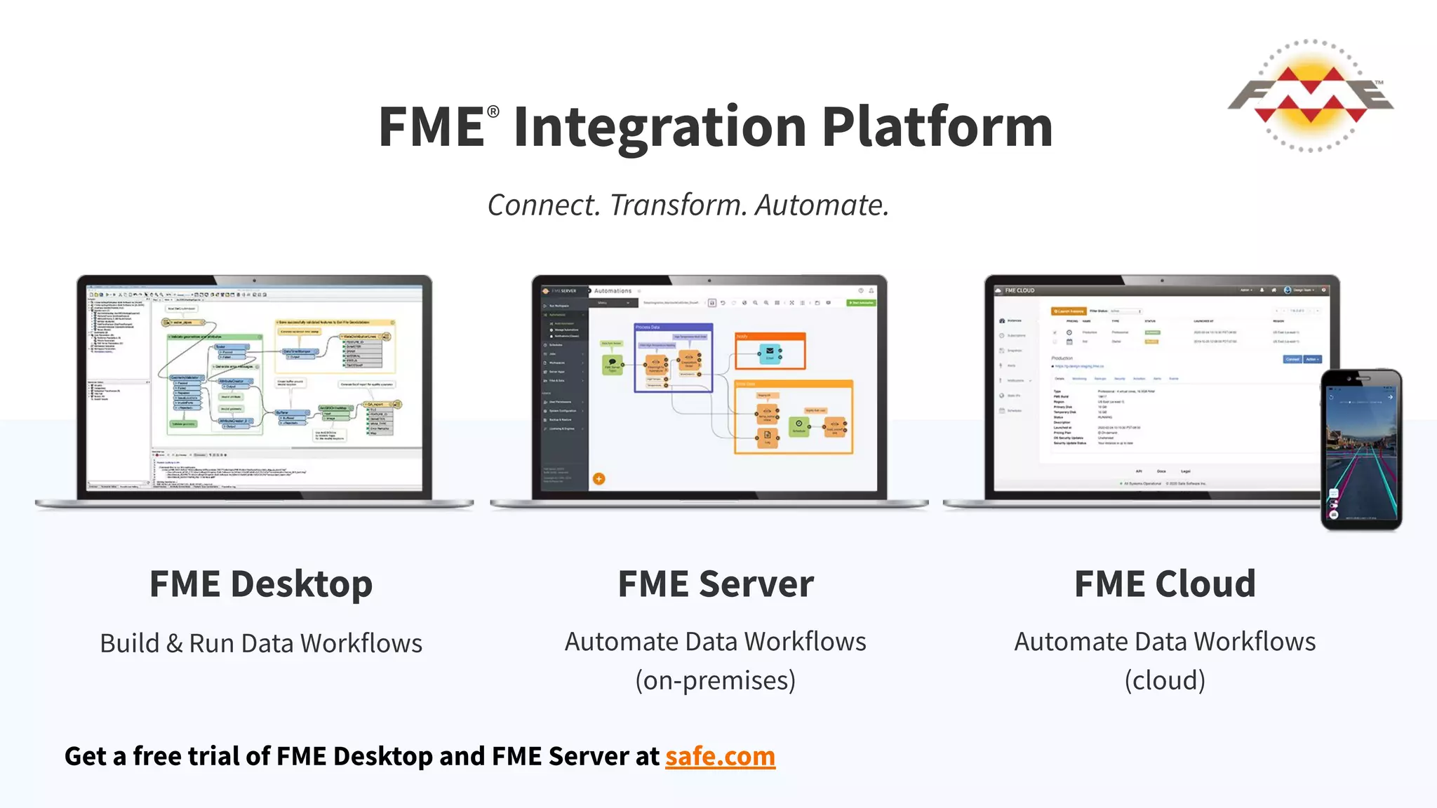
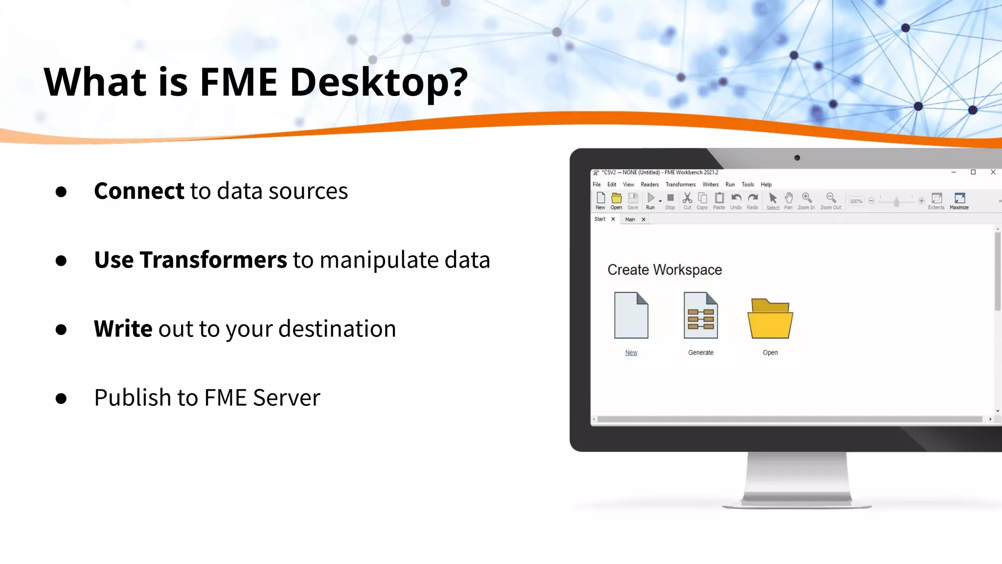
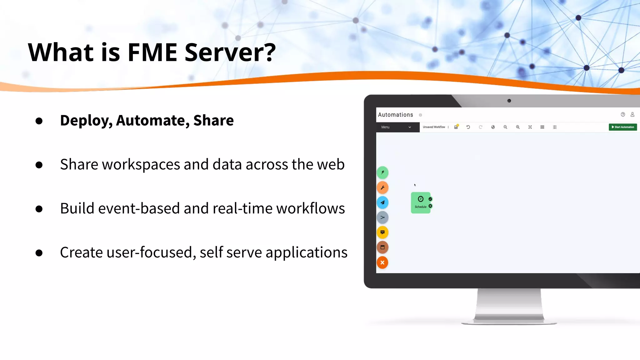
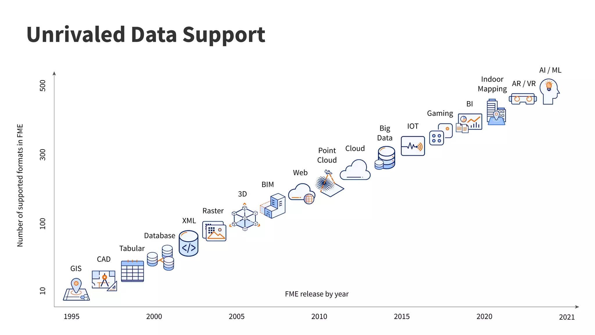
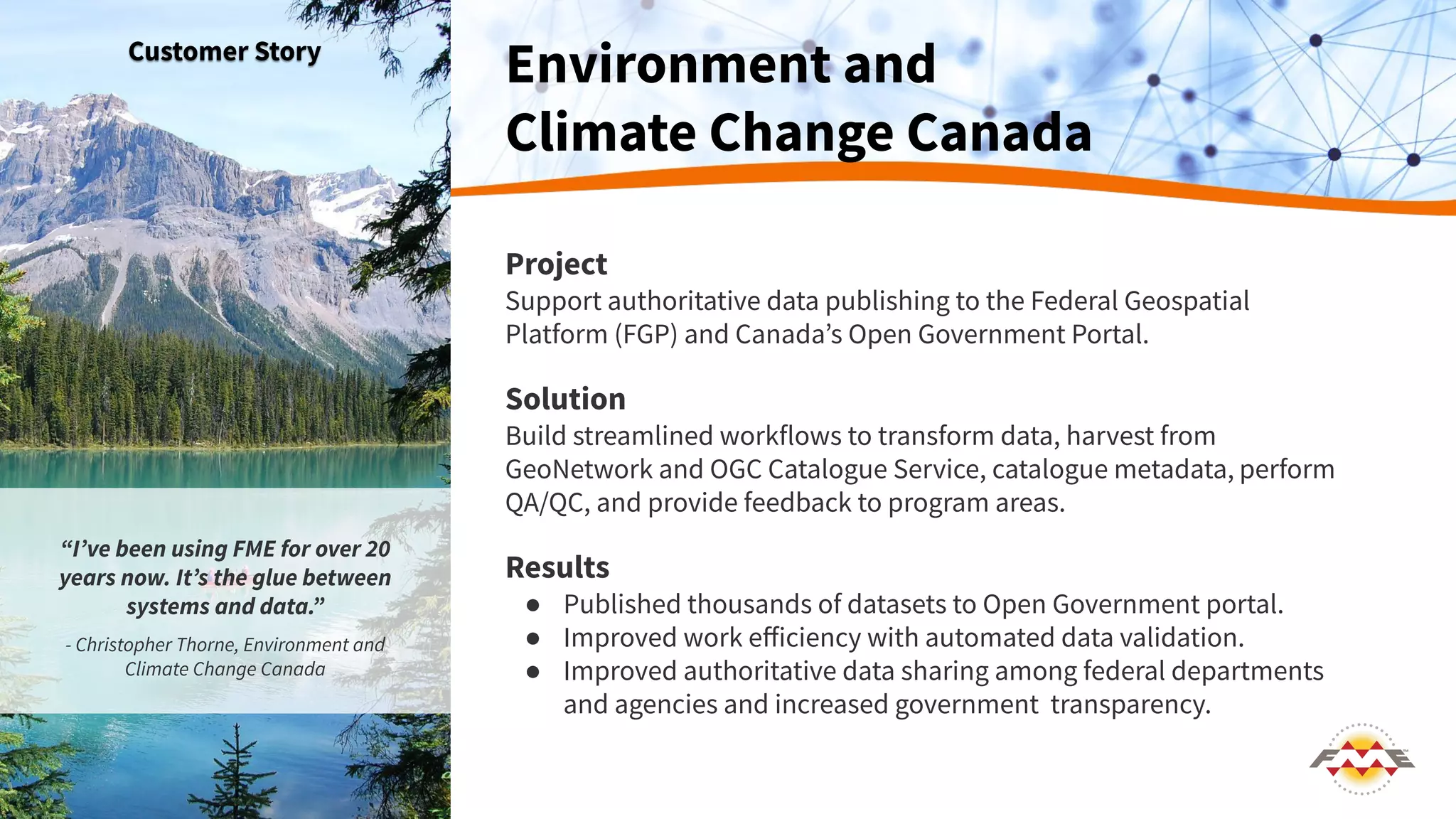
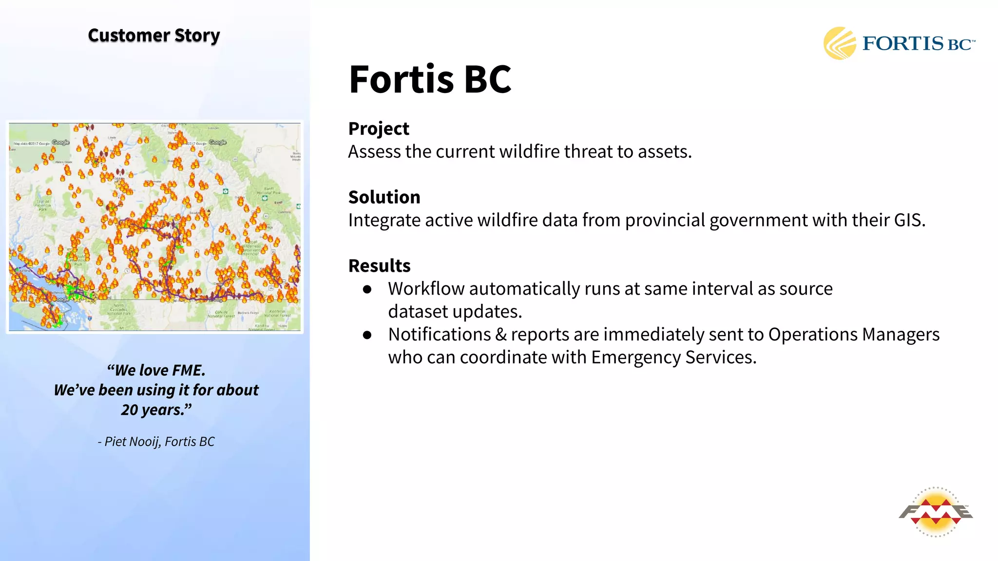
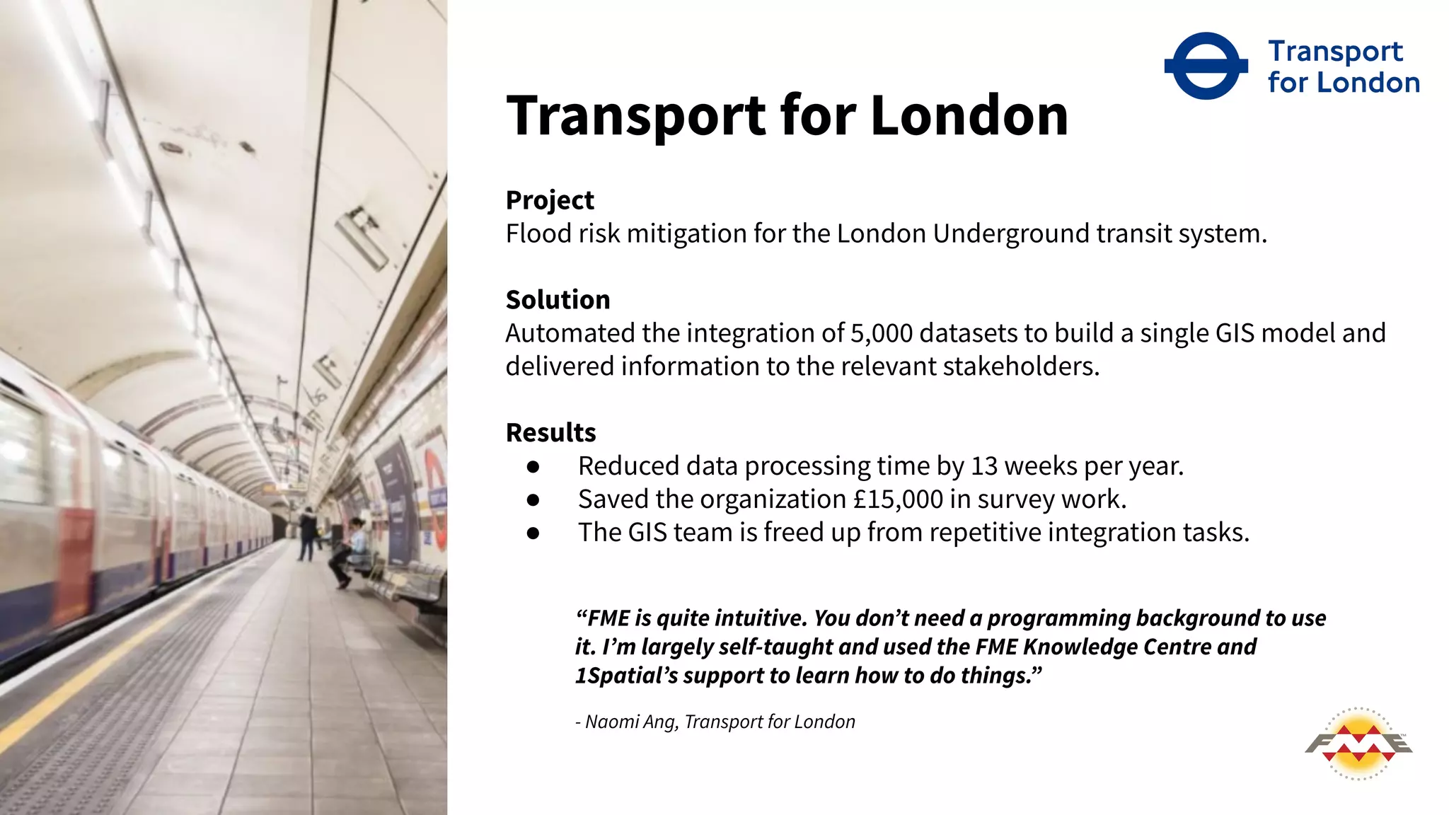
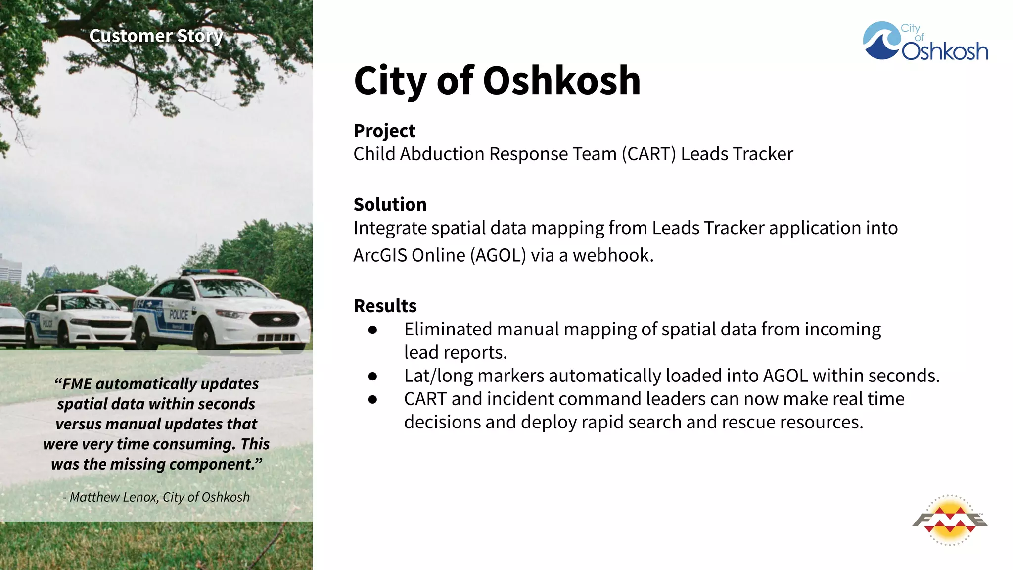
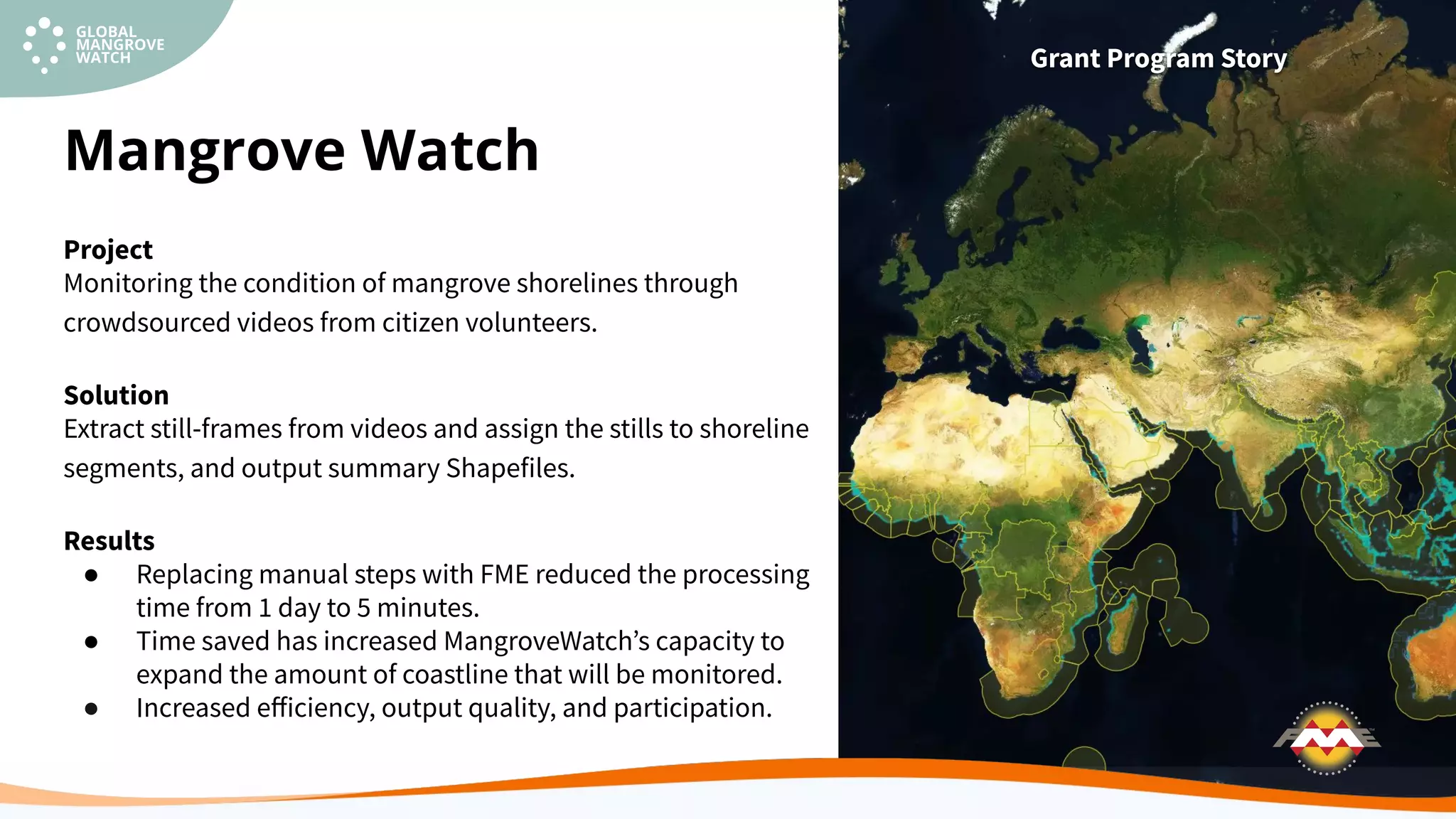
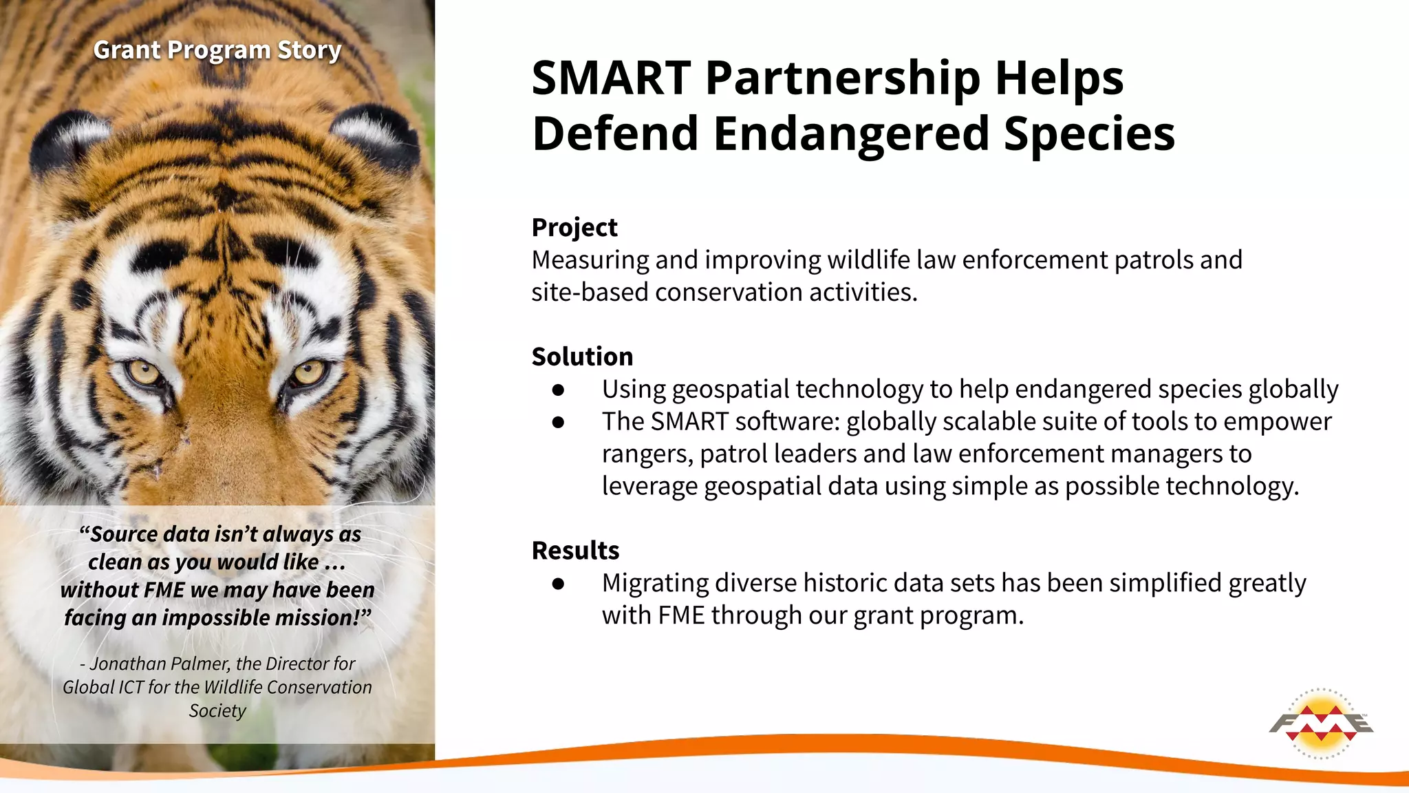
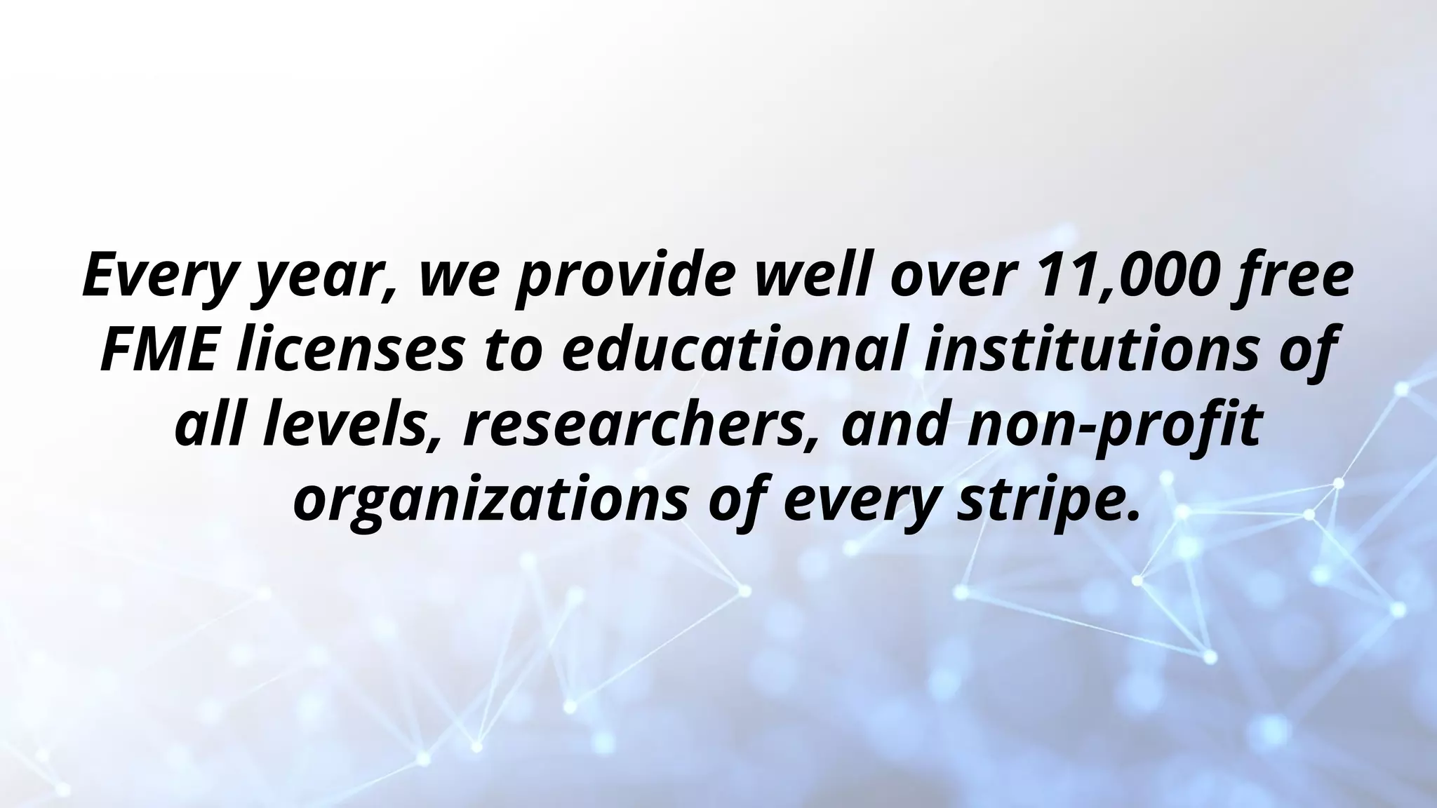
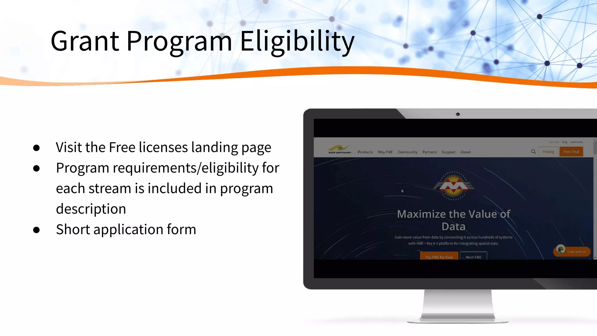
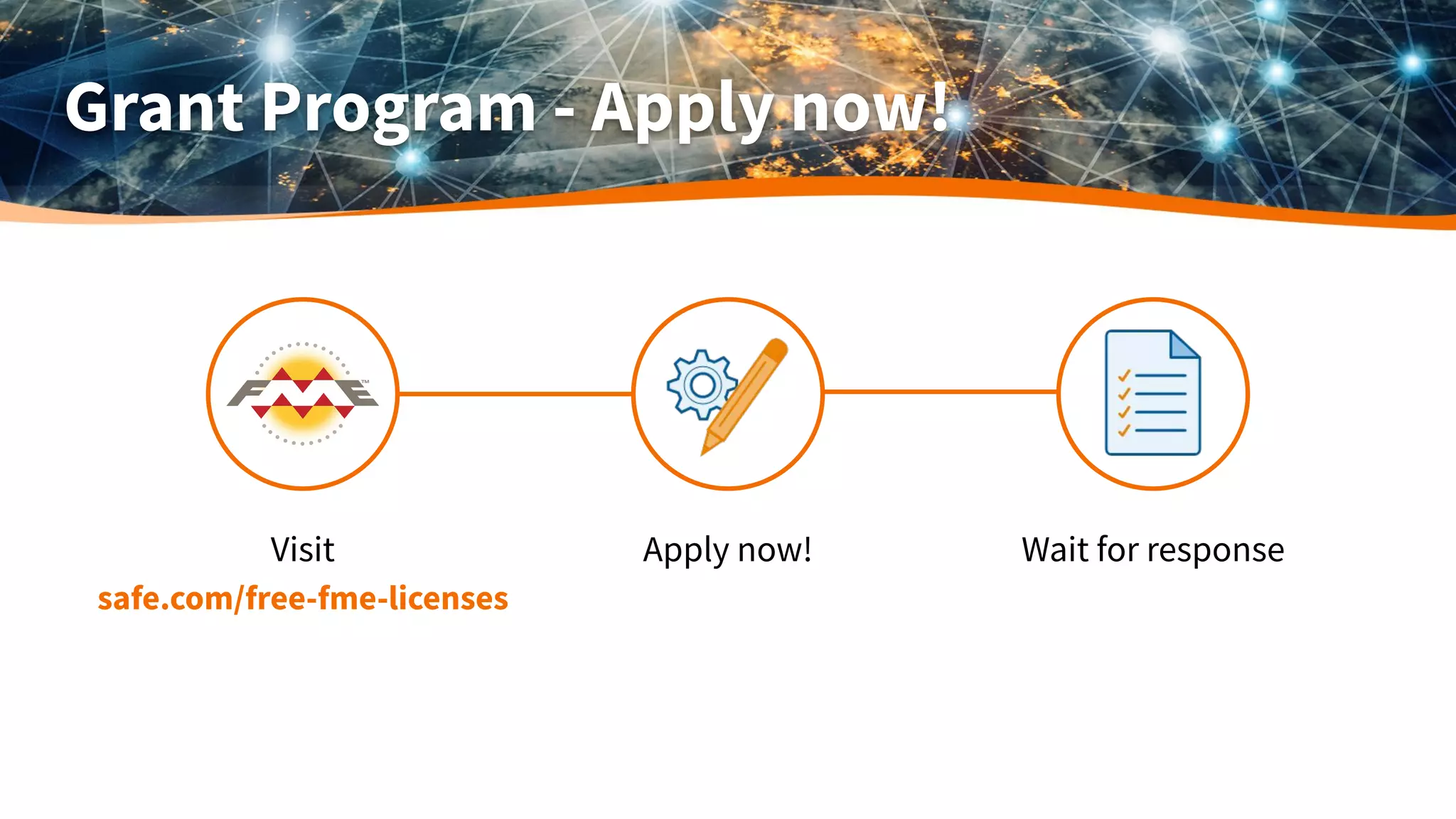
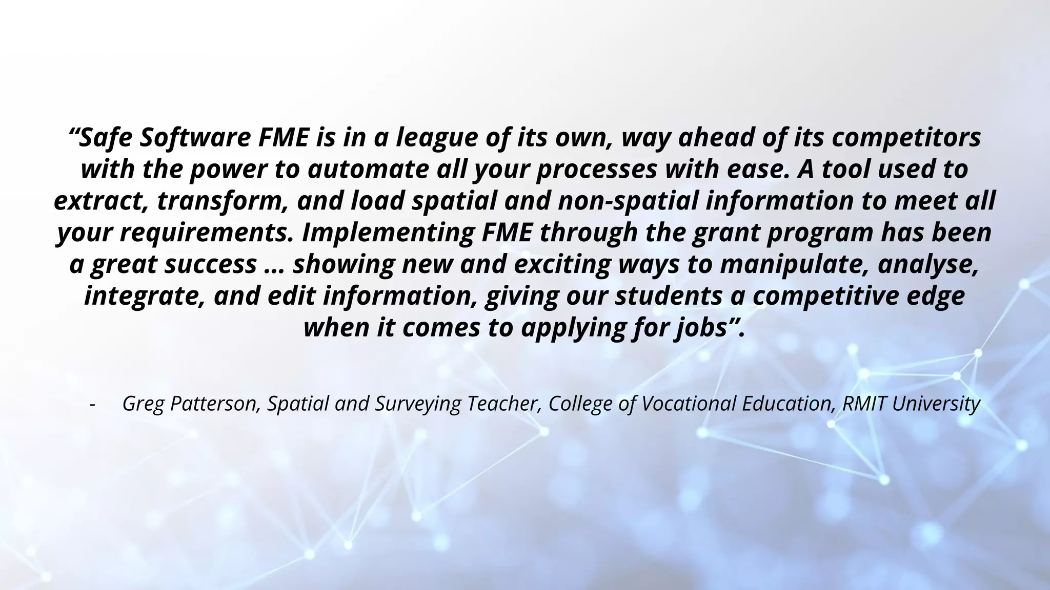


This document summarizes a presentation about Safe Software's data integration tool FME and its Grant Program. The presentation introduces FME and its capabilities for data transformation and integration. It provides examples of how customers have used FME for projects involving flood risk management, wildlife conservation, and more. The presentation also describes Safe Software's Grant Program which provides over 11,000 free FME licenses annually to educational institutions, researchers, and non-profits to help them use data to better their communities and the world.