Download to read offline


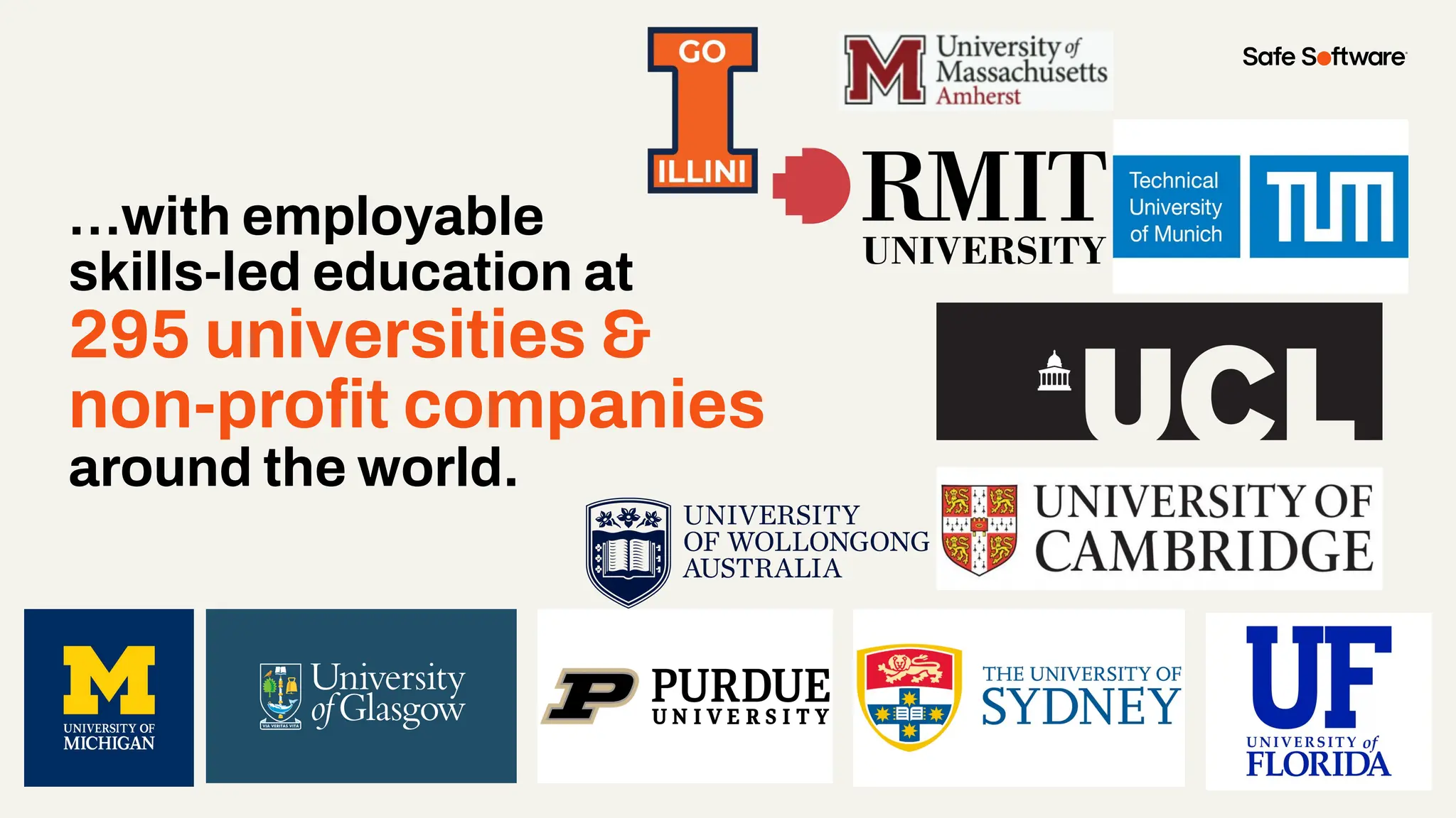


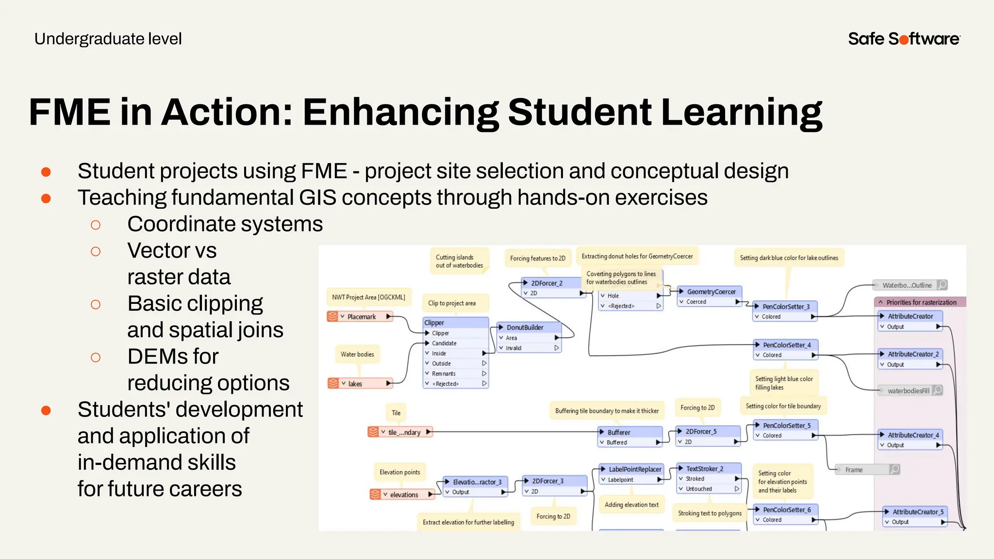
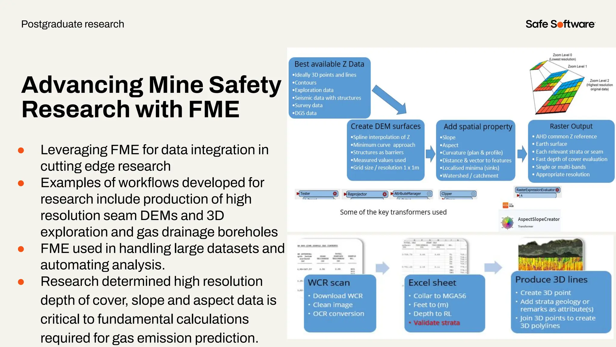

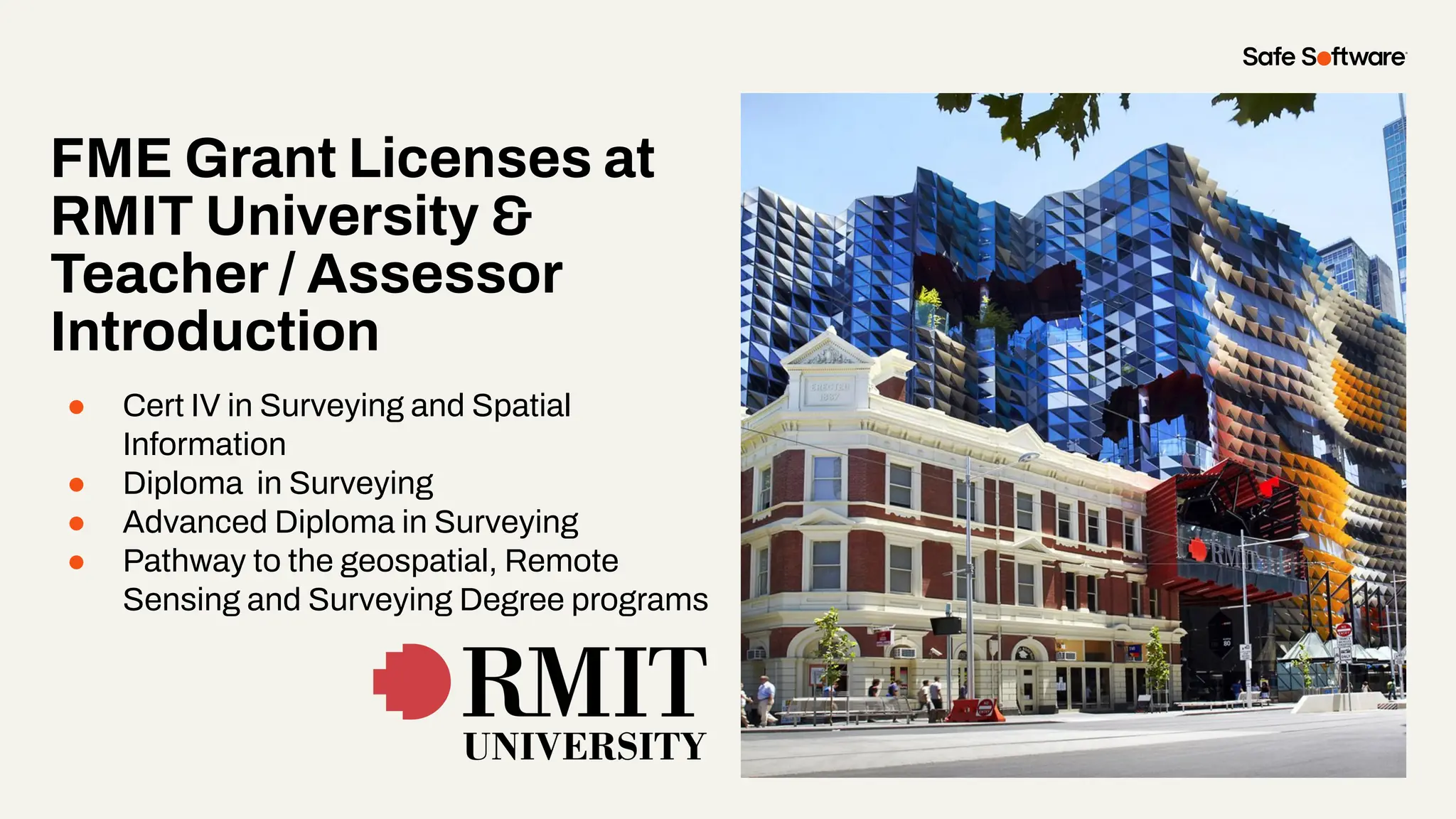

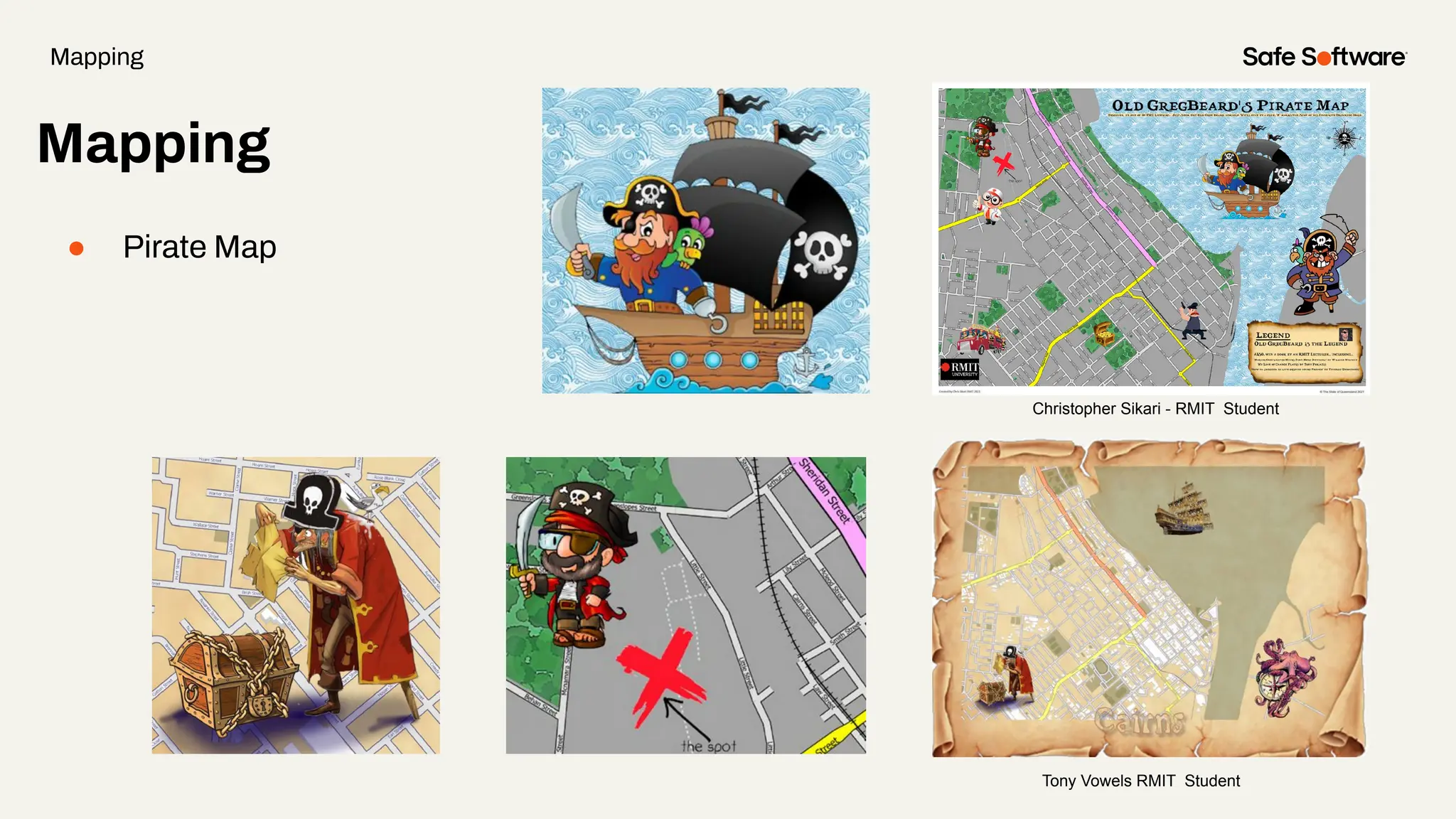


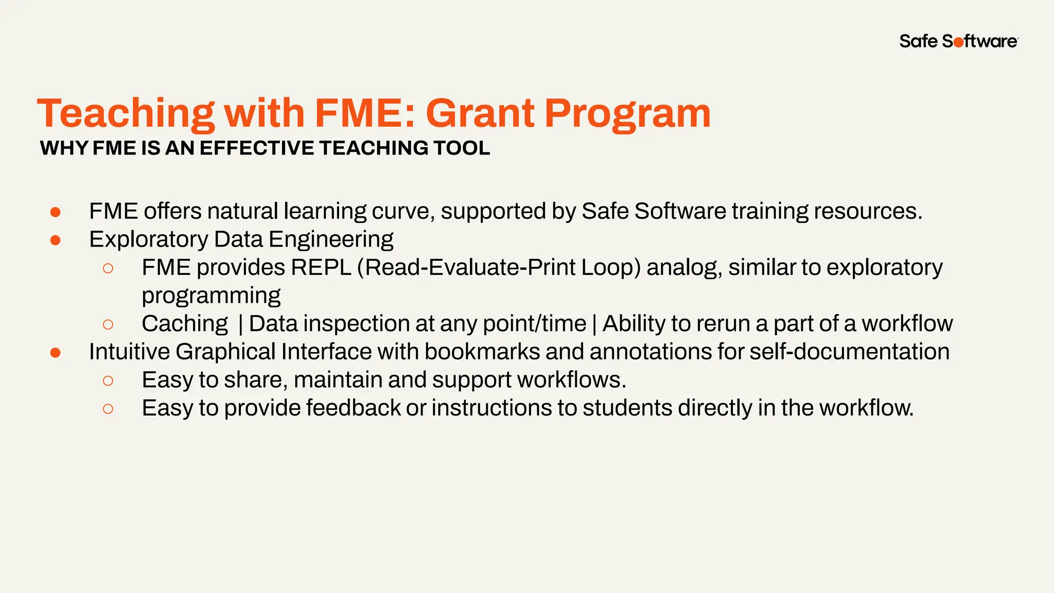
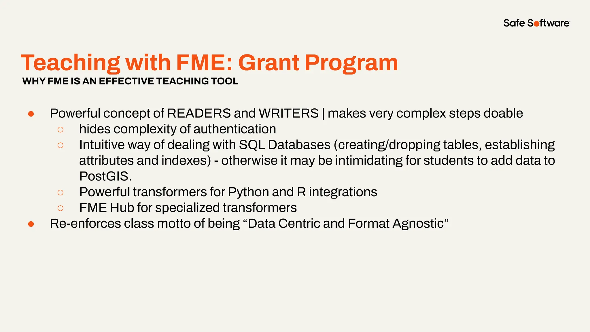
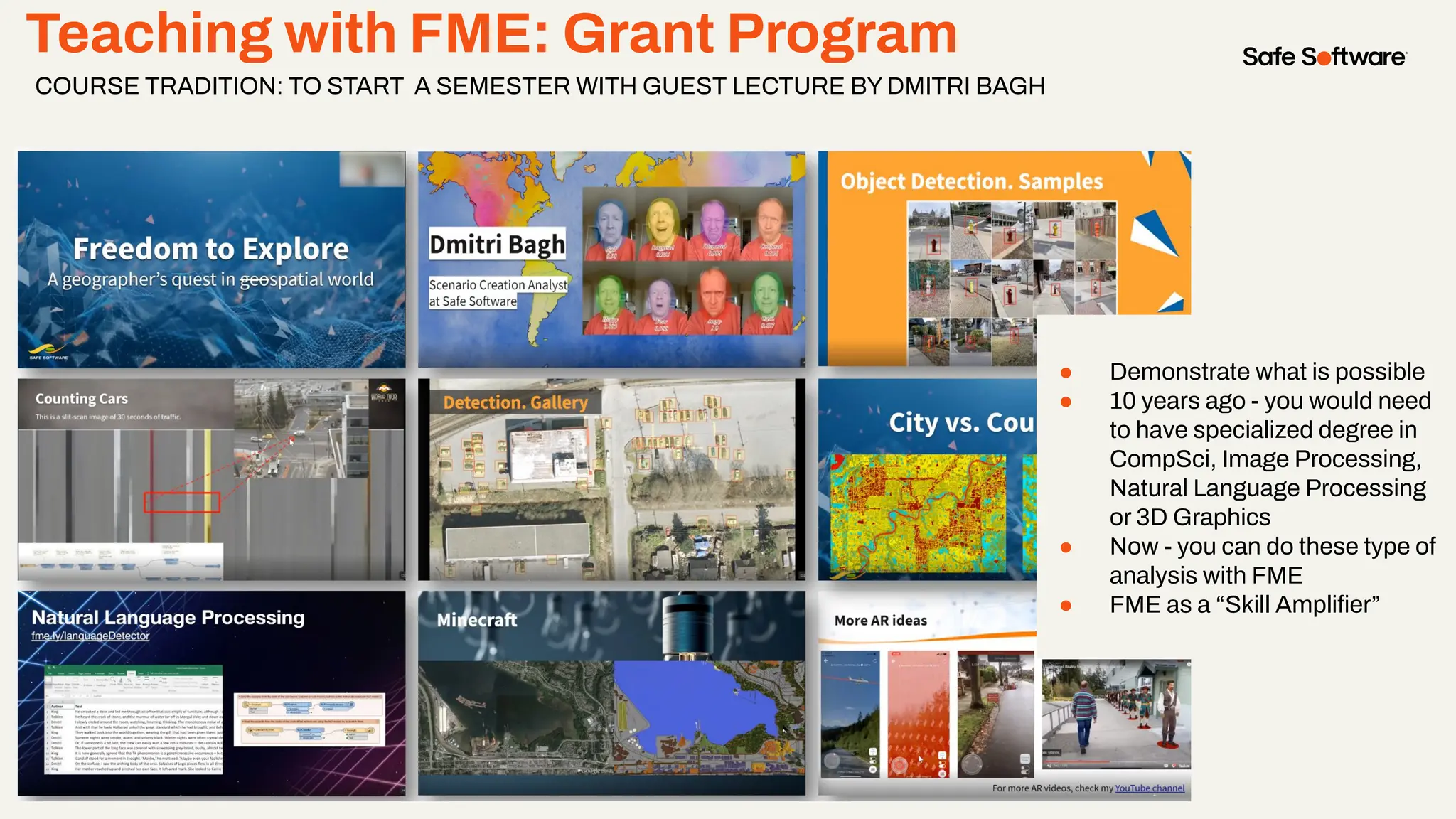


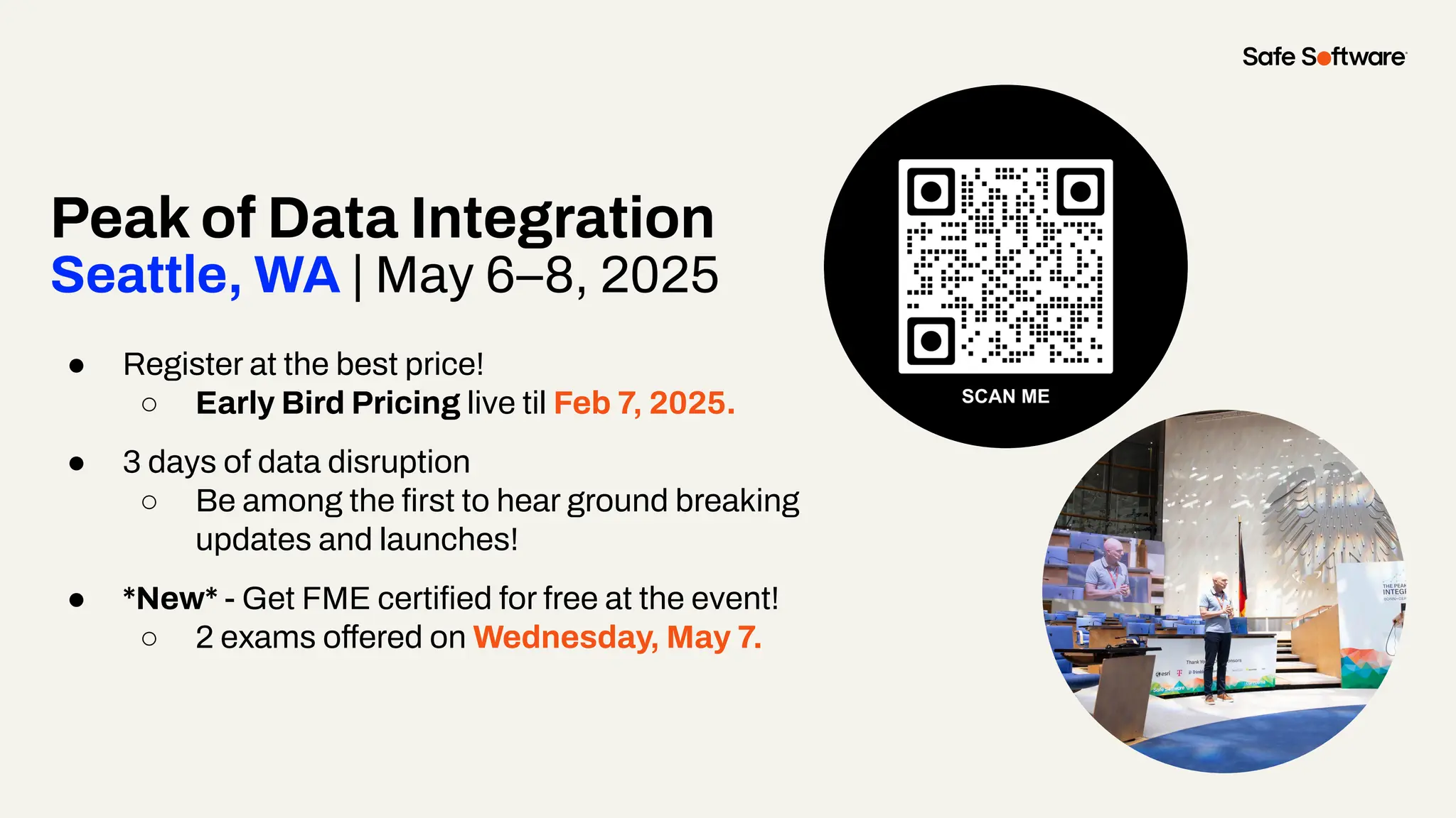


The document discusses the FME grant program which supports educators and students by providing licenses for using FME software in academic settings. It highlights various use cases in university projects that enhance student learning and research capabilities, especially in fields like GIS and data integration. The upcoming 'Peak of Data Integration' event in Seattle from May 6-8, 2025, is also announced, offering early registration and free certification opportunities.


![Vibe Coding vs. Spec-Driven Development [Free Meetup]](https://cdn.slidesharecdn.com/ss_thumbnails/vibecodingvsspecdrivendevelopment-251209105622-43f455e7-thumbnail.jpg?width=640&height=640&fit=bounds)


